Essay · CALIFORNIA
San Mateo-San Francisco walk
I organized a small group to walk from San Mateo to San Francisco.
Our party size peaked at 12 people, and arrived at our final destination (4th & King Caltrain Station) with 4 remaining.
It was quite an adventure (taking over 7 hours, including a lunch break) and here are the photos to prove it!
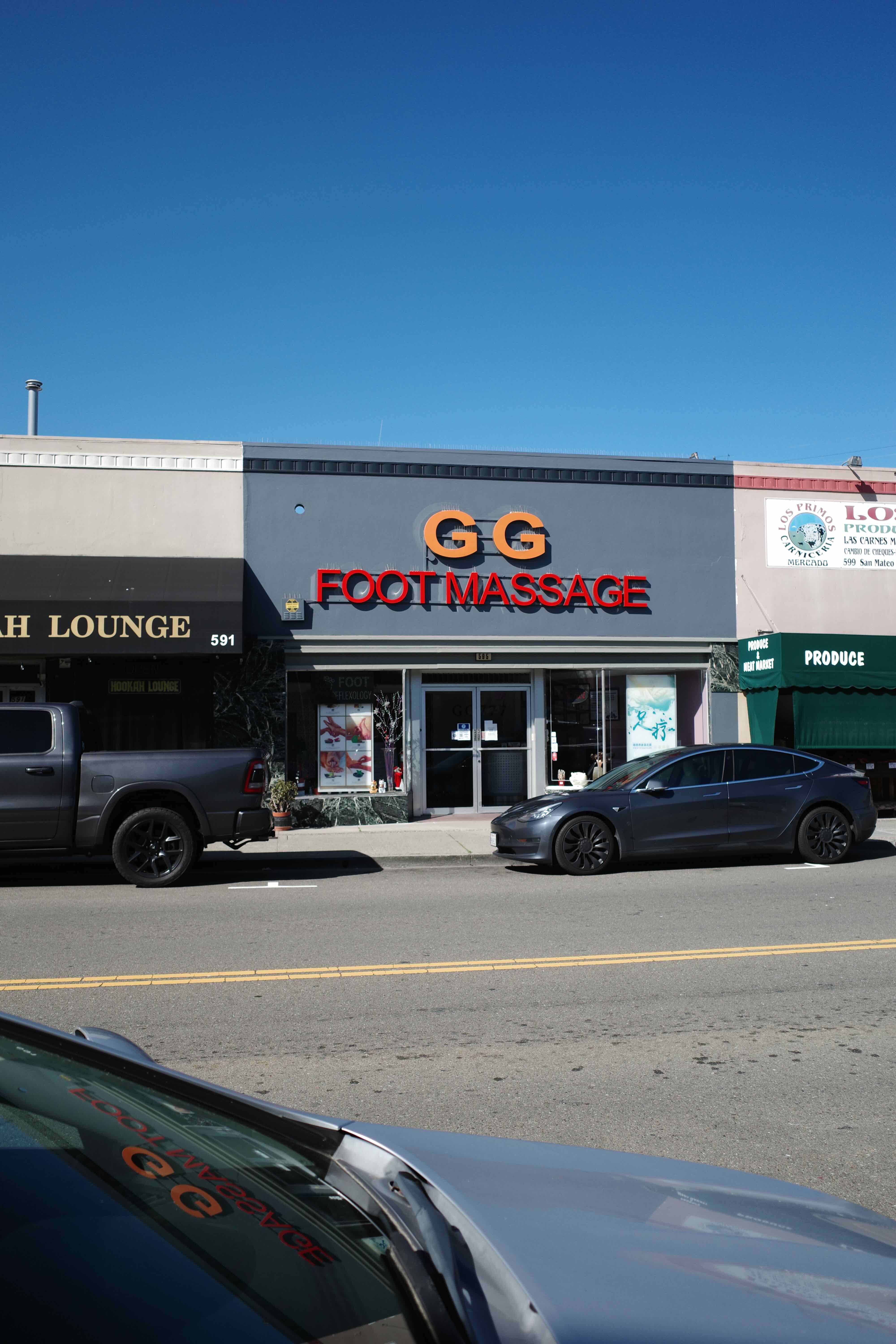
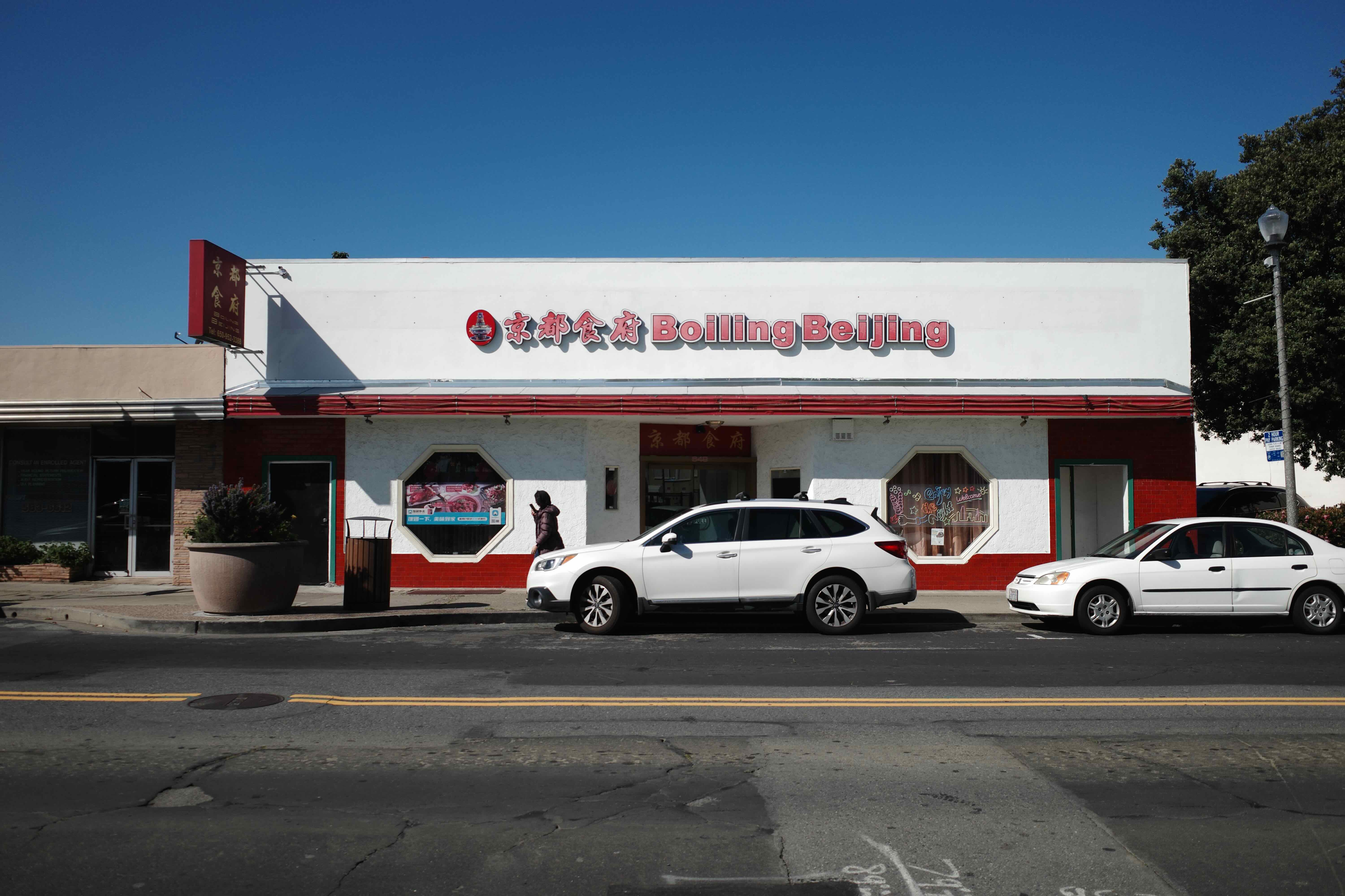
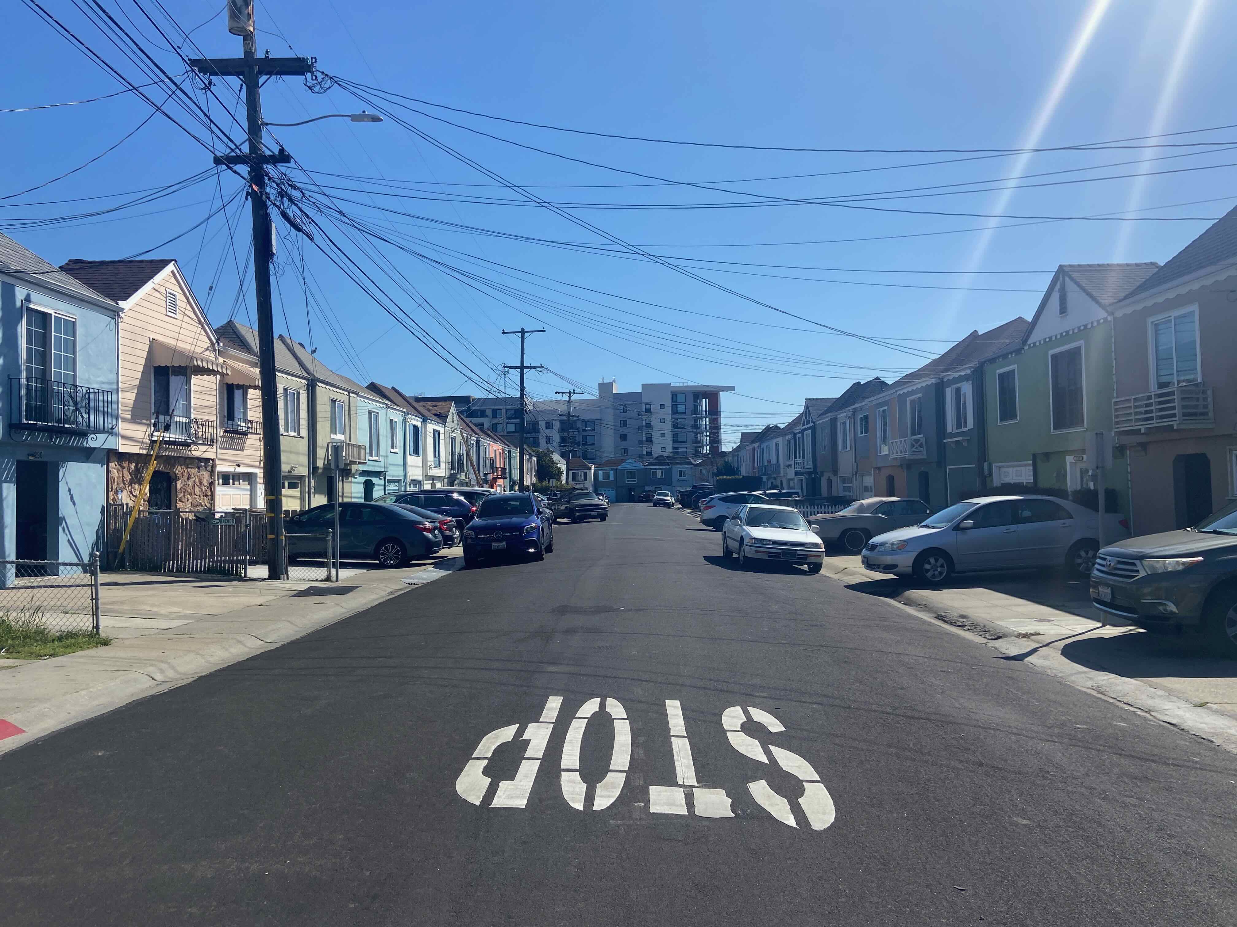
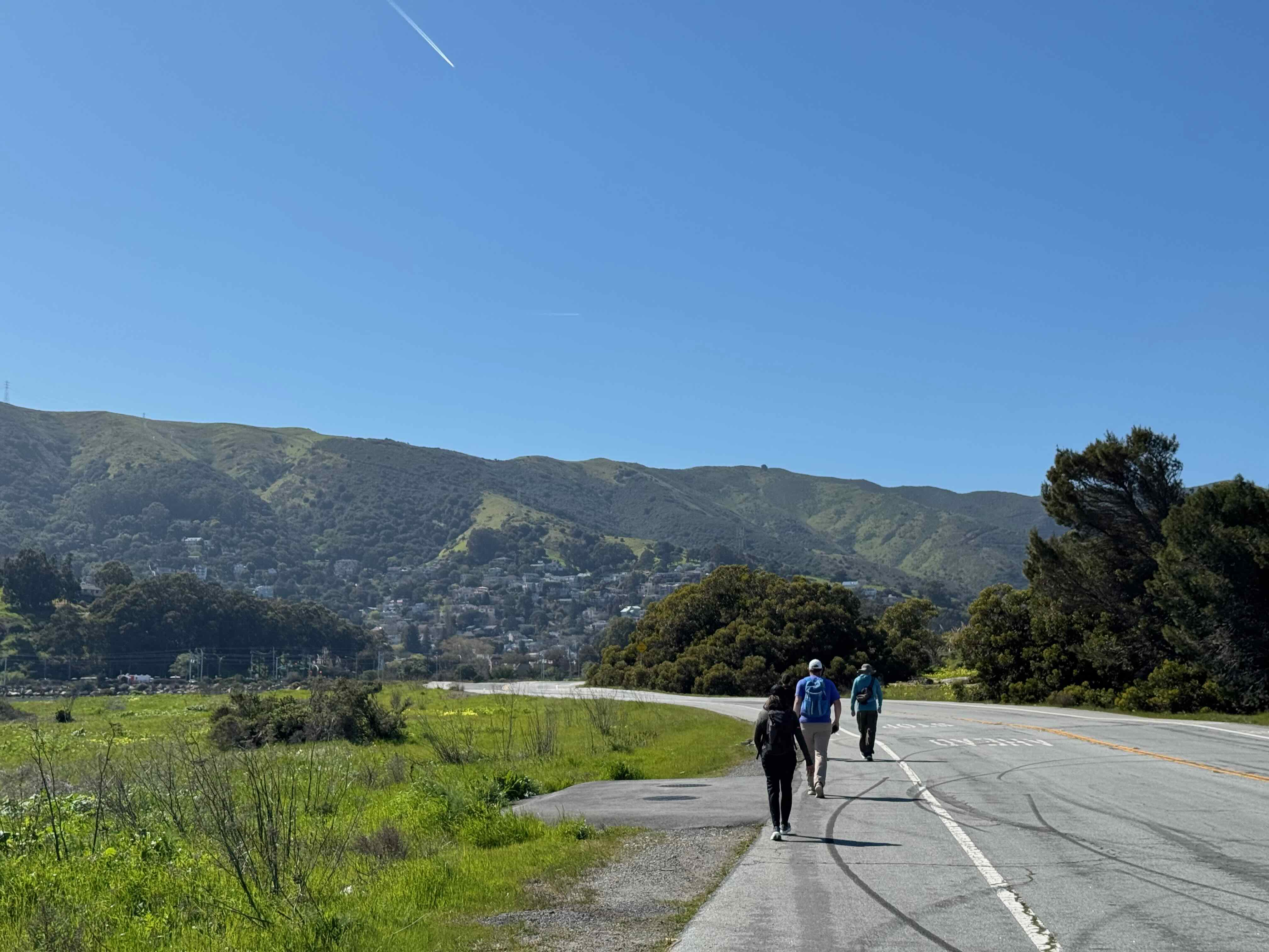
Beginning from San Mateo Caltrain station, we zig-zagged on quiet streets, through Burlingame to Millbrae:
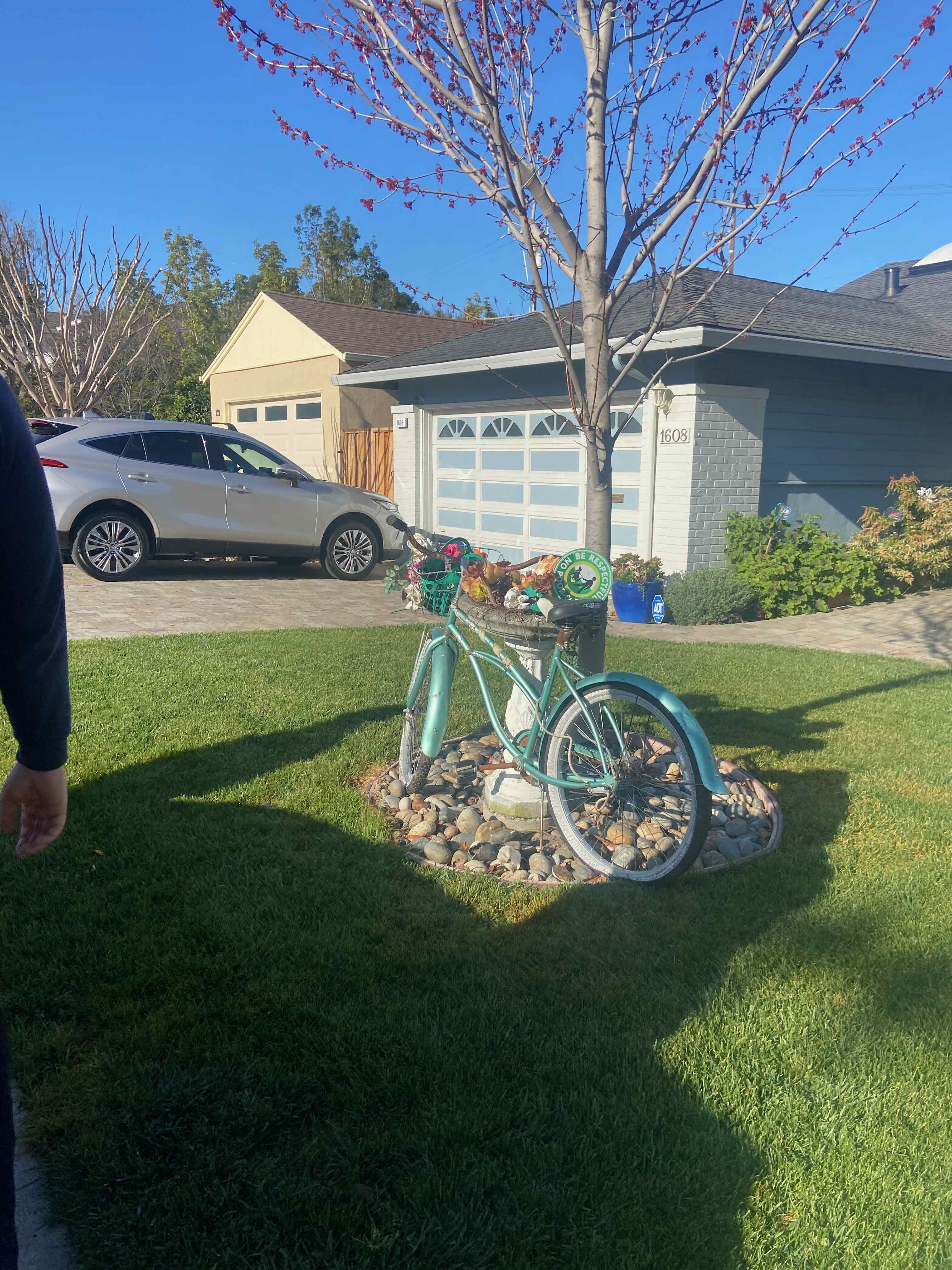
We passed through low density, single family home neighborhoods–some with unique lawn decor:
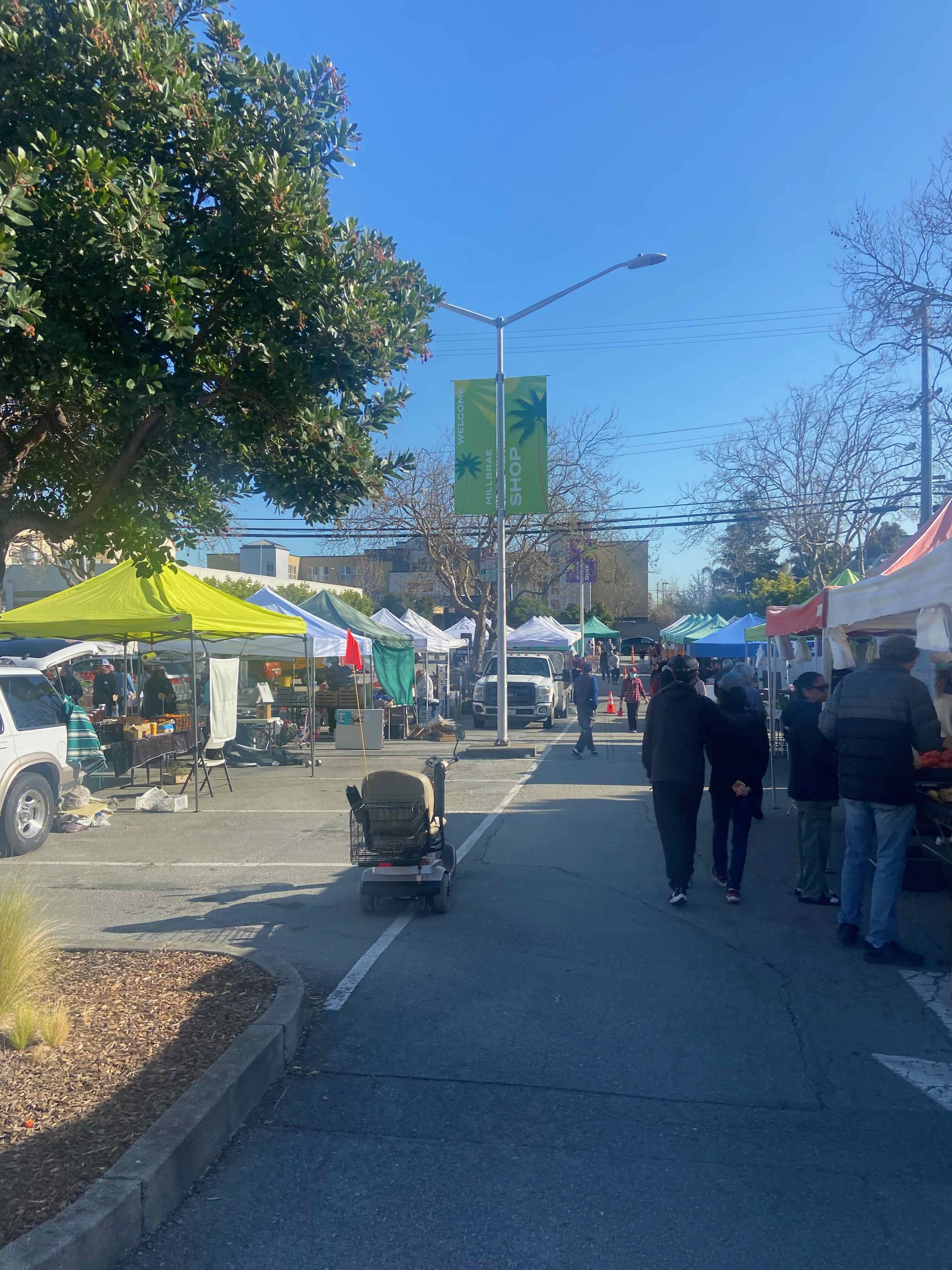
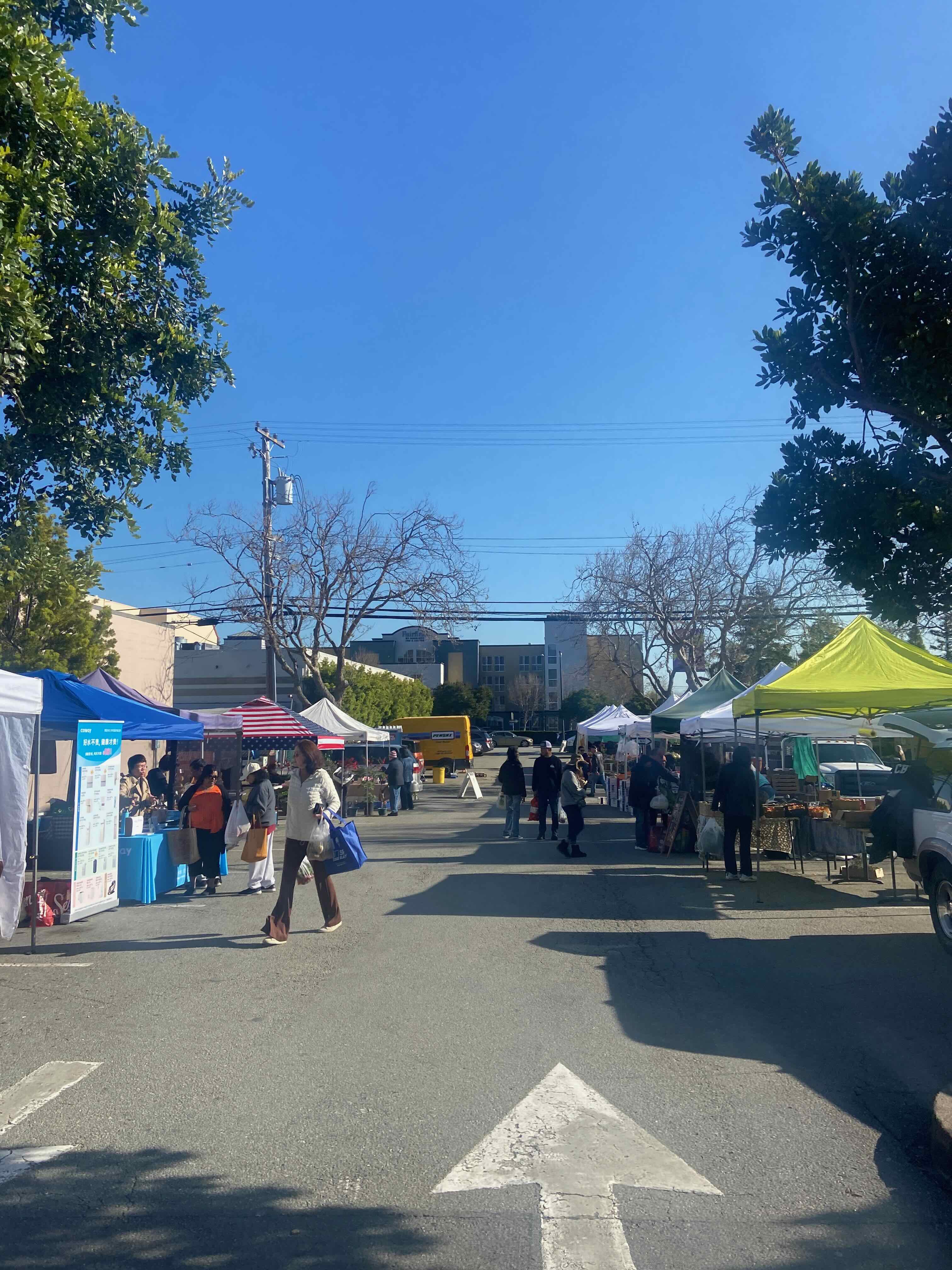
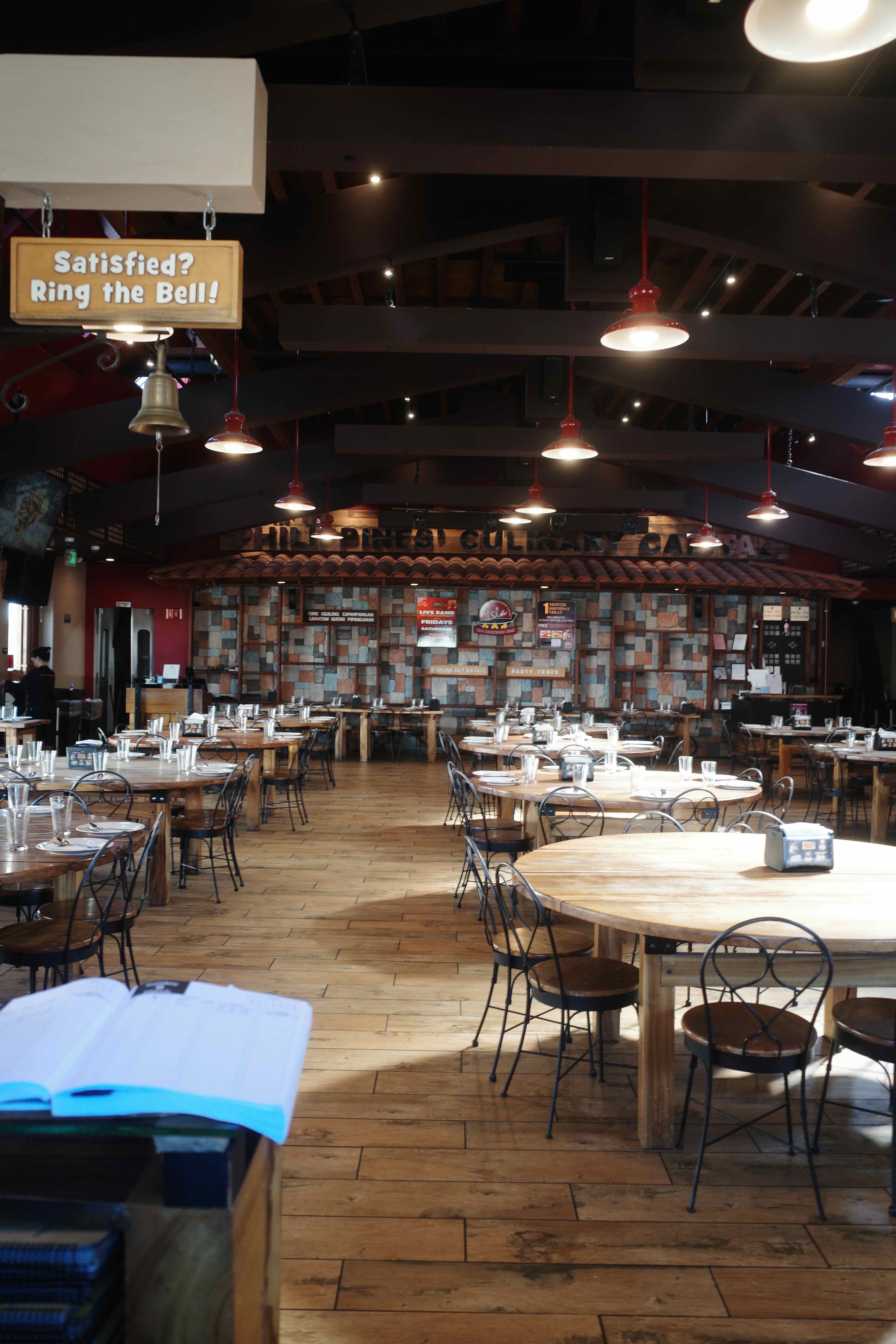
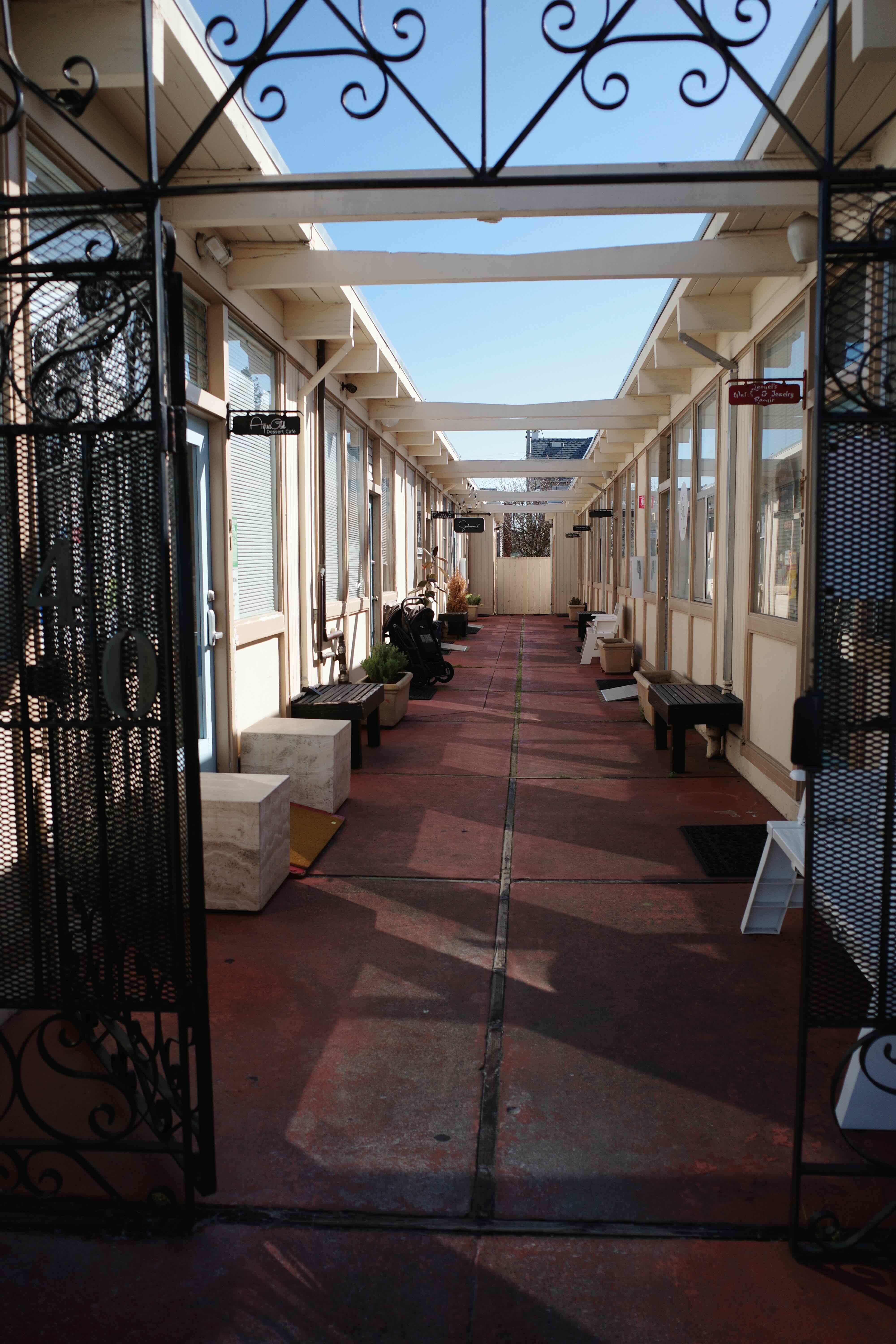
And in Millbrae’s downtown we caught sight of a small farmers market:
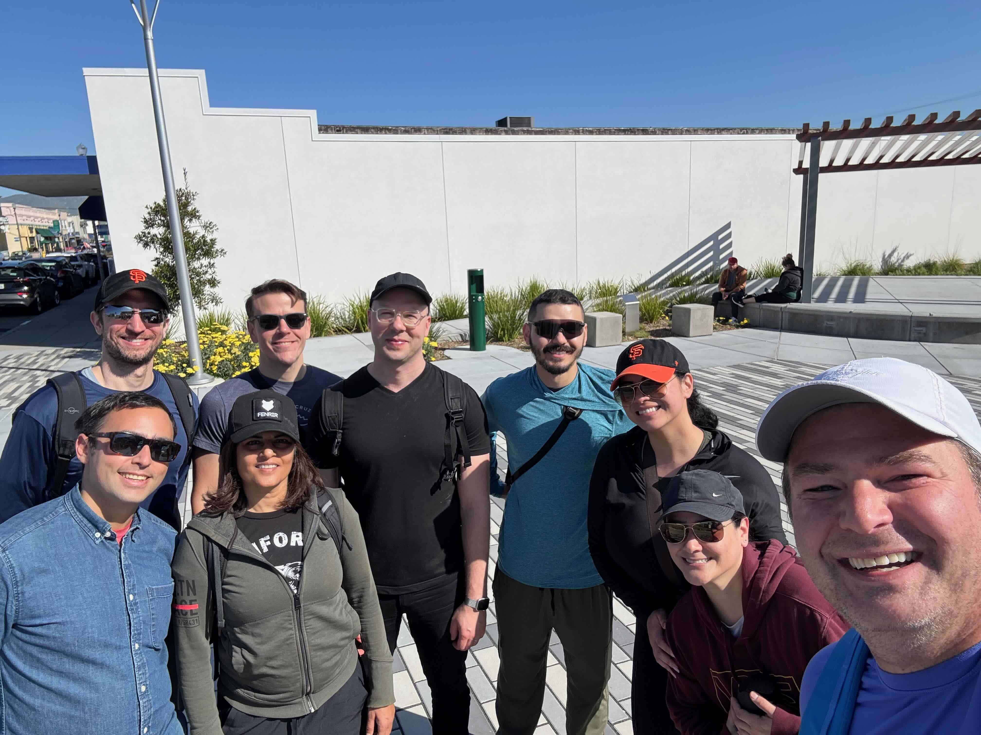
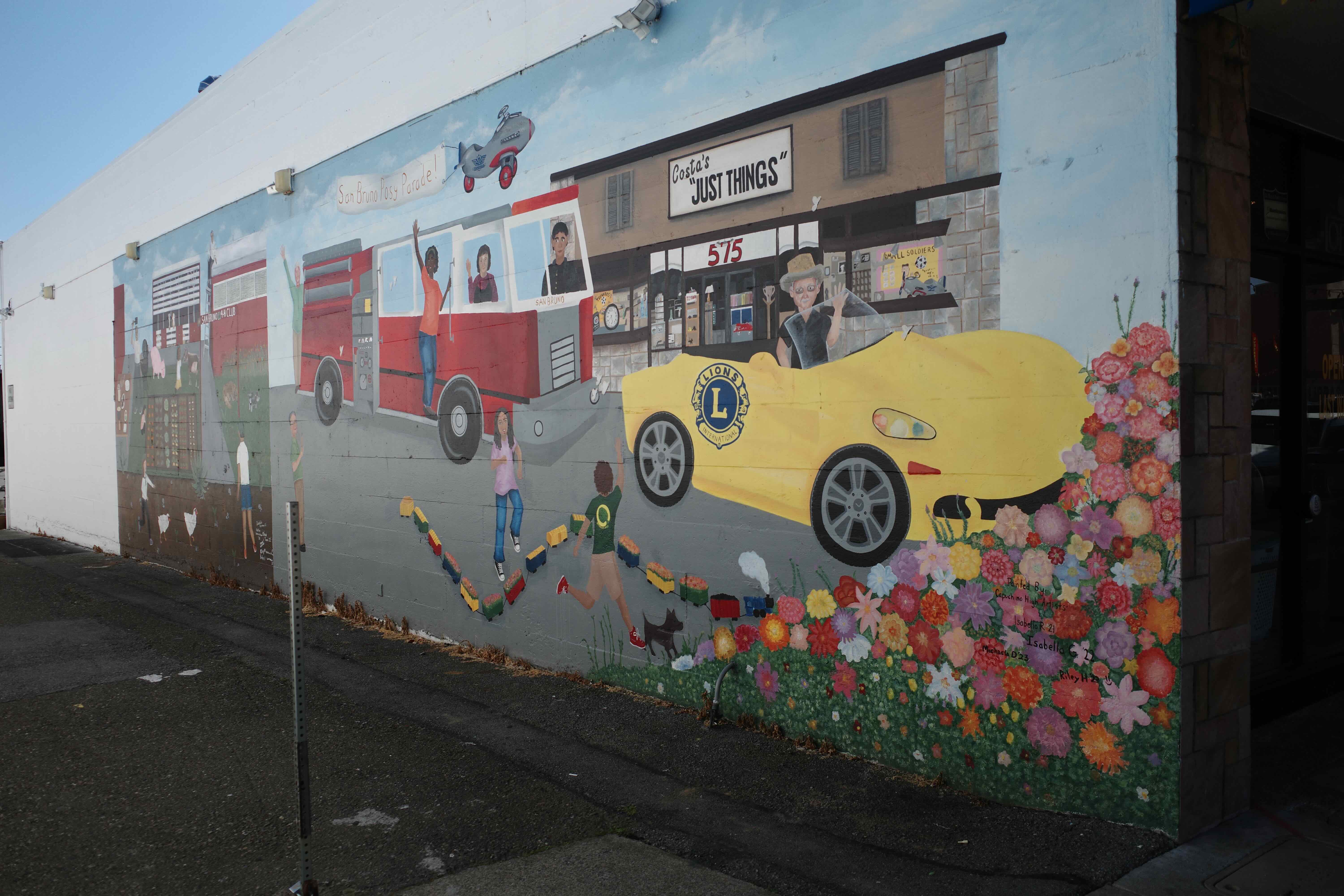
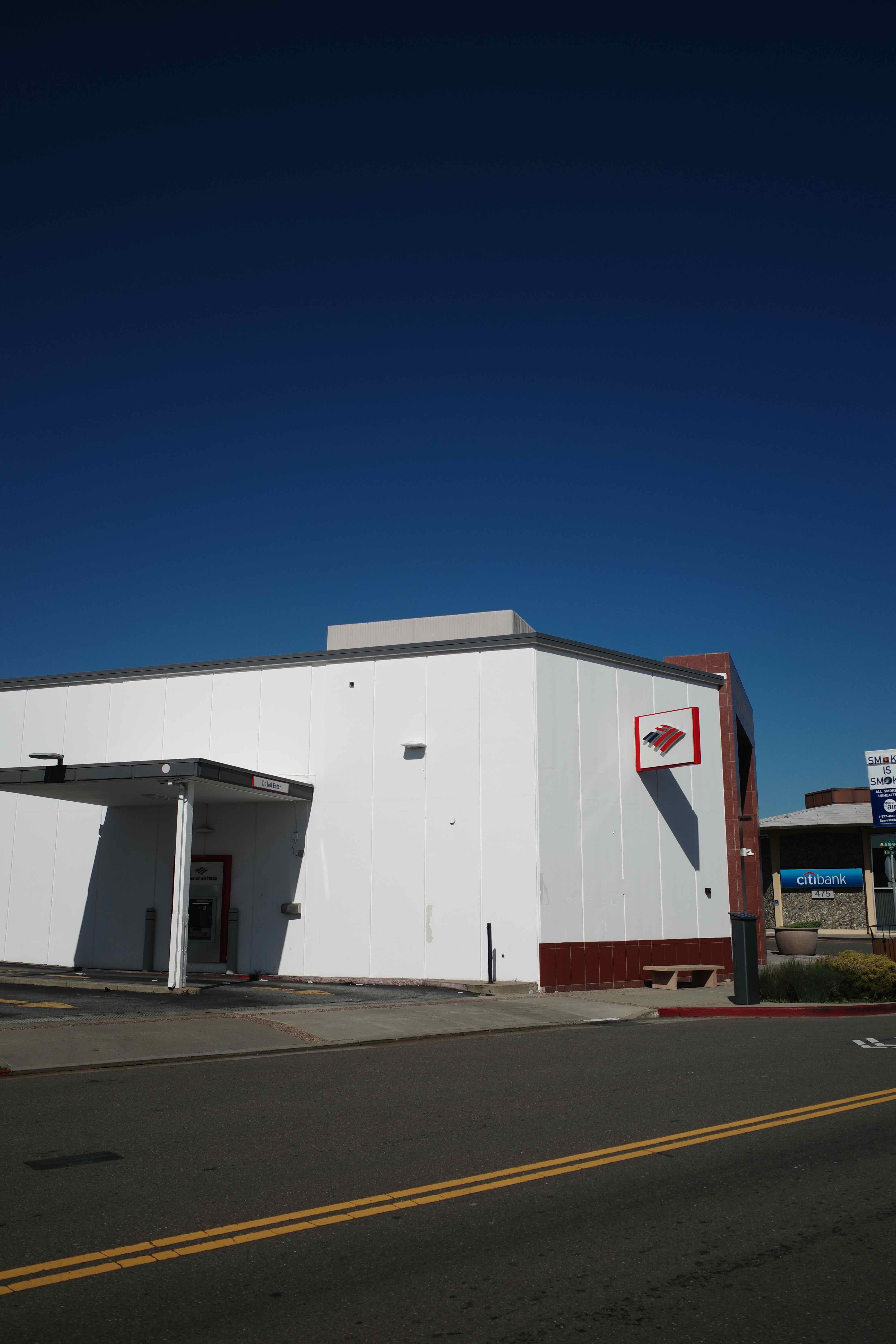
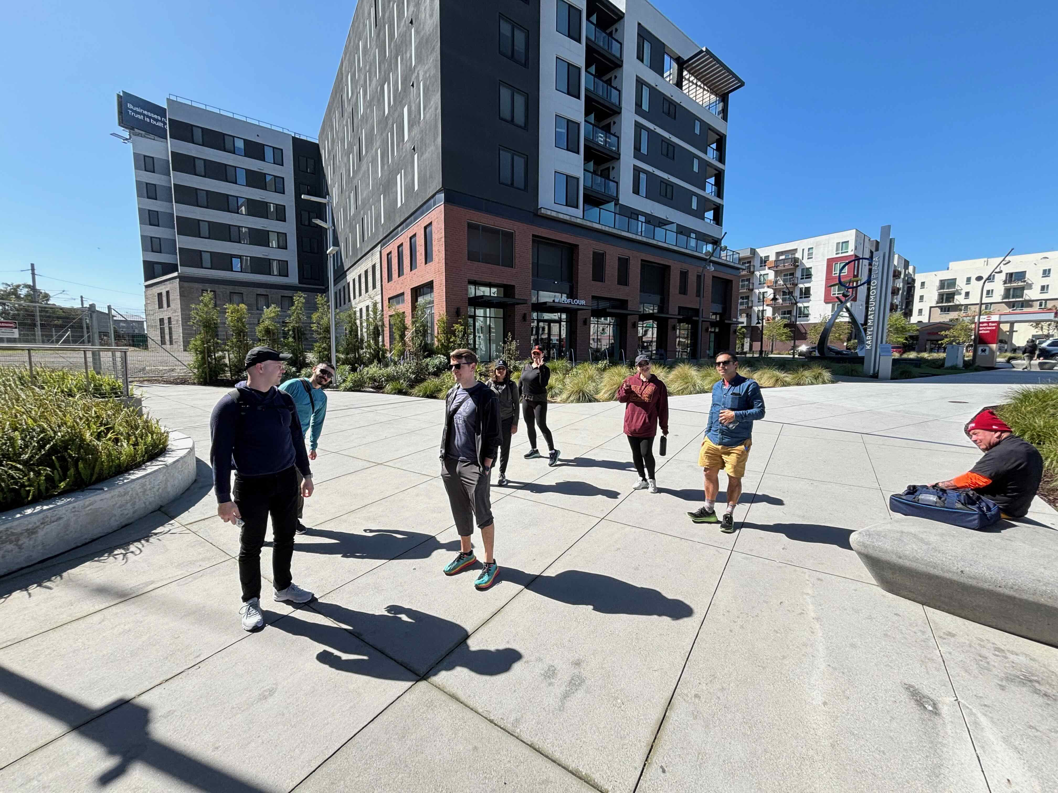
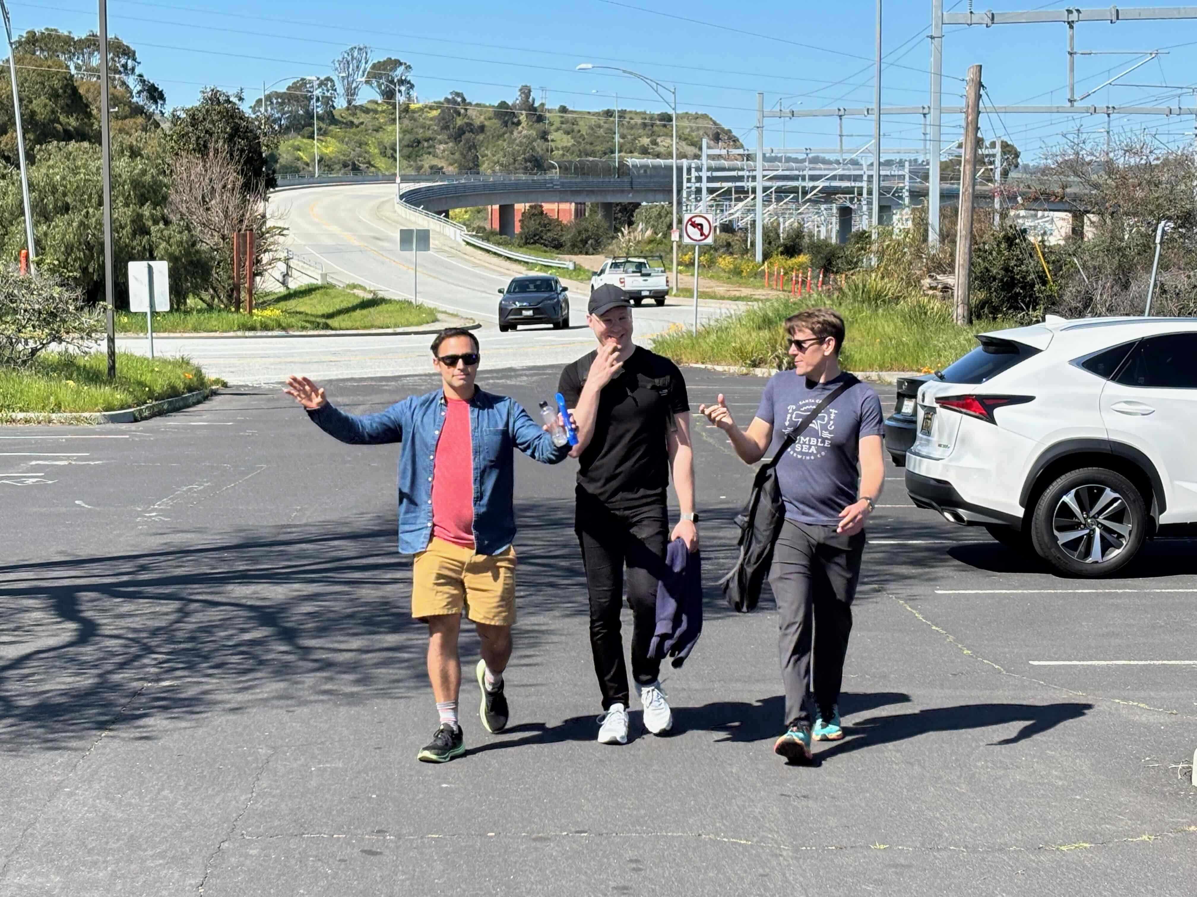
Passing through Millbrae, the next city north was San Bruno and we stopped off for a group selfie in the downtown plaza:
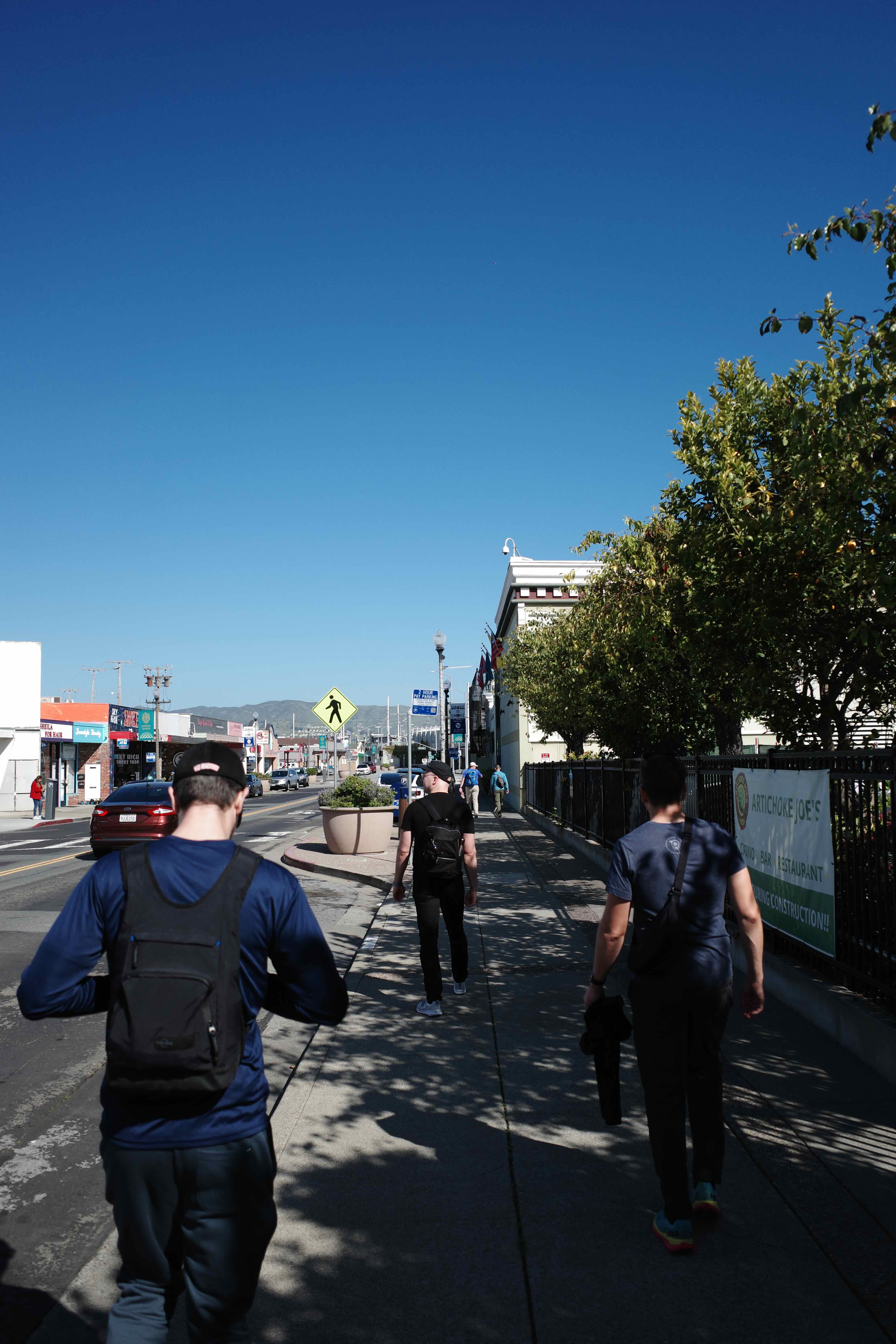
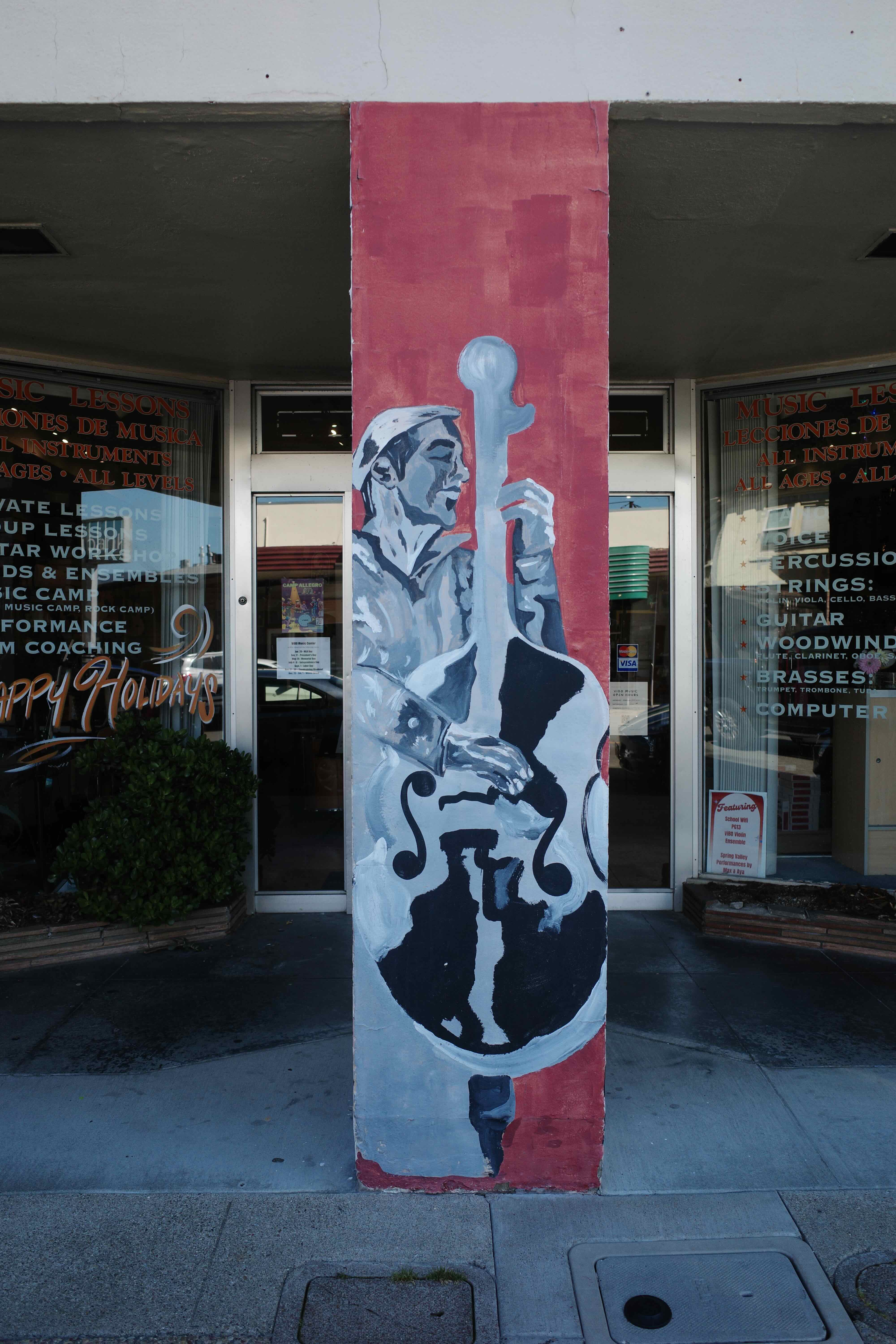
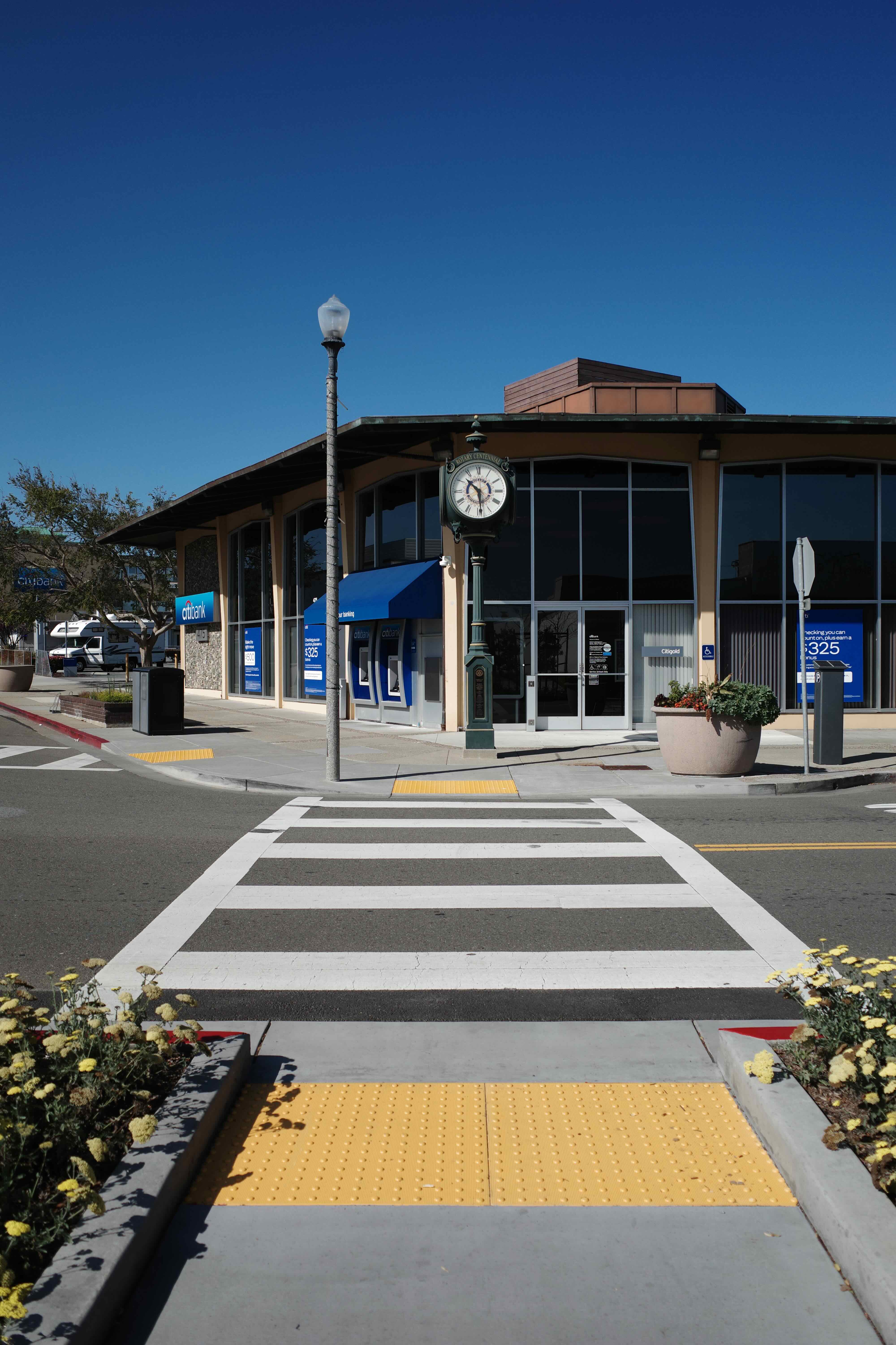
I took quite a few photos of downtown San Bruno, on my Ricoh GR iii camera.
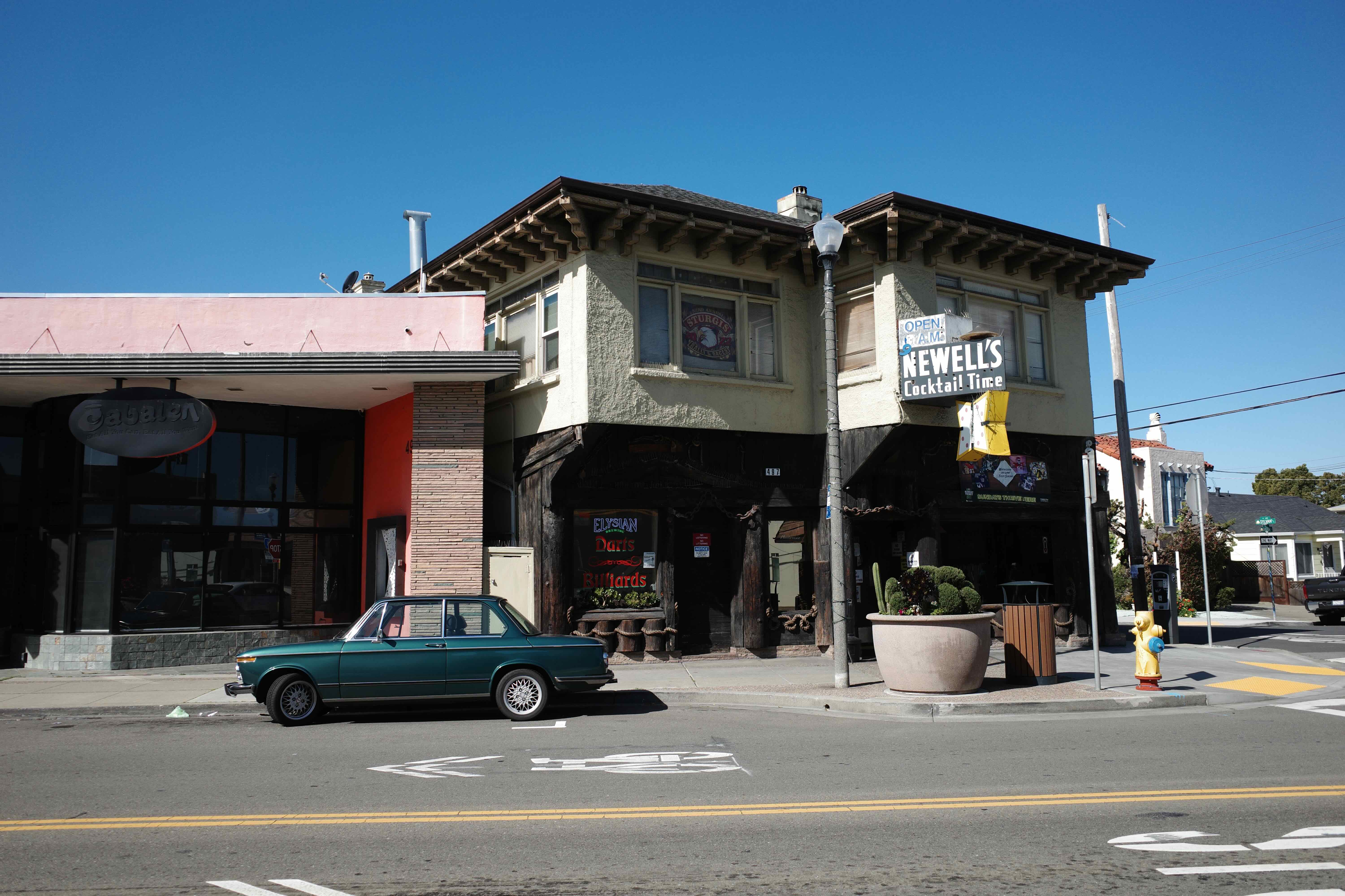
Some wall art, some nice lighting:
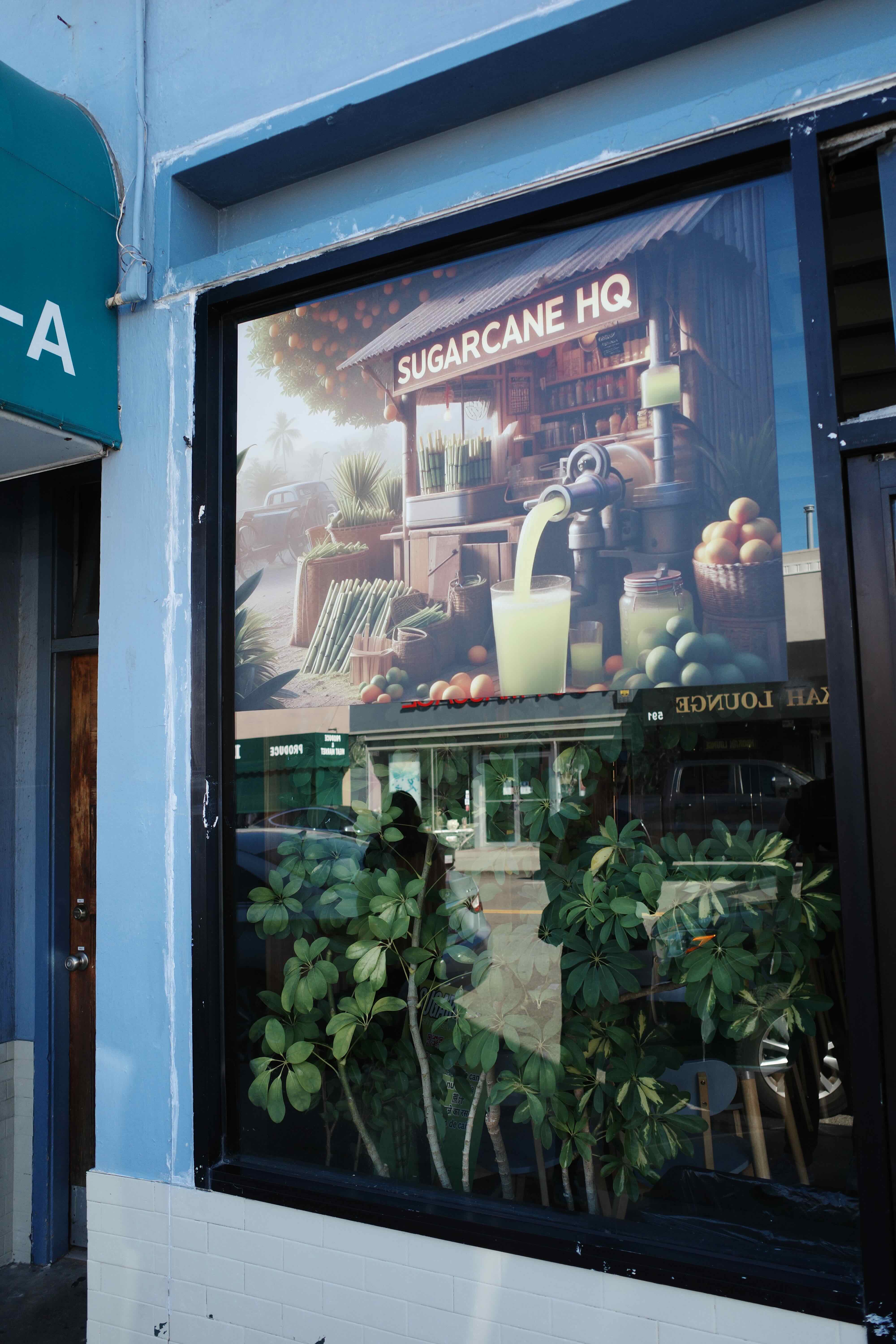
Stores have begun printing AI-generated art for their promotional assets:
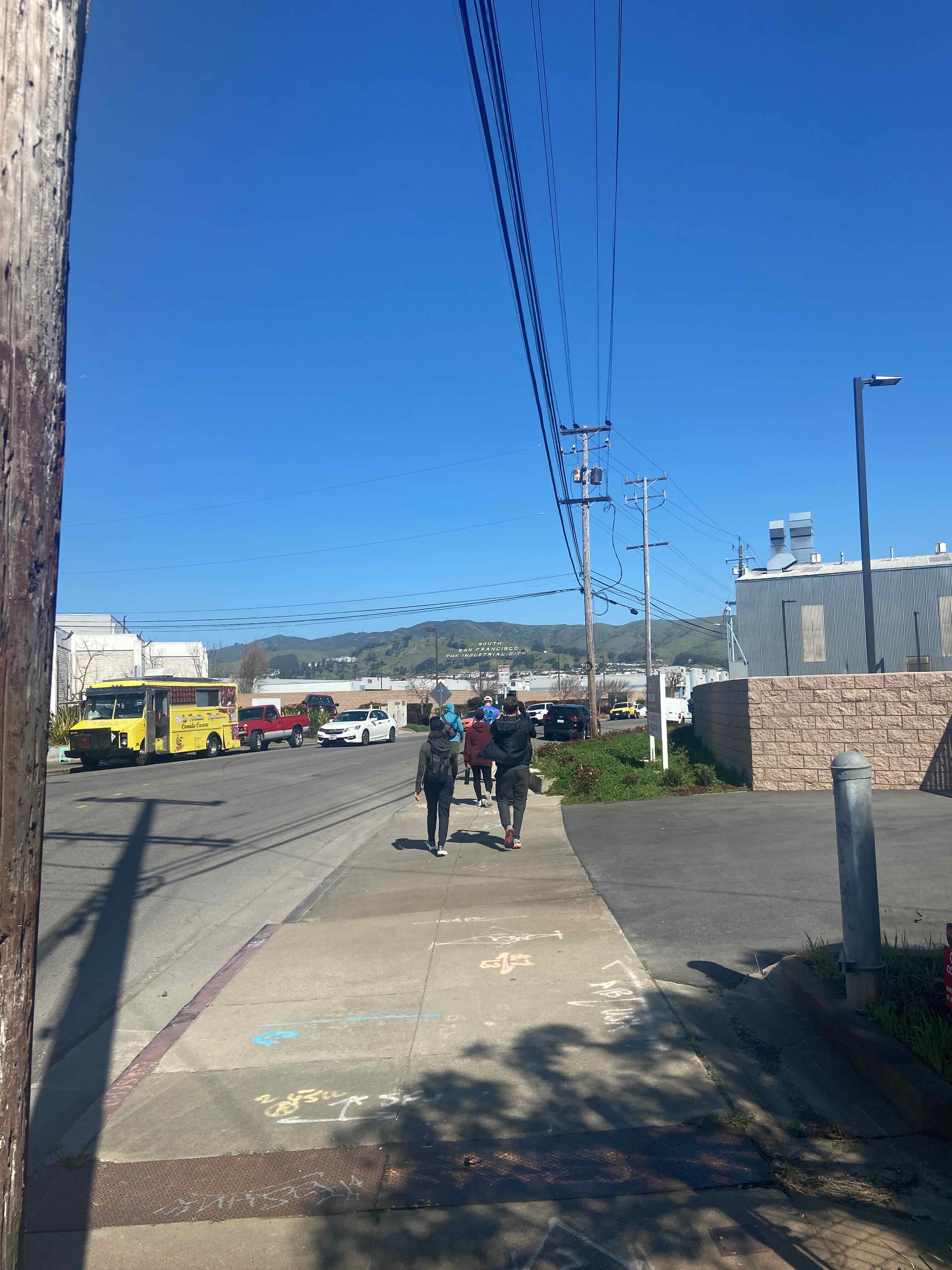
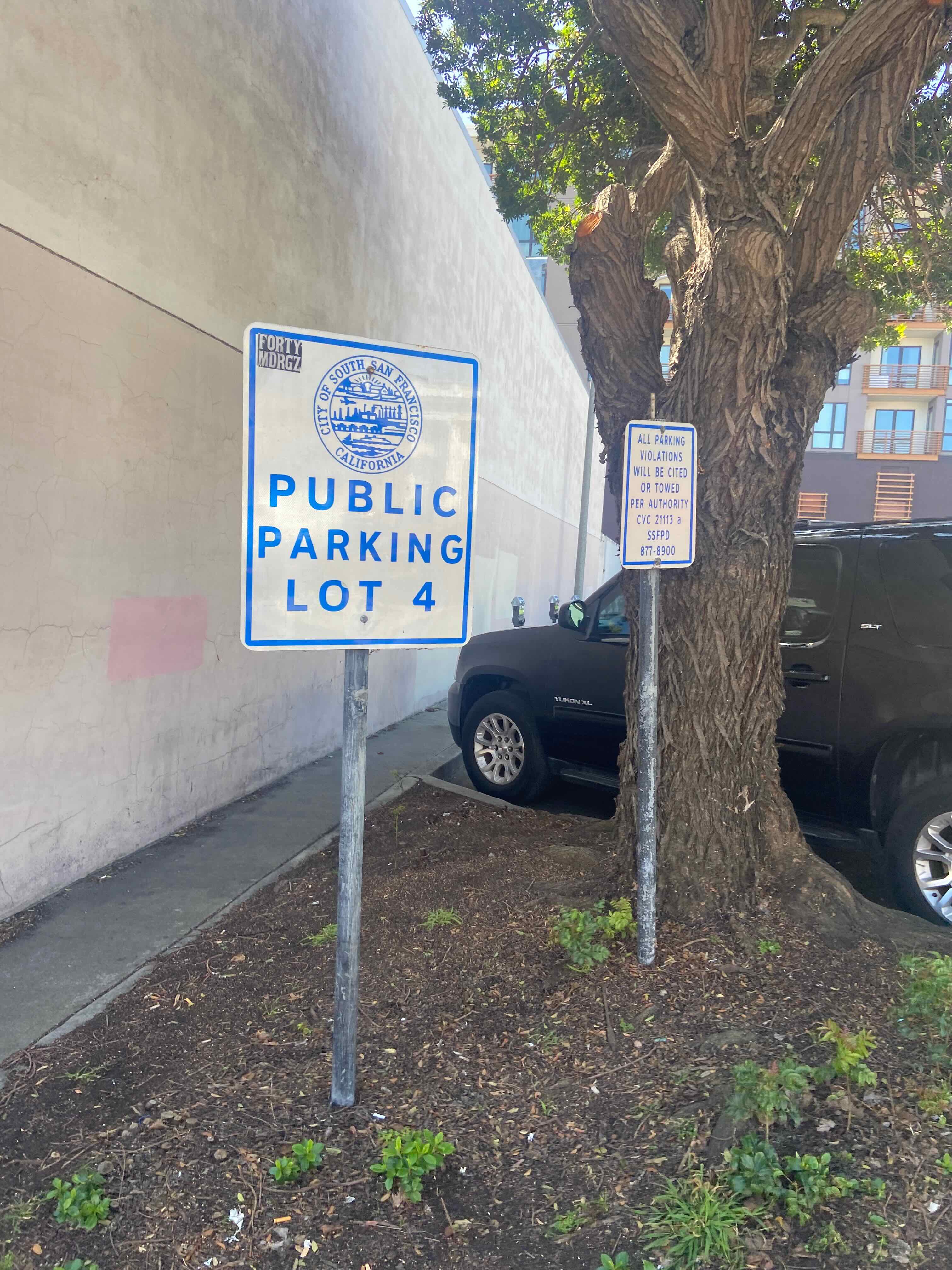
San Bruno was only part of the way, so we soldiered north through the city of South San Francisco (AKA “South City”).
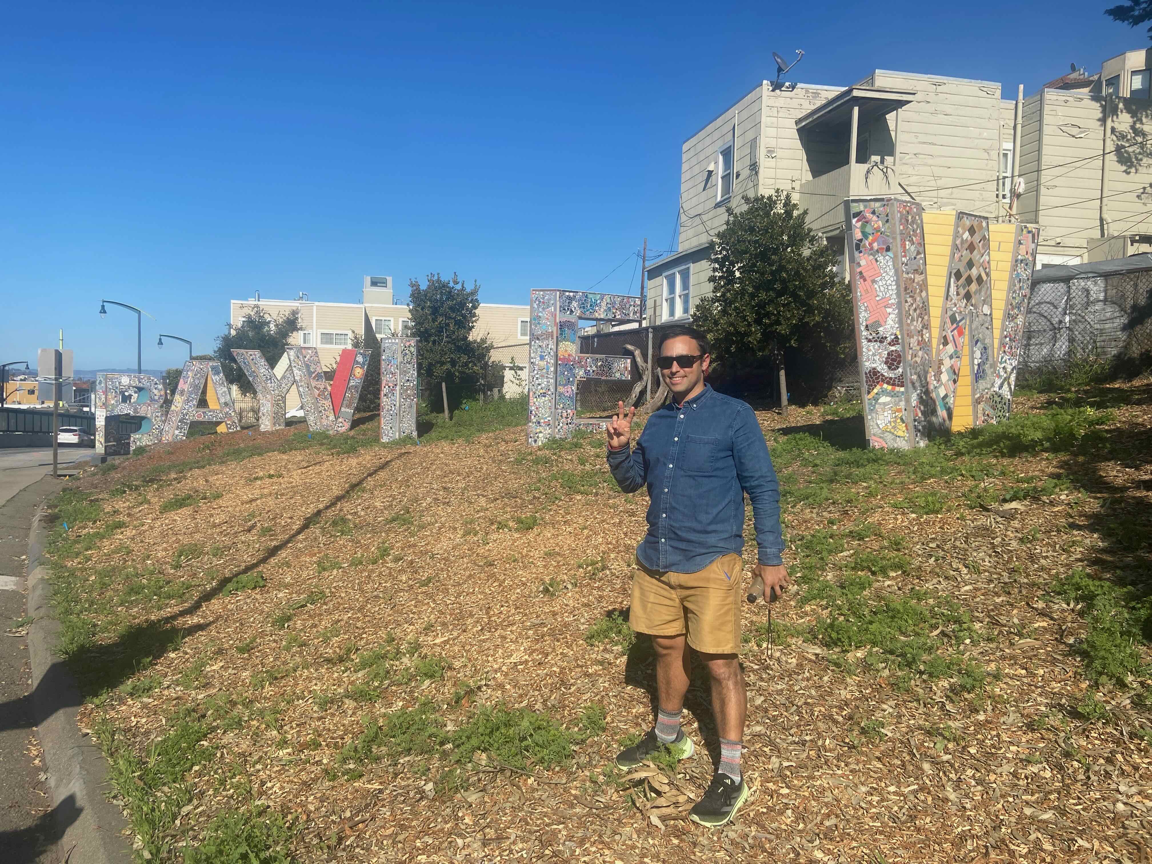
The approach to SSF’s downtown from the south afforded us views of its famous sign–and some industrial roadways:
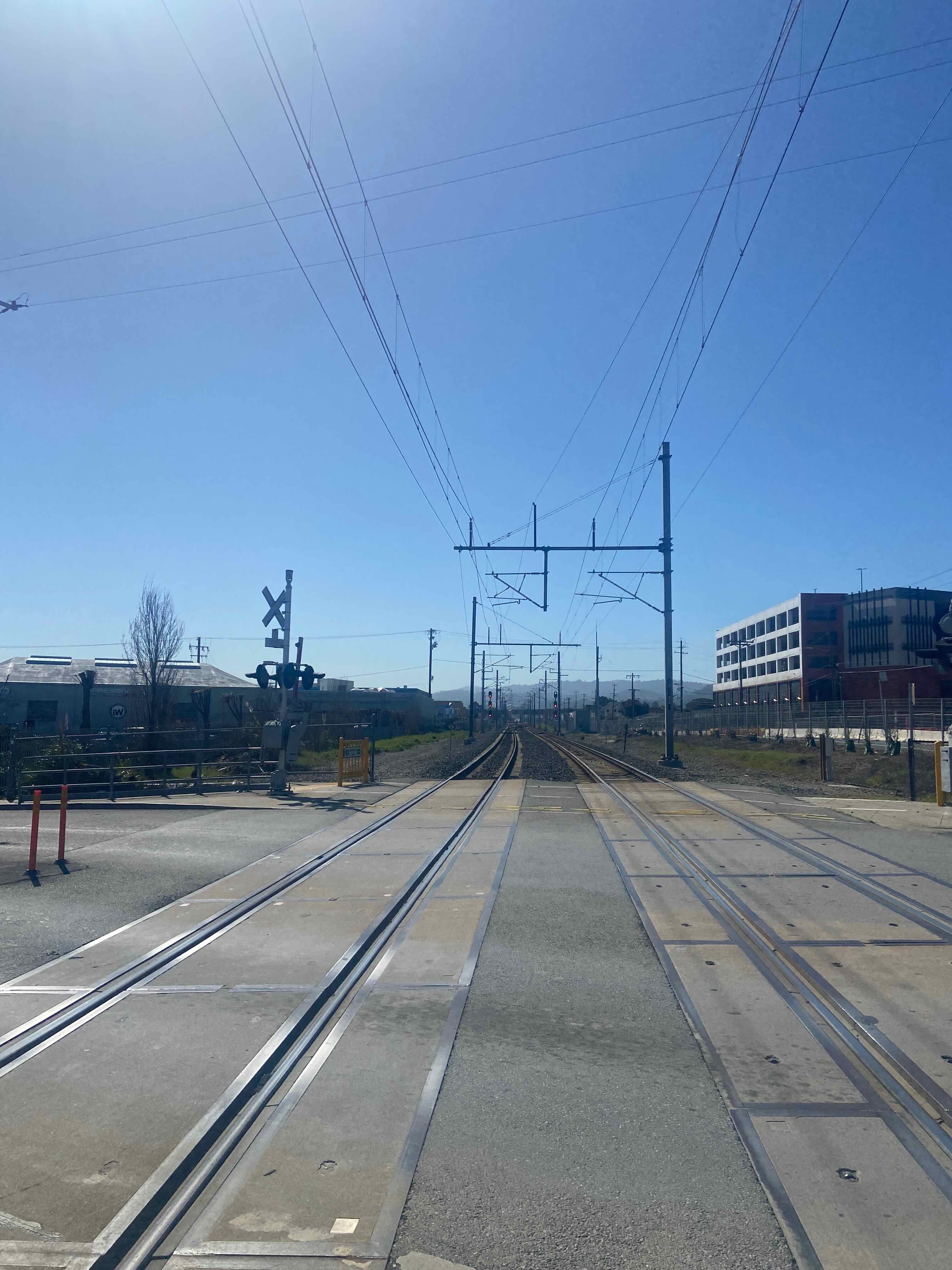
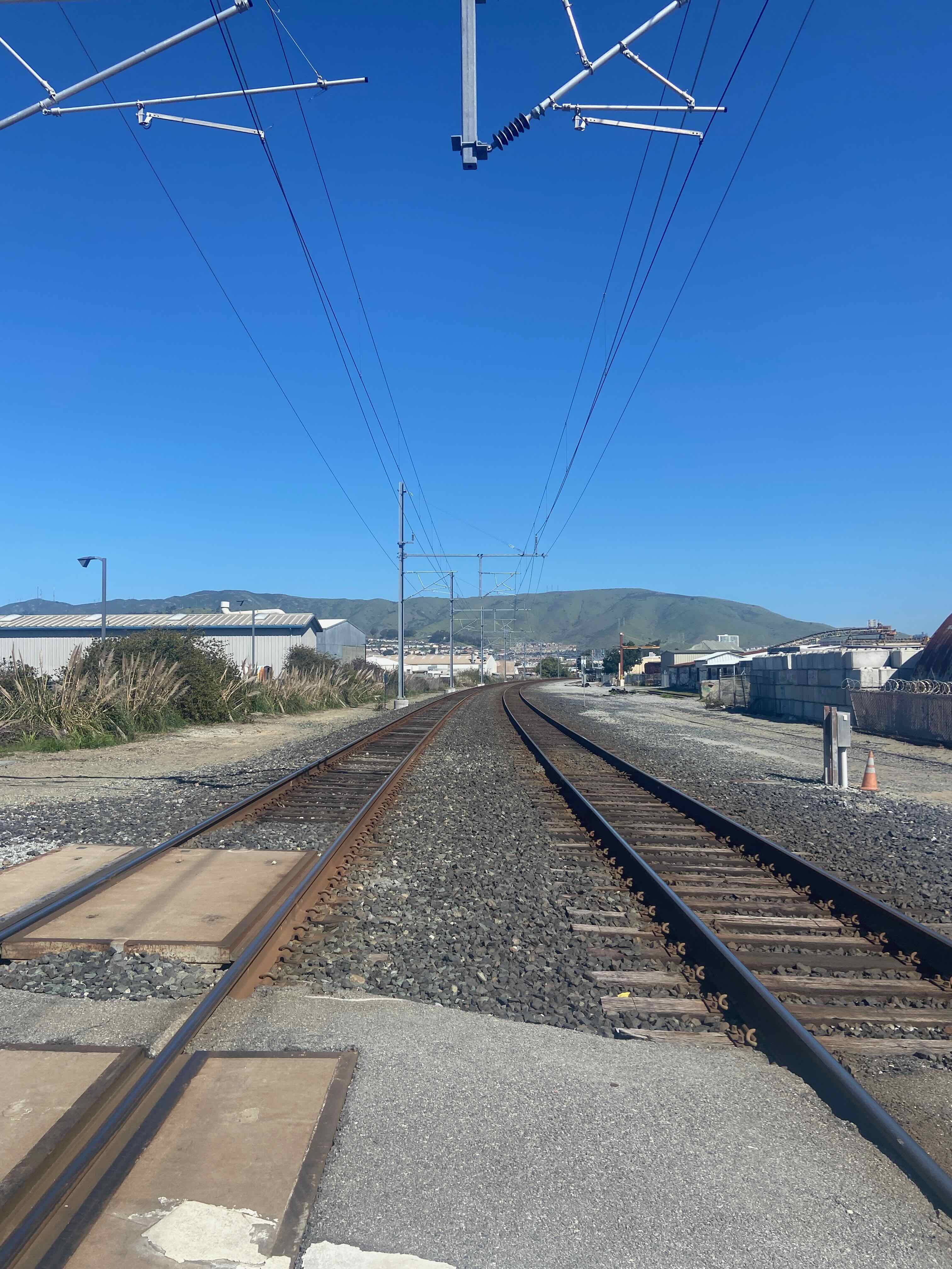
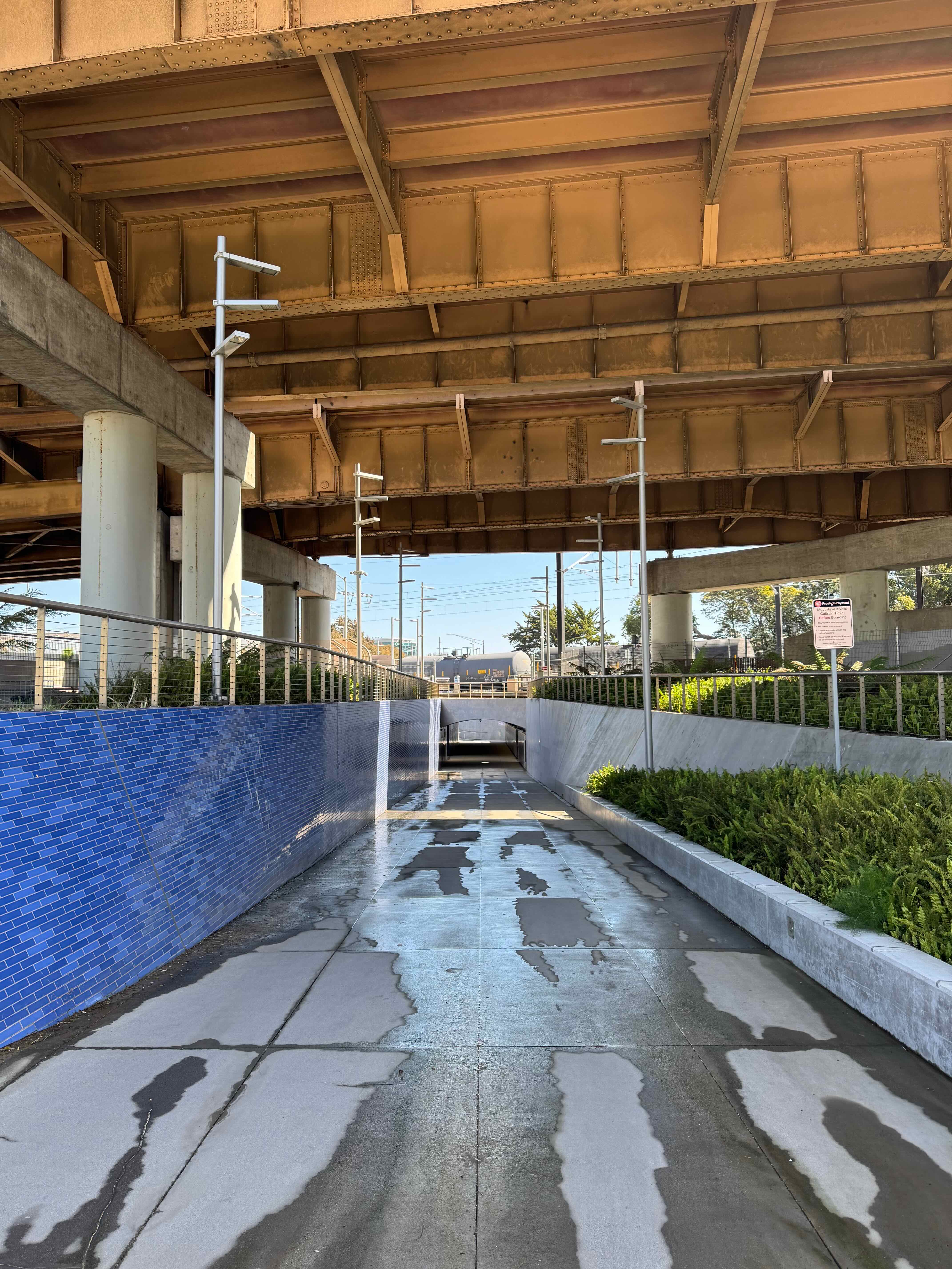
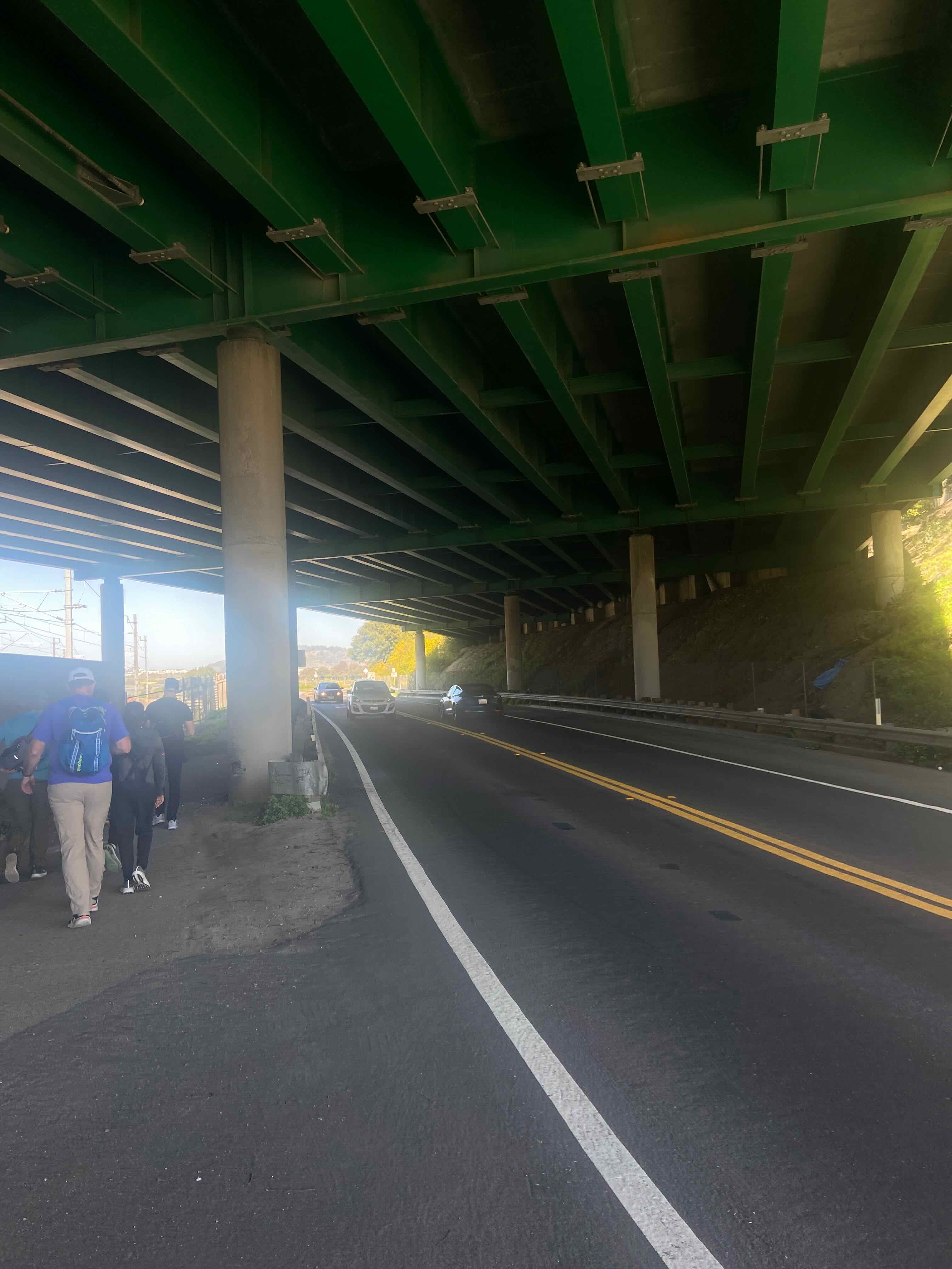
Immense highway infrastructure–which we zig-zagged over & under many times over the course of our 20 mile trek::
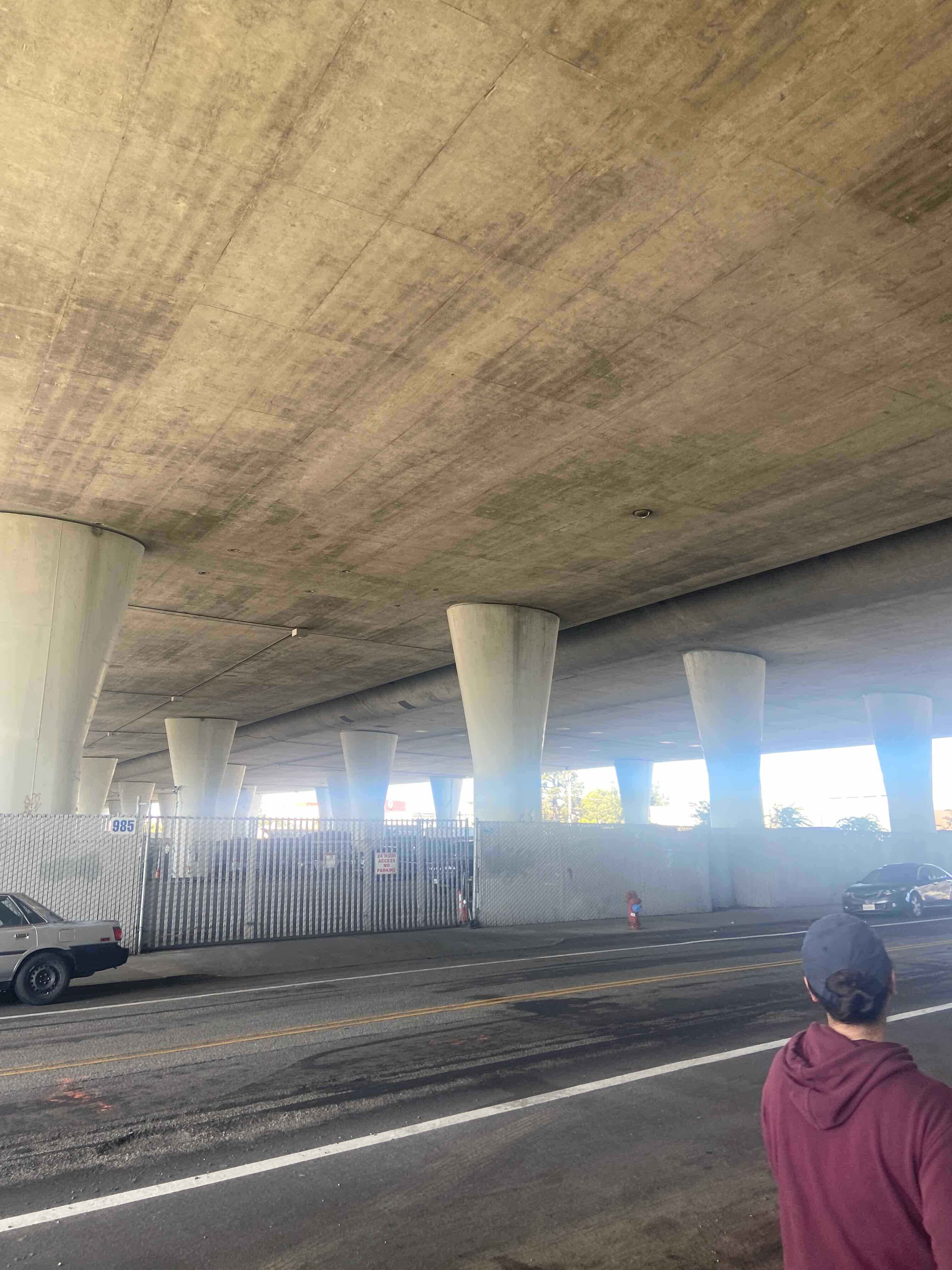
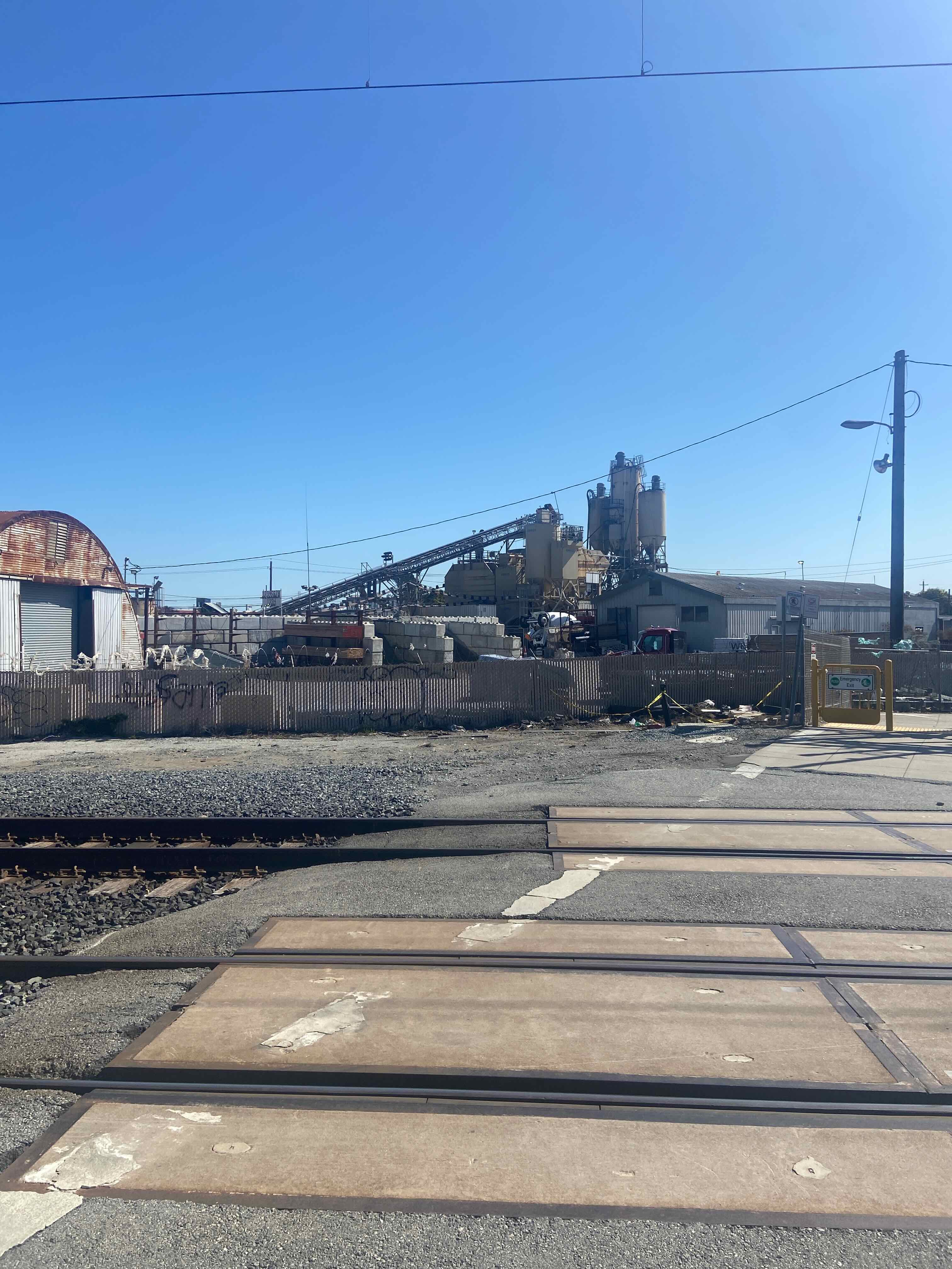
It is staggering how much concrete is used to build this infrastructure.
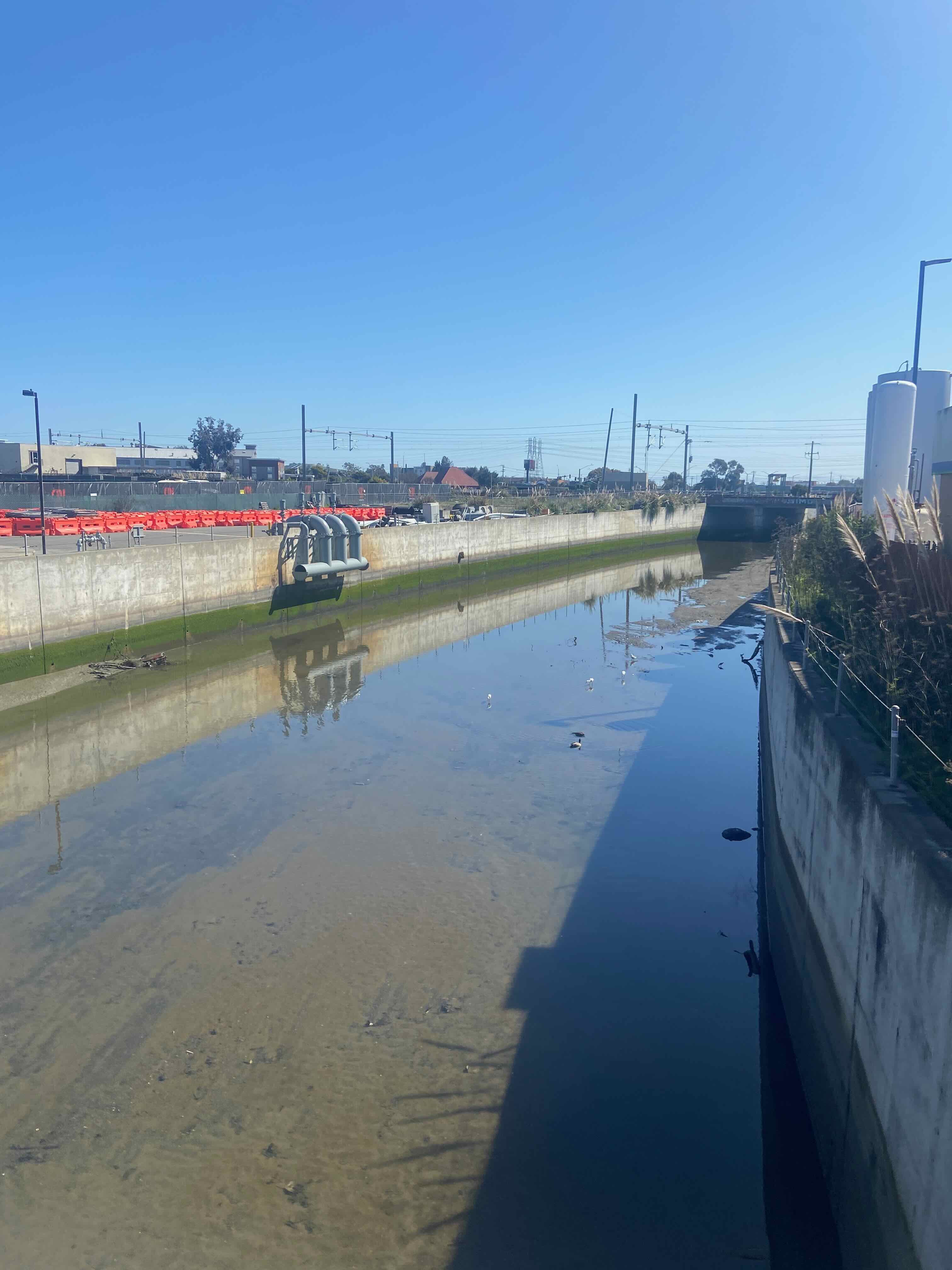
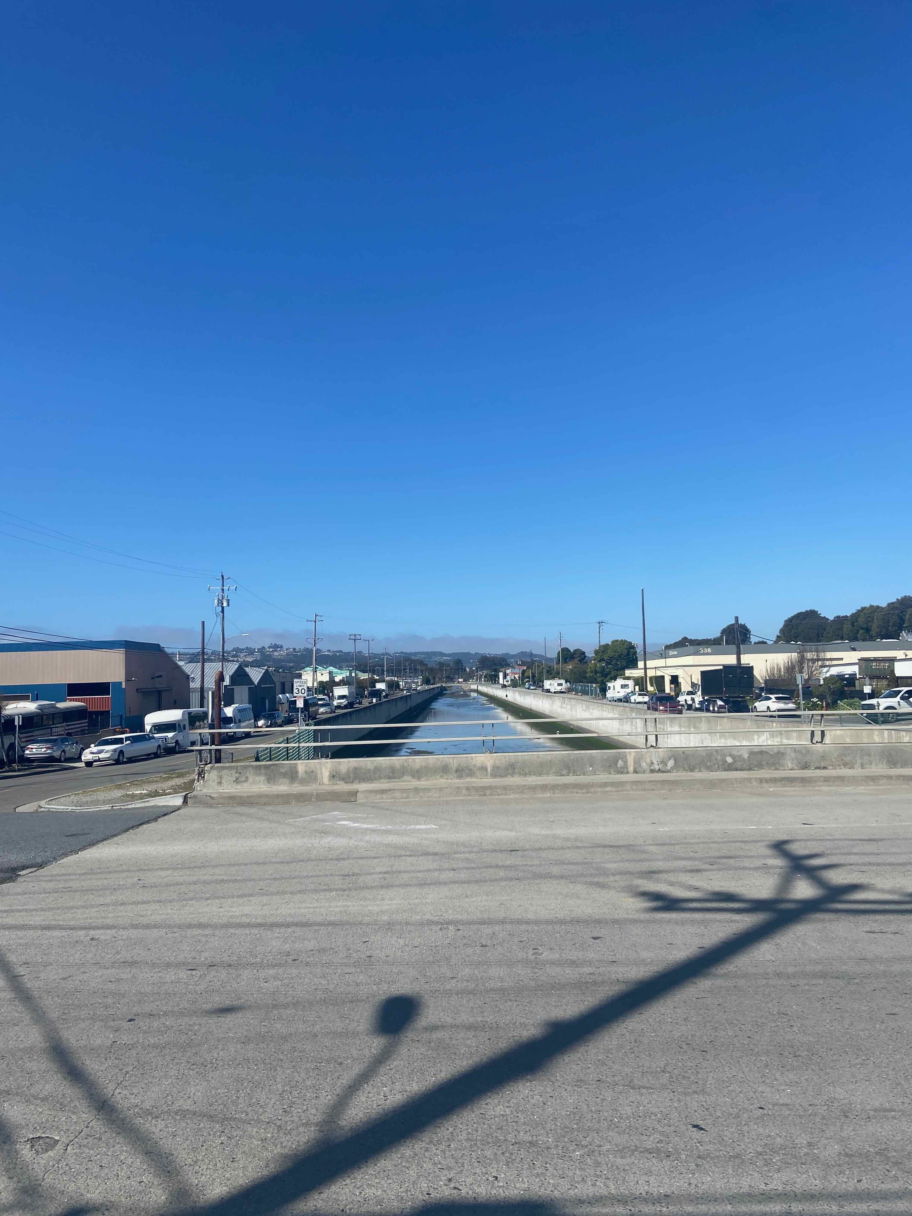
Same things go for waterways–why so much concrete?
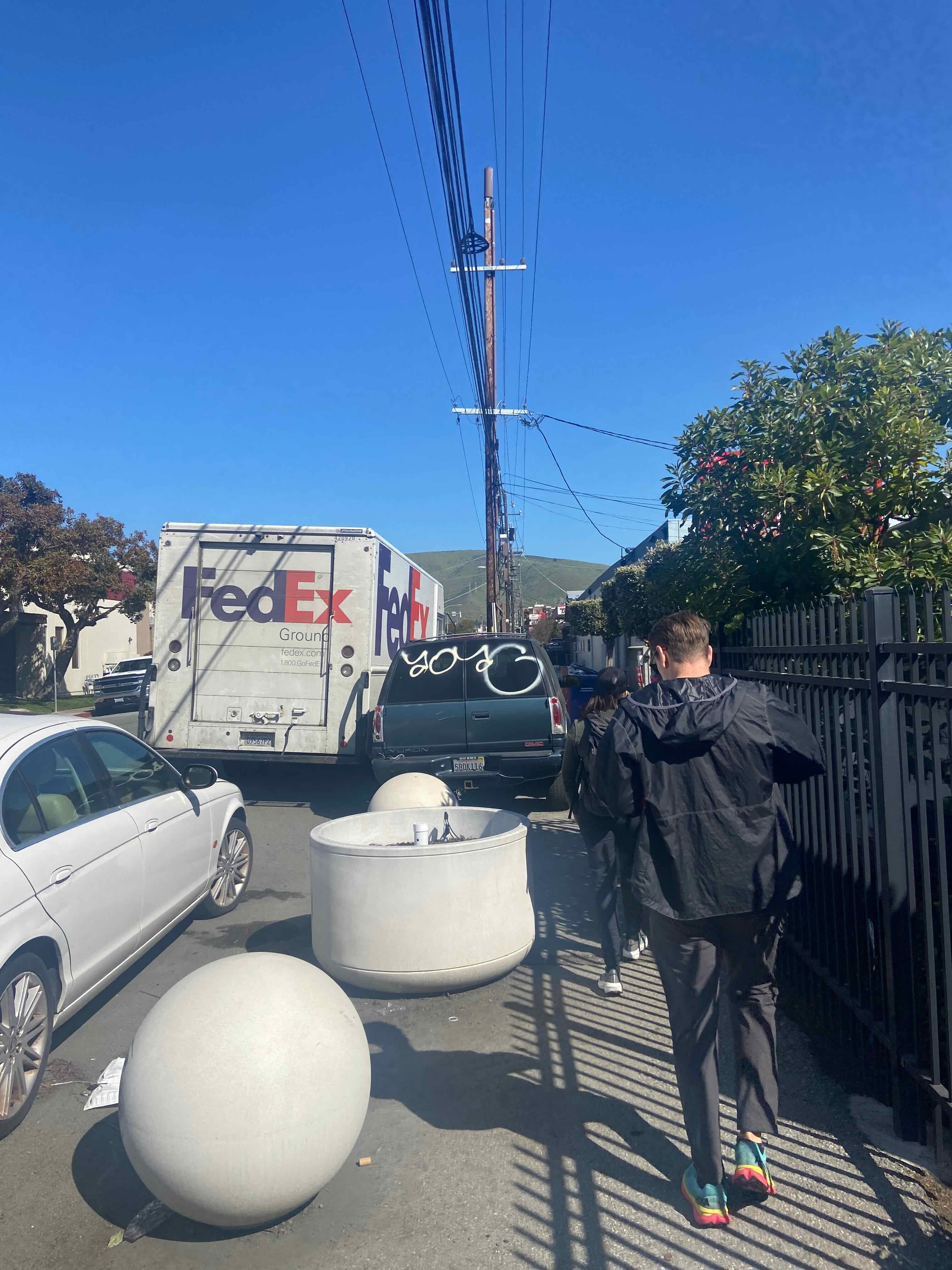
Cluttered sidewalks, not intended for walking:
Old & new land uses on a cul de sac:
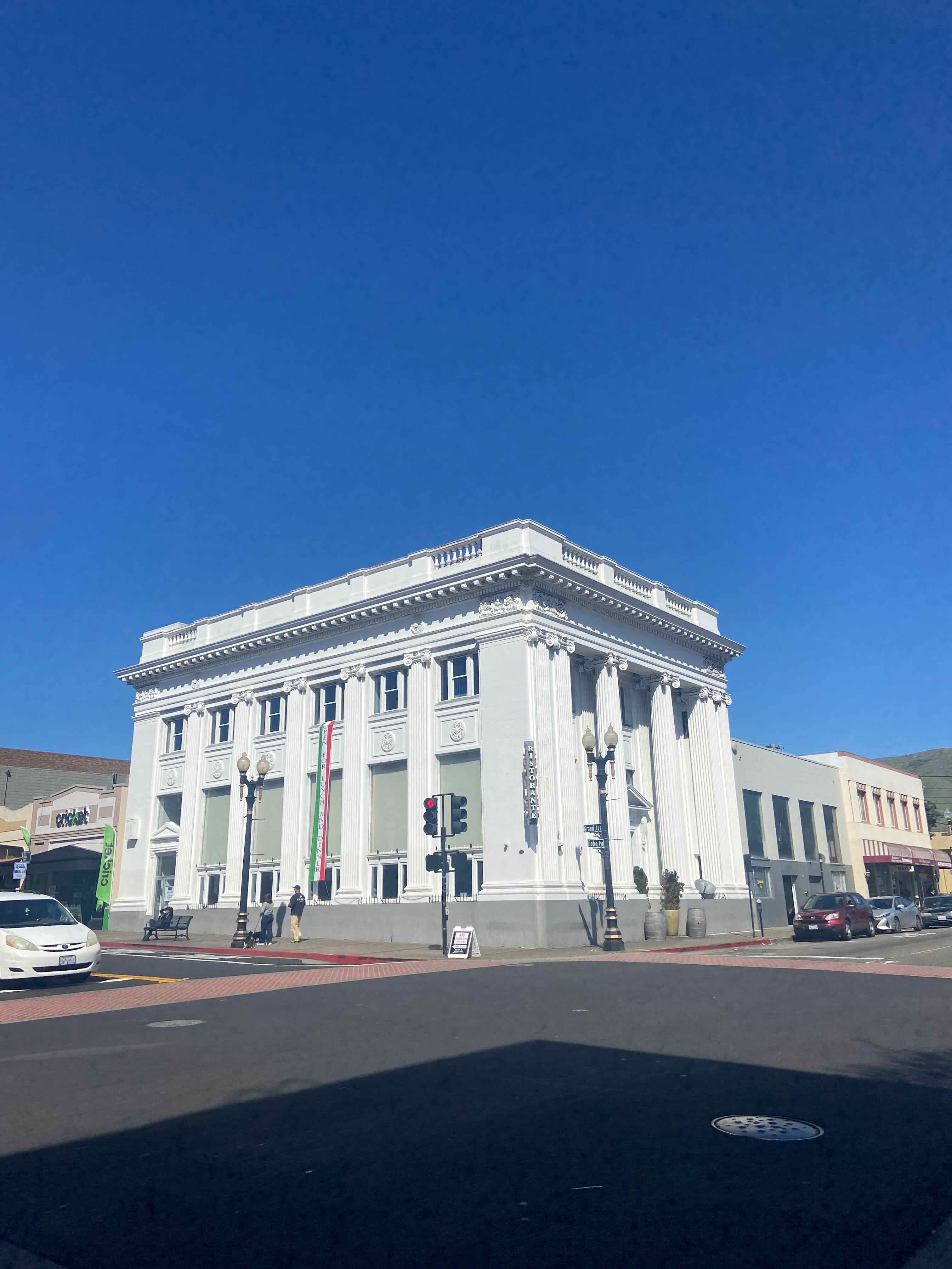
Downtown South San Francisco:
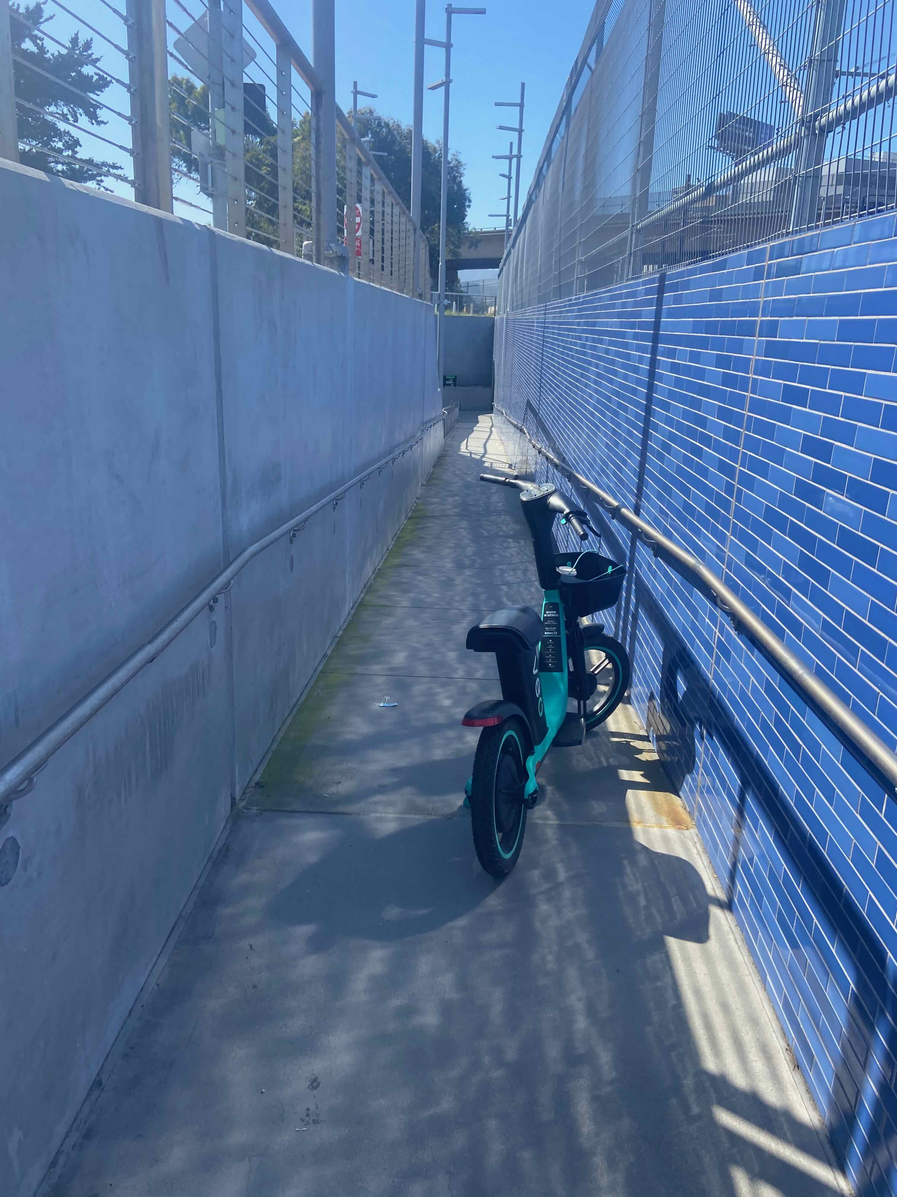
Through downtown SSF, we reached their Caltrain station and began our walk through Oyster Point neighborhood:
The ramp up and out of the station was blocked by a dockless, seated rental e-scooter:
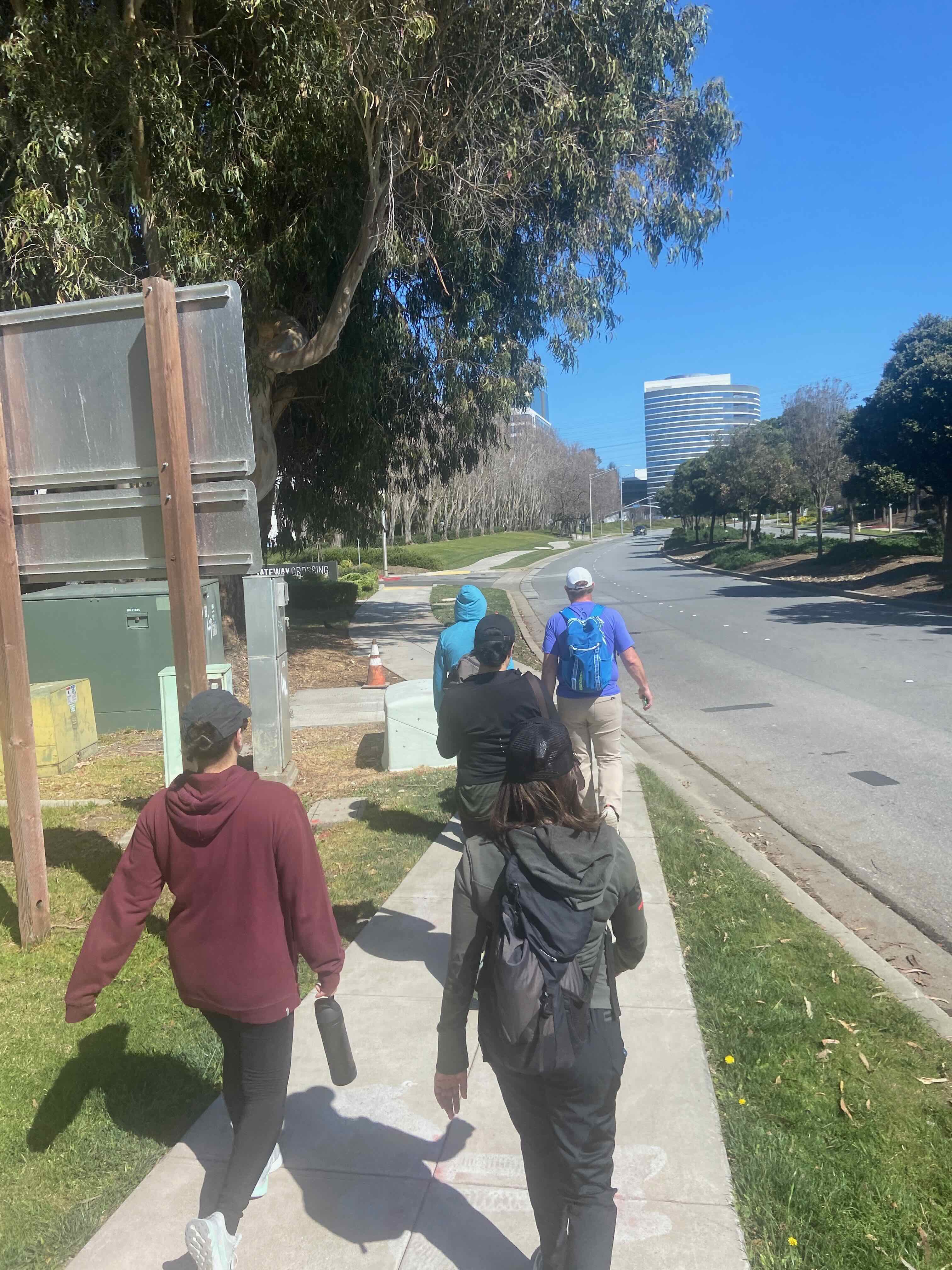
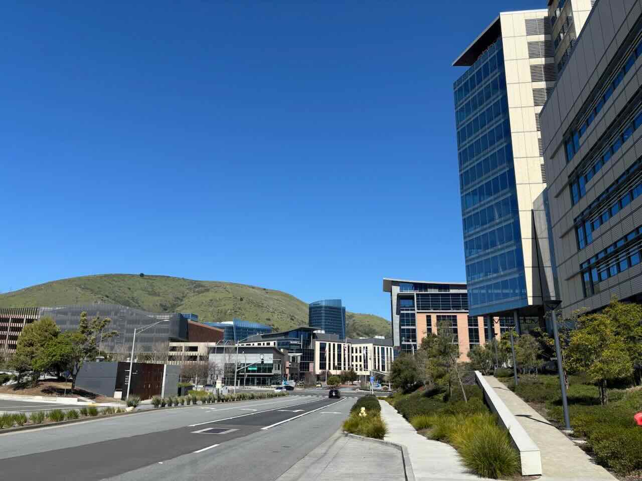
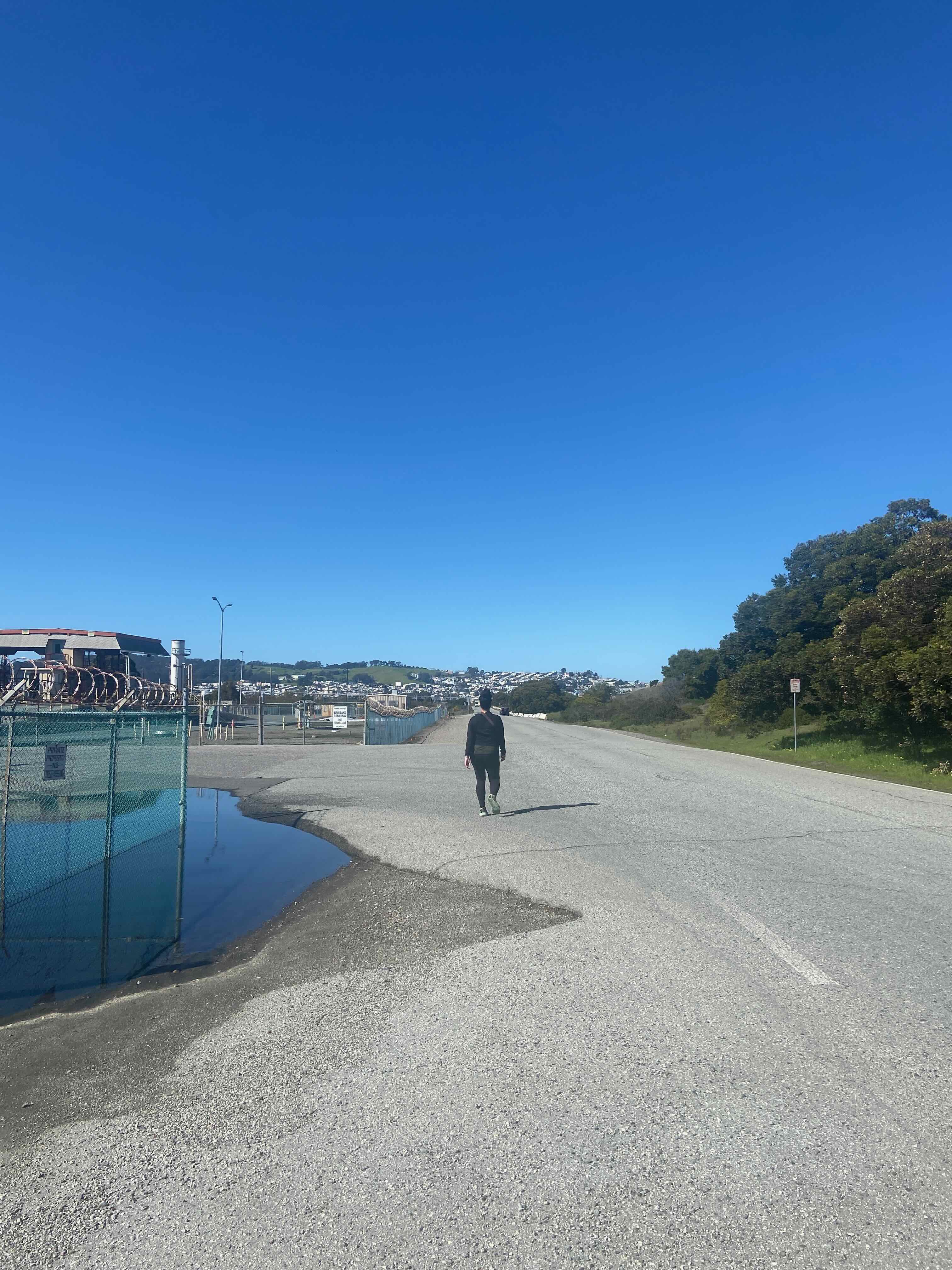
Oyster Point is an interesting, low-walkability neighborhood with huge corporate office buildings:
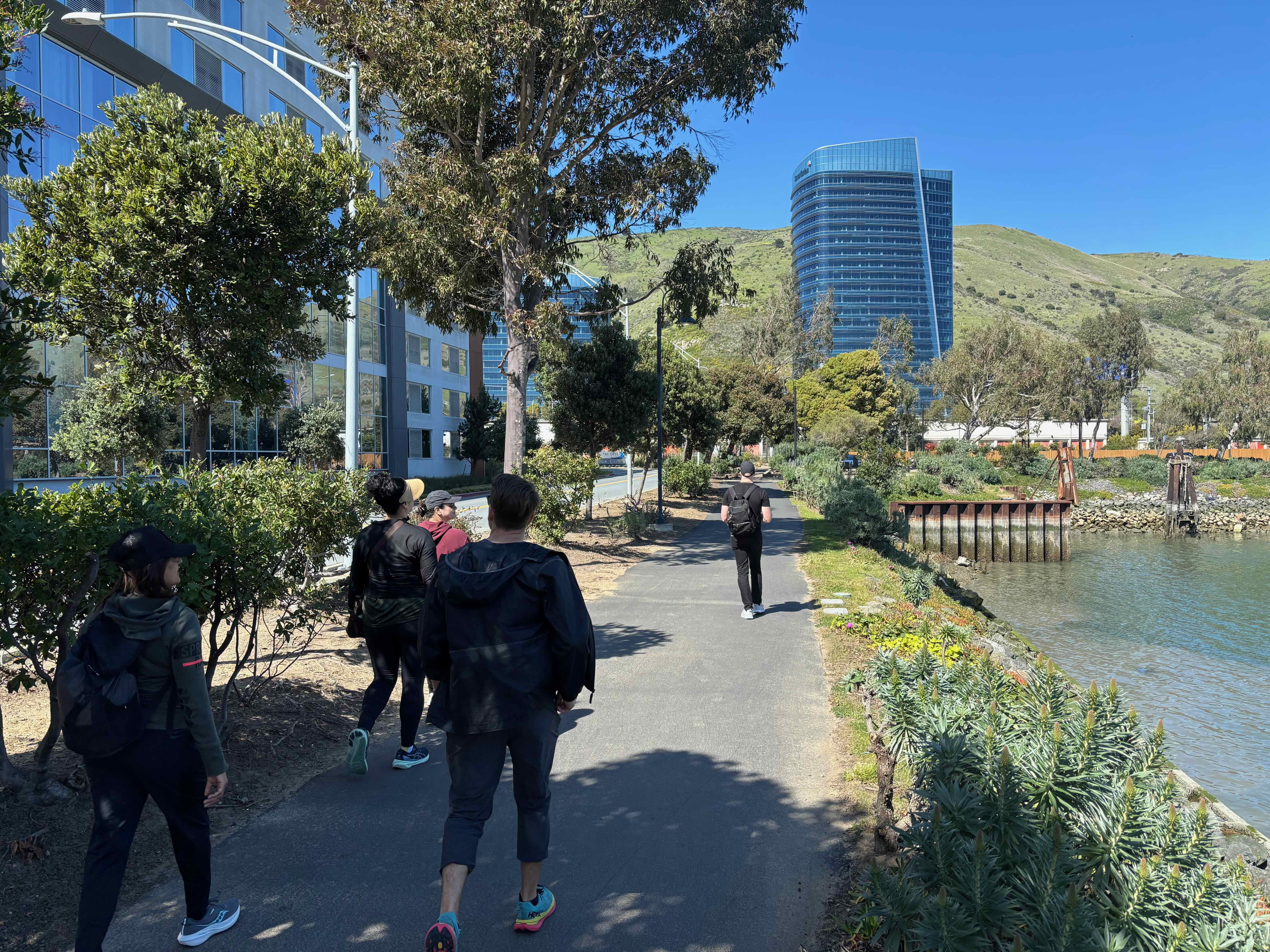
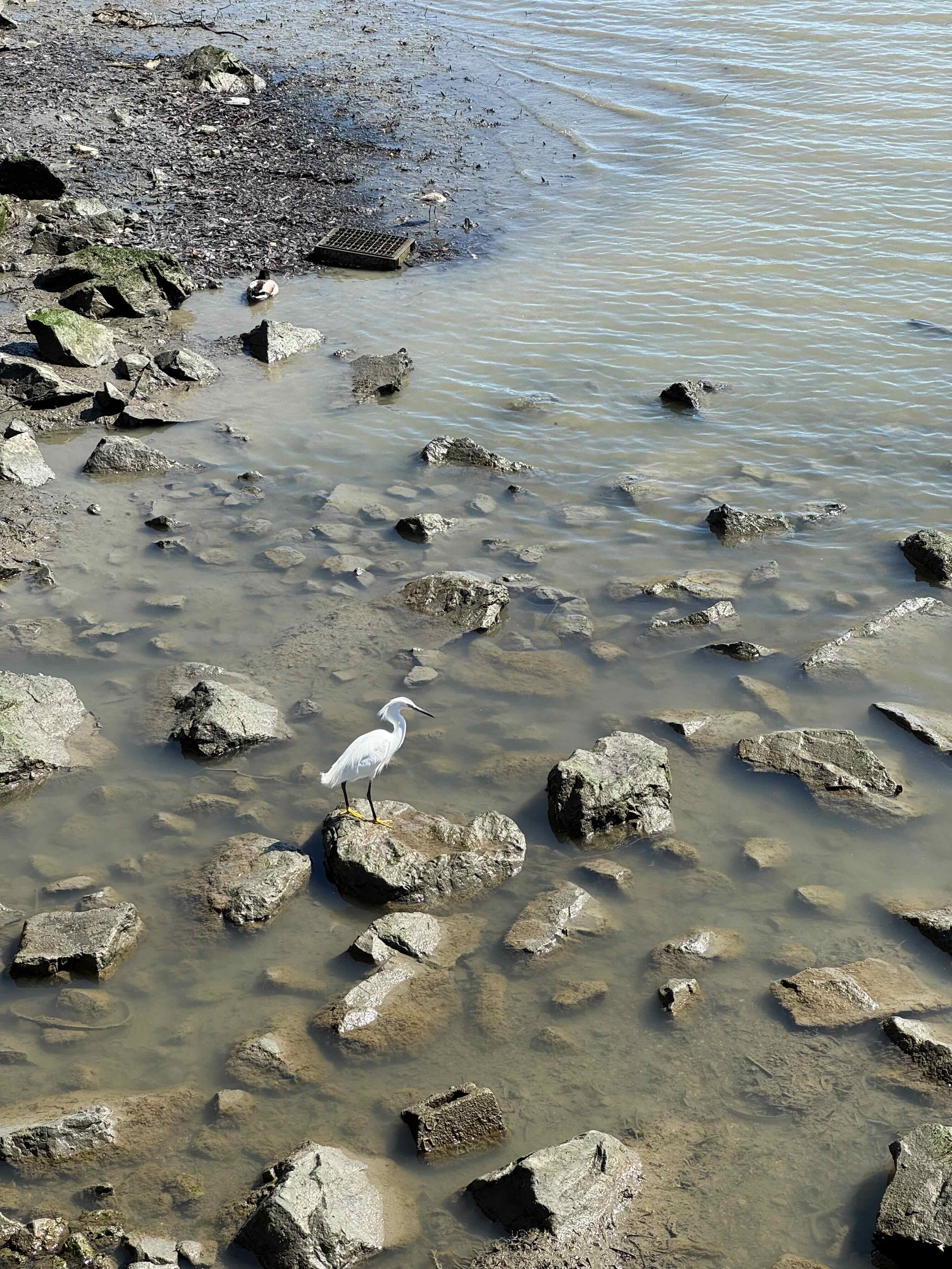
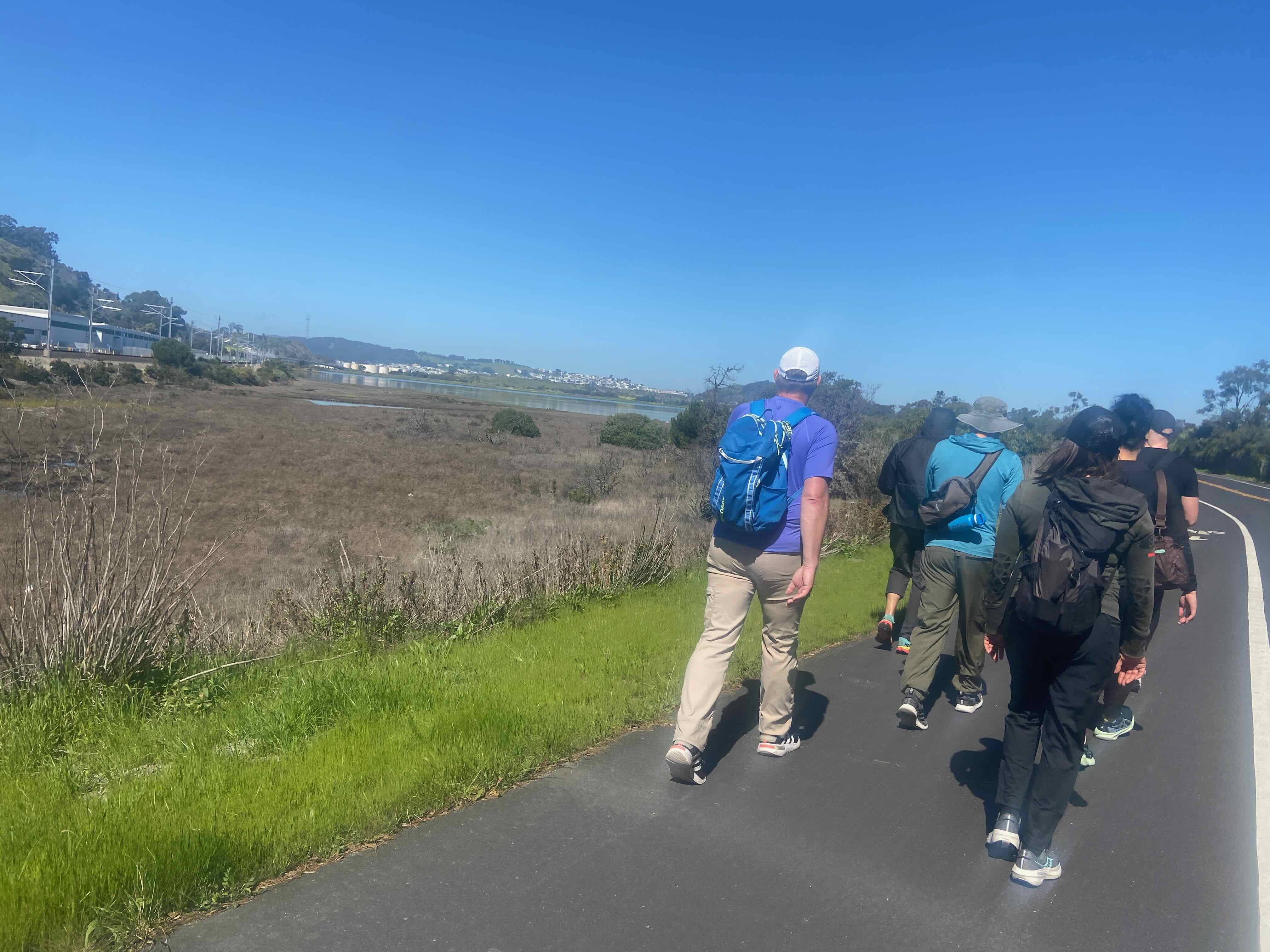
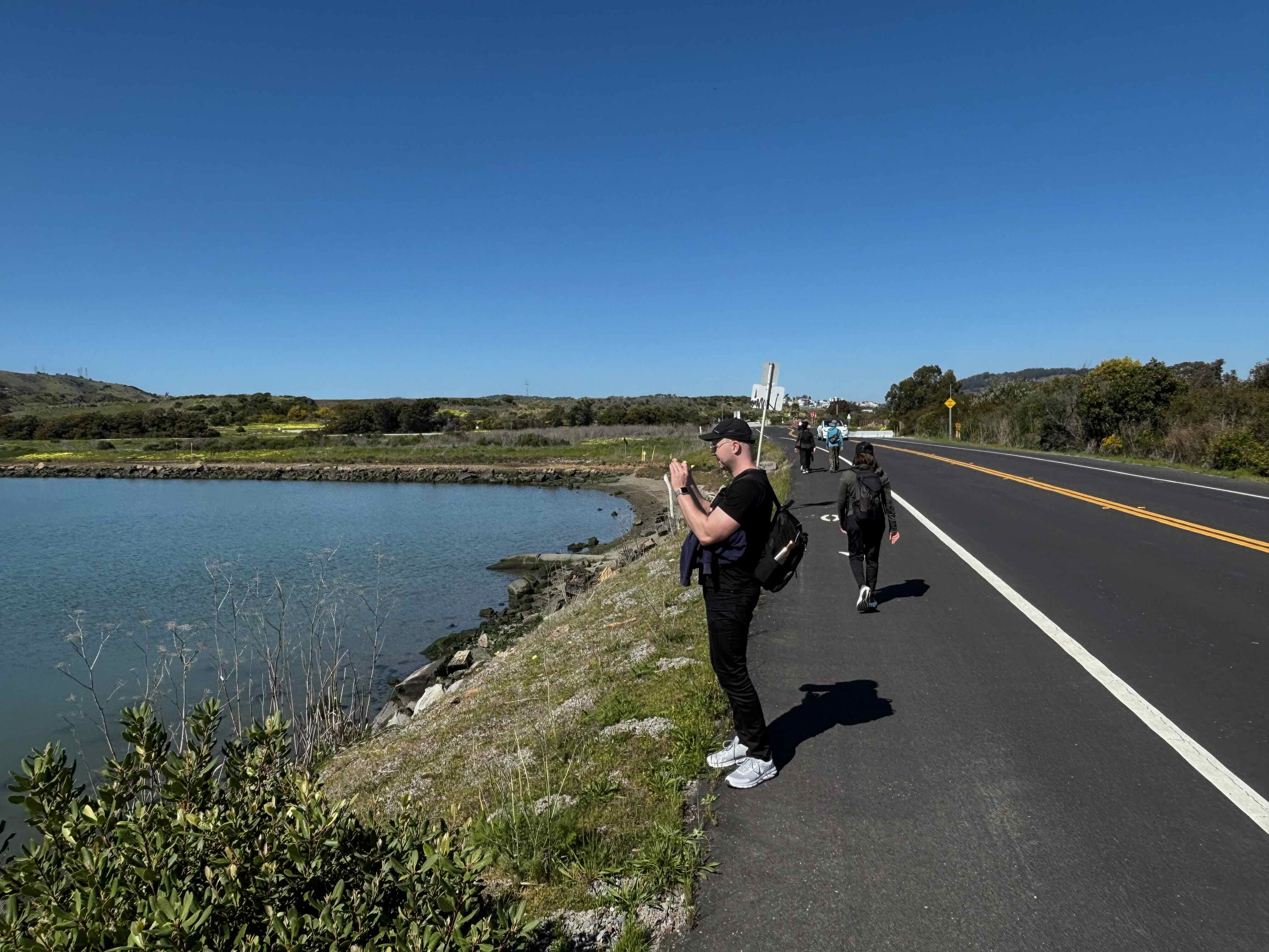
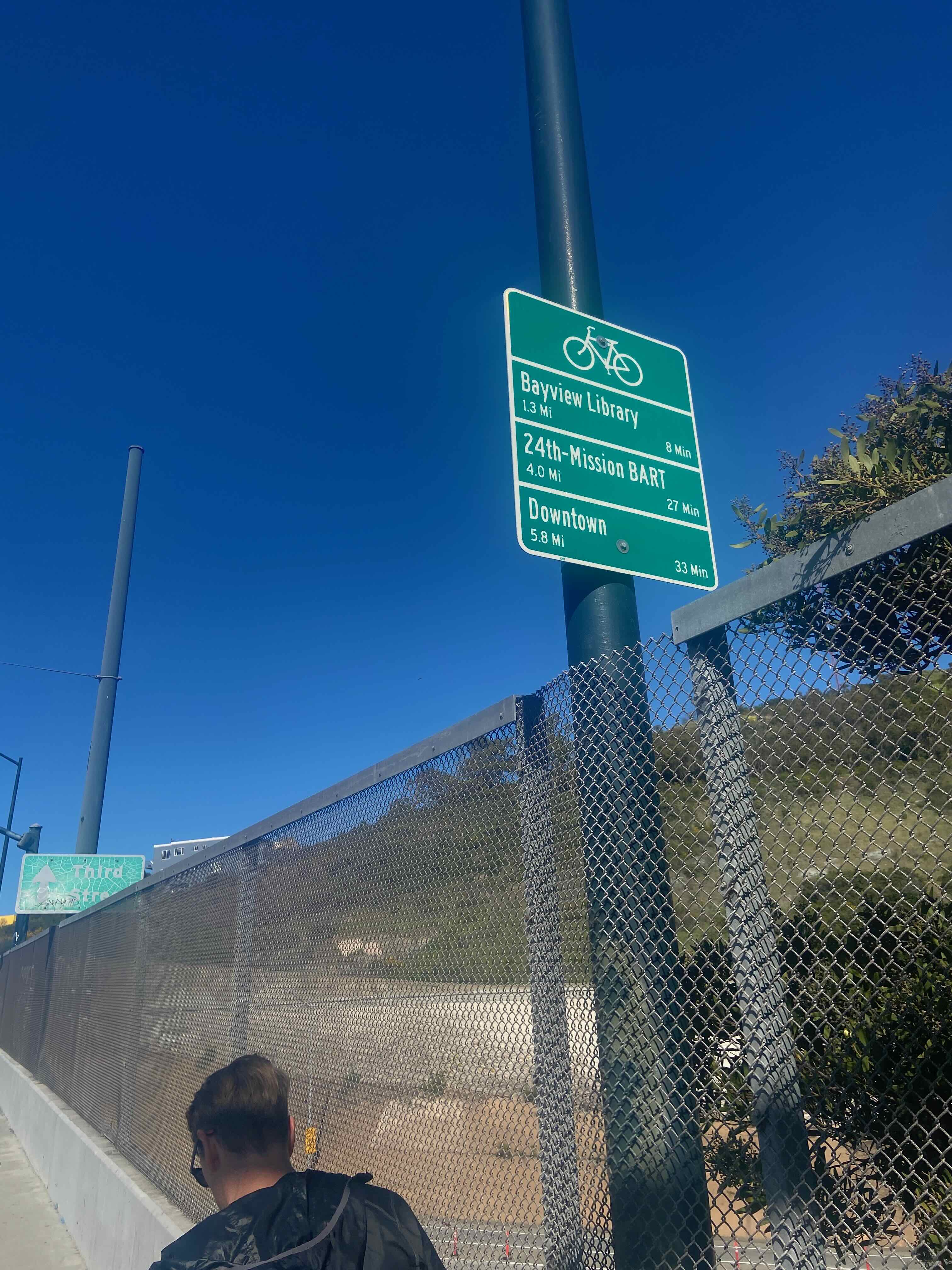
The San Francisco Bay Trail runs along the shoreline, for some nice contact with the waterfront and nature:
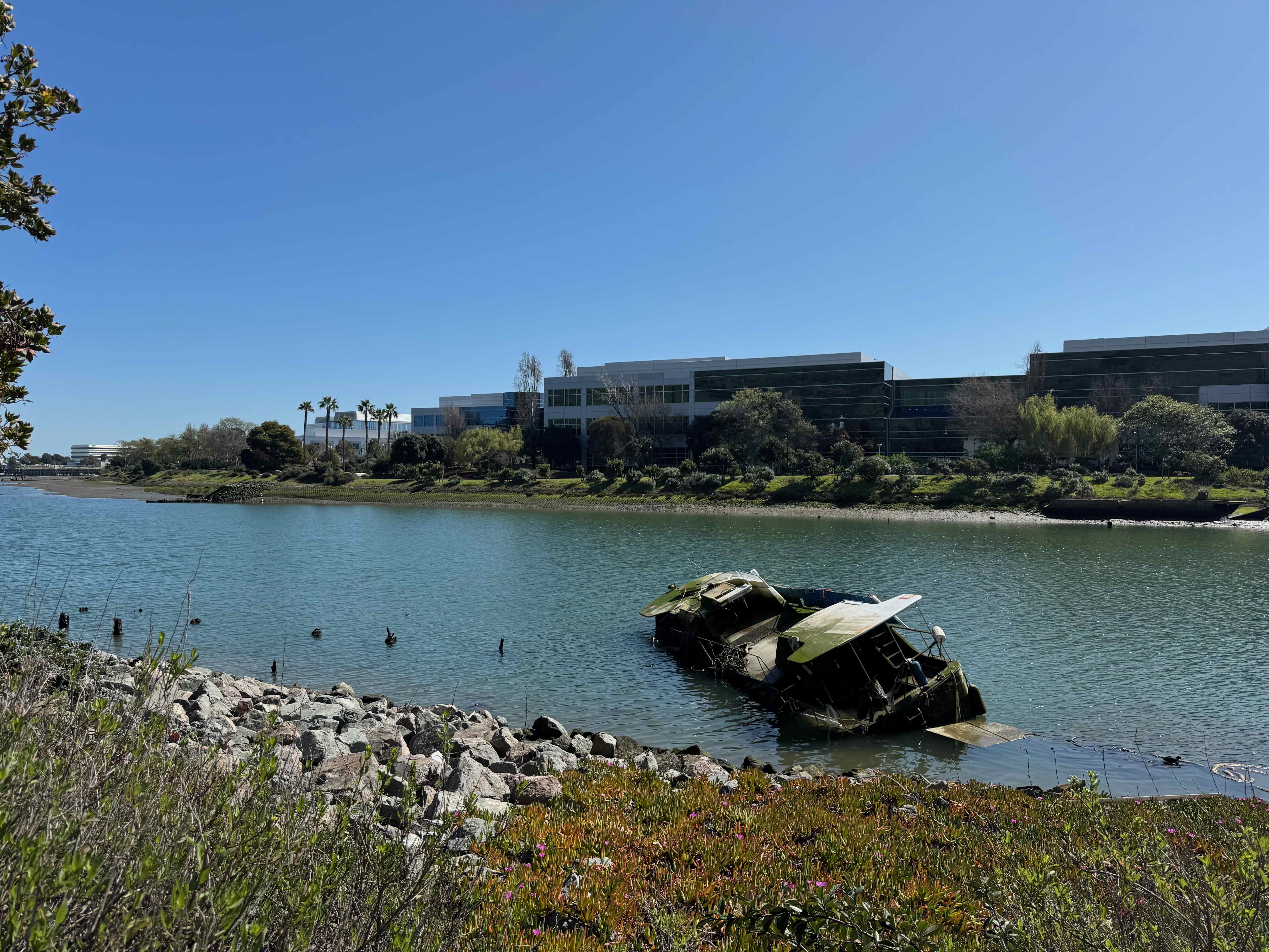
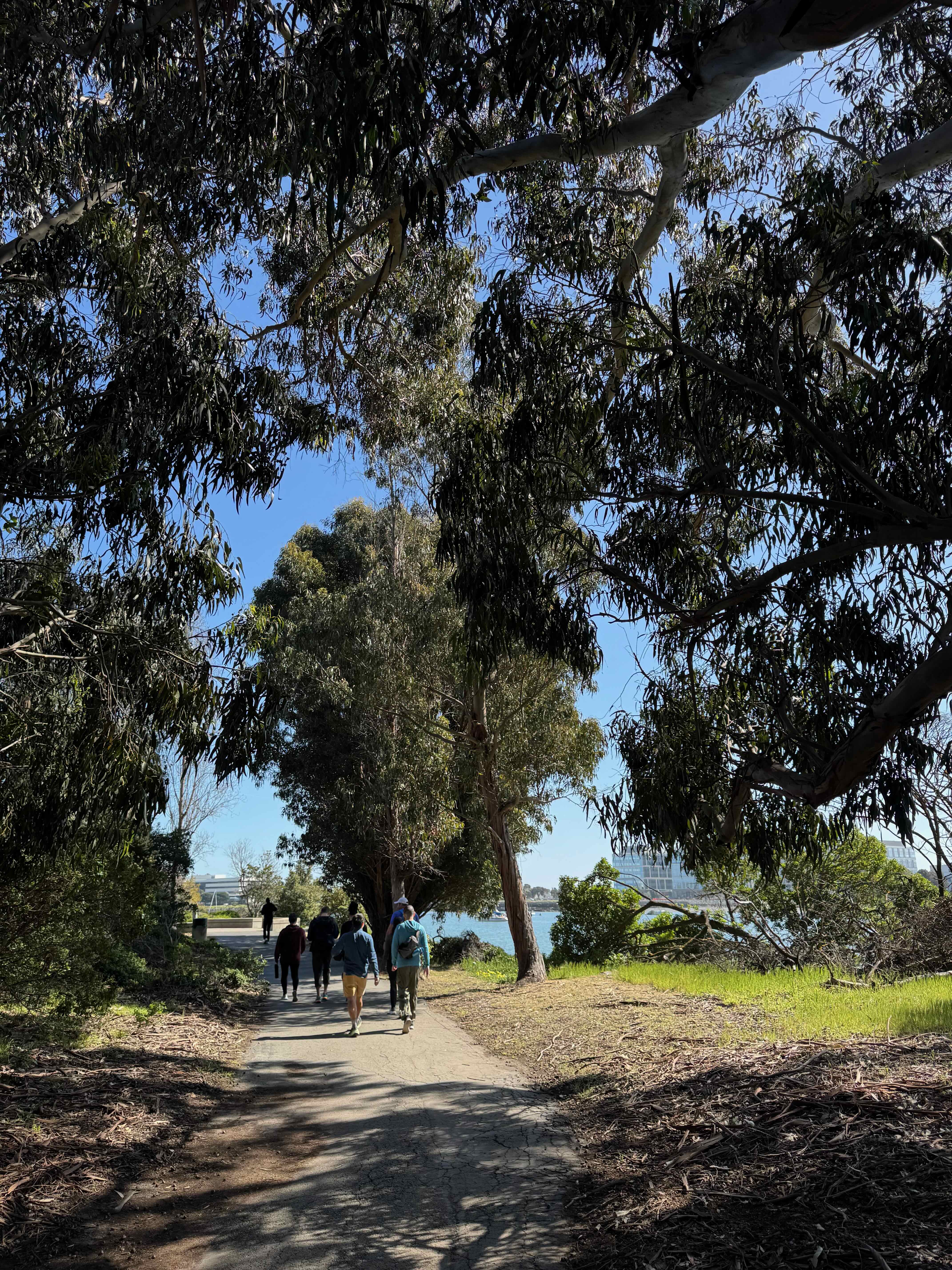
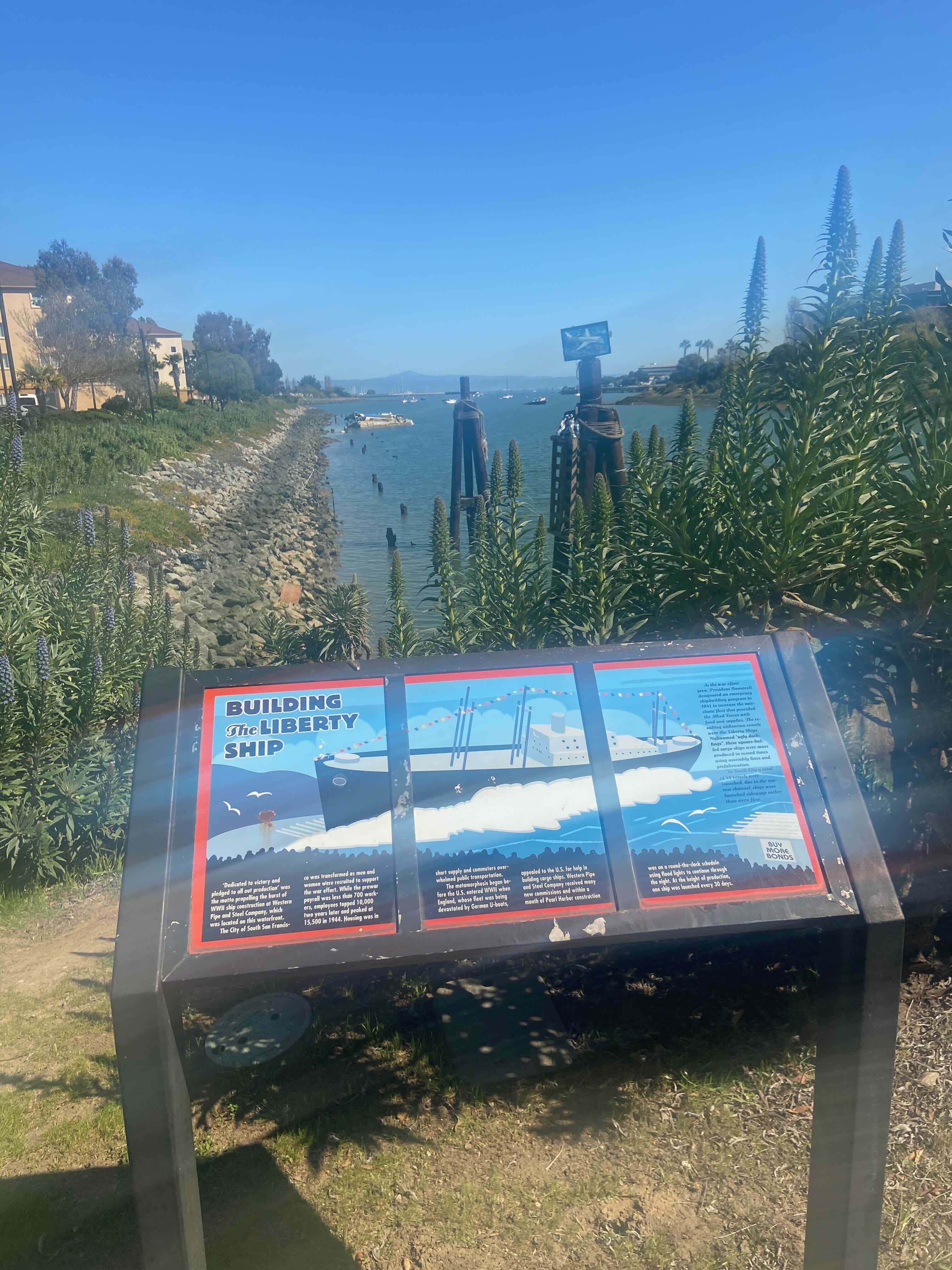
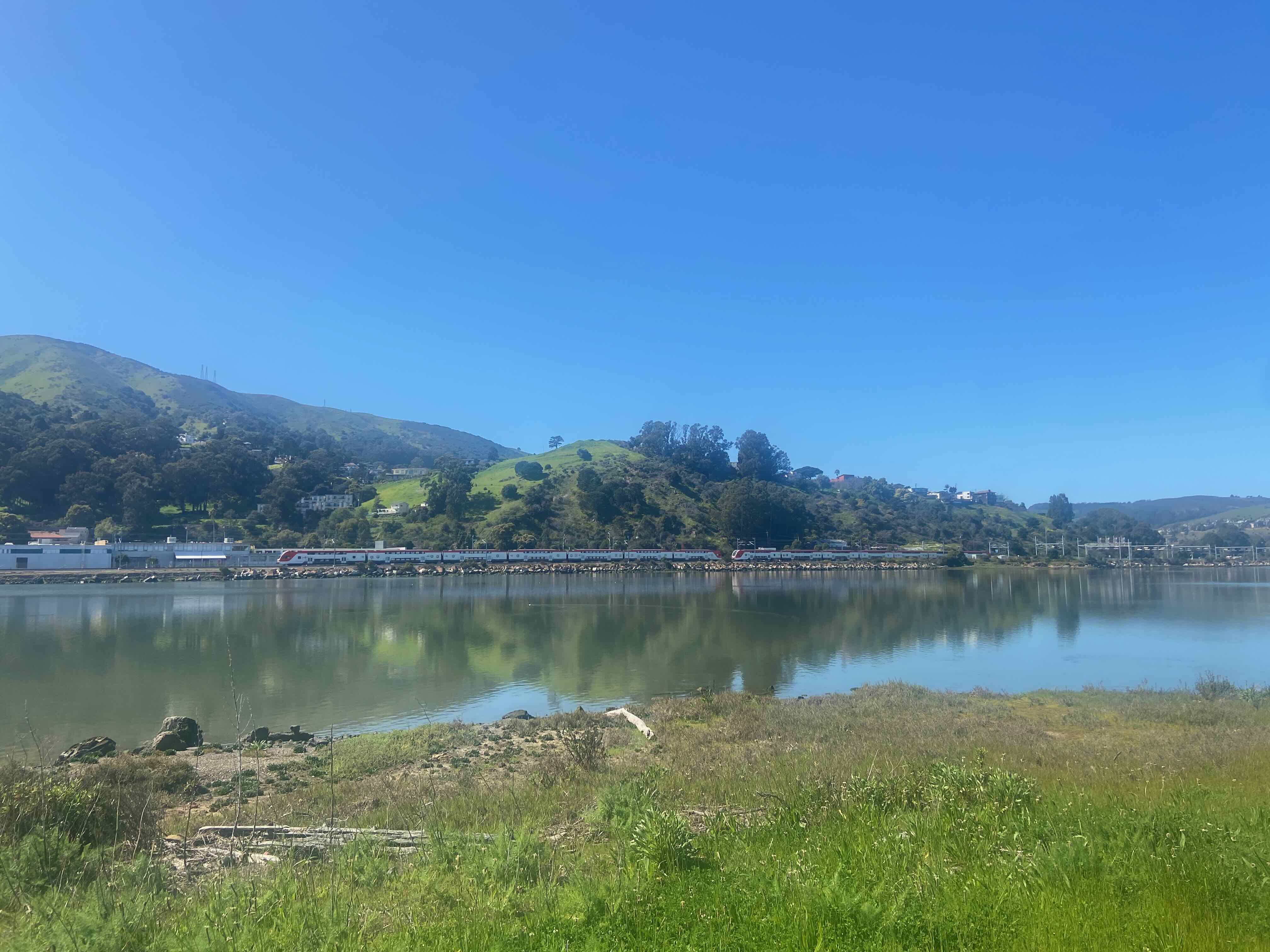
The mouth of the San Francisco bay was a historic boat-building industrial area:
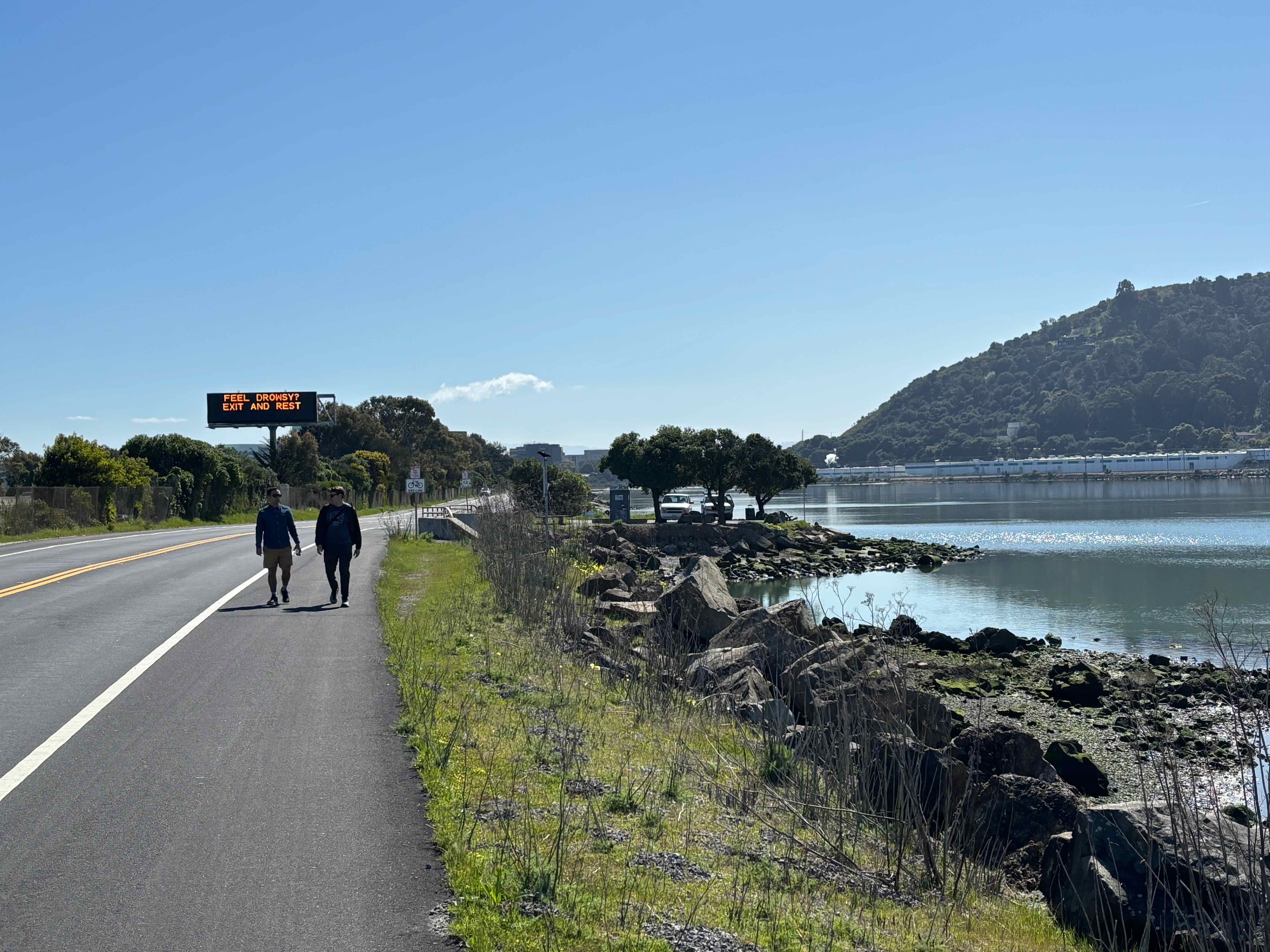
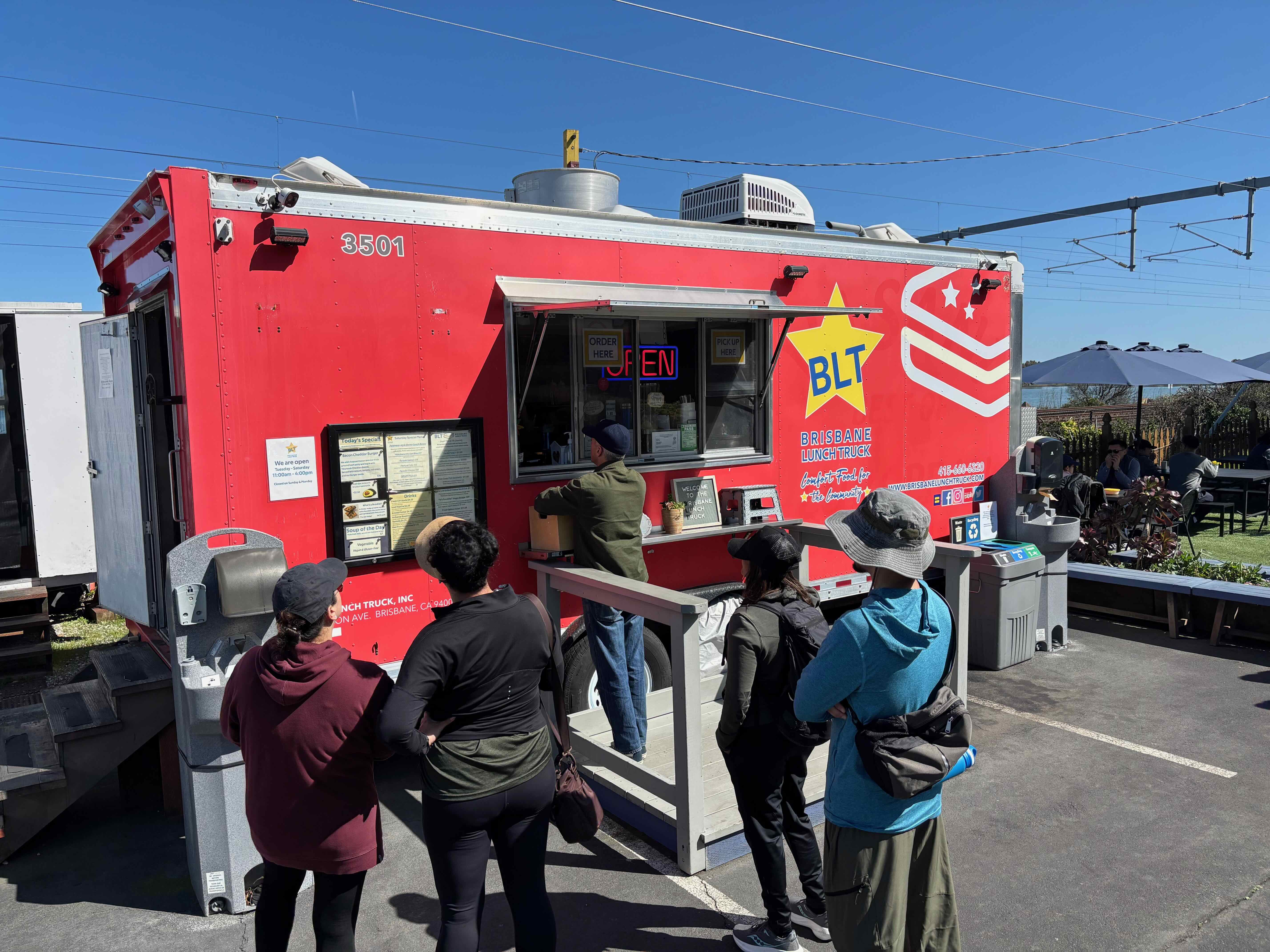
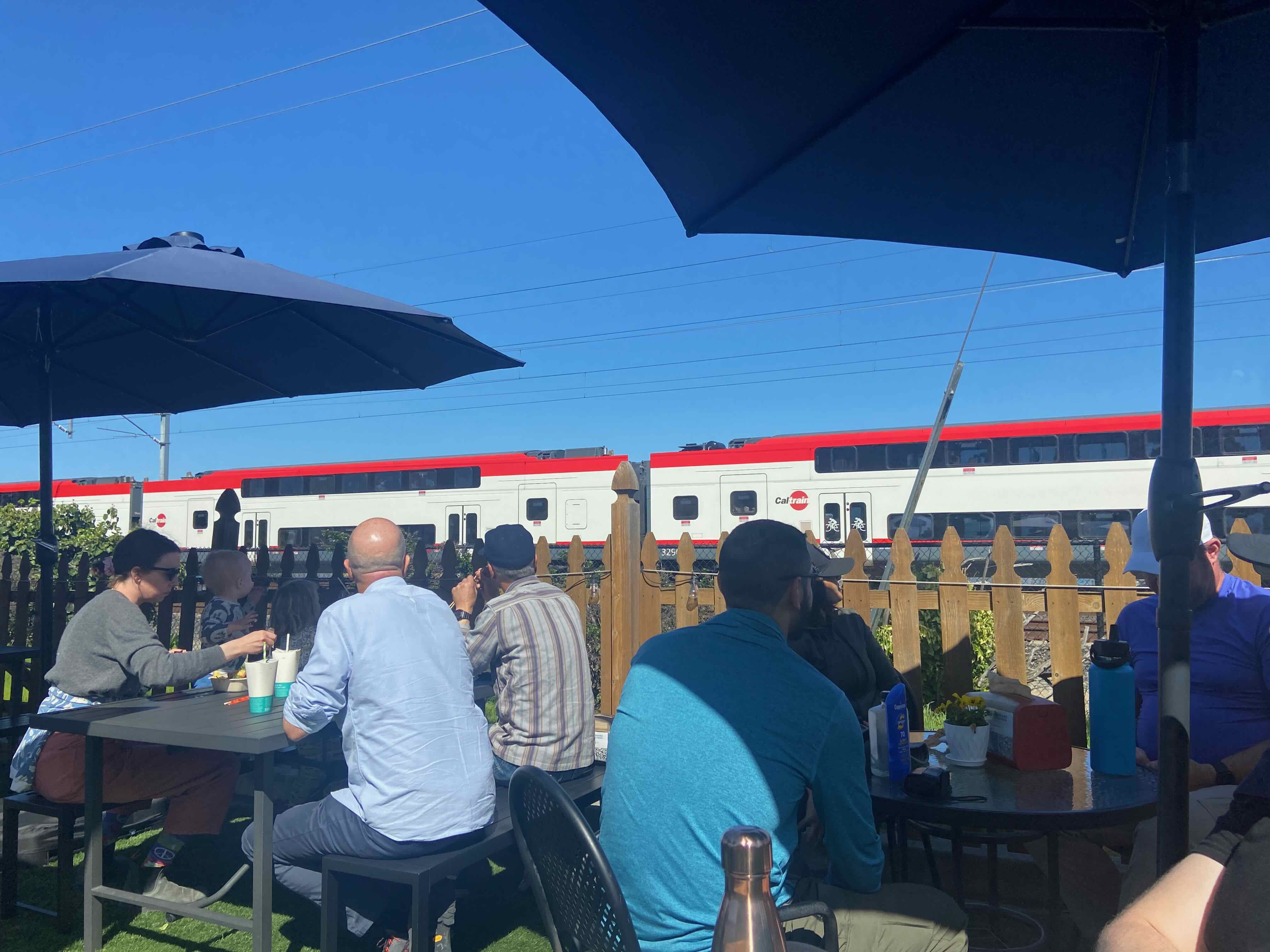
We walked along the shoulder of the Brisbane Lagoon, stopping for a long lunch at a food truck (too long?) and lost another paty member who hailed a rideshare ride home:
Lunch:
Continuing northwards from lunch, on a stretch of industrial road south of Bayshore Caltrain station:
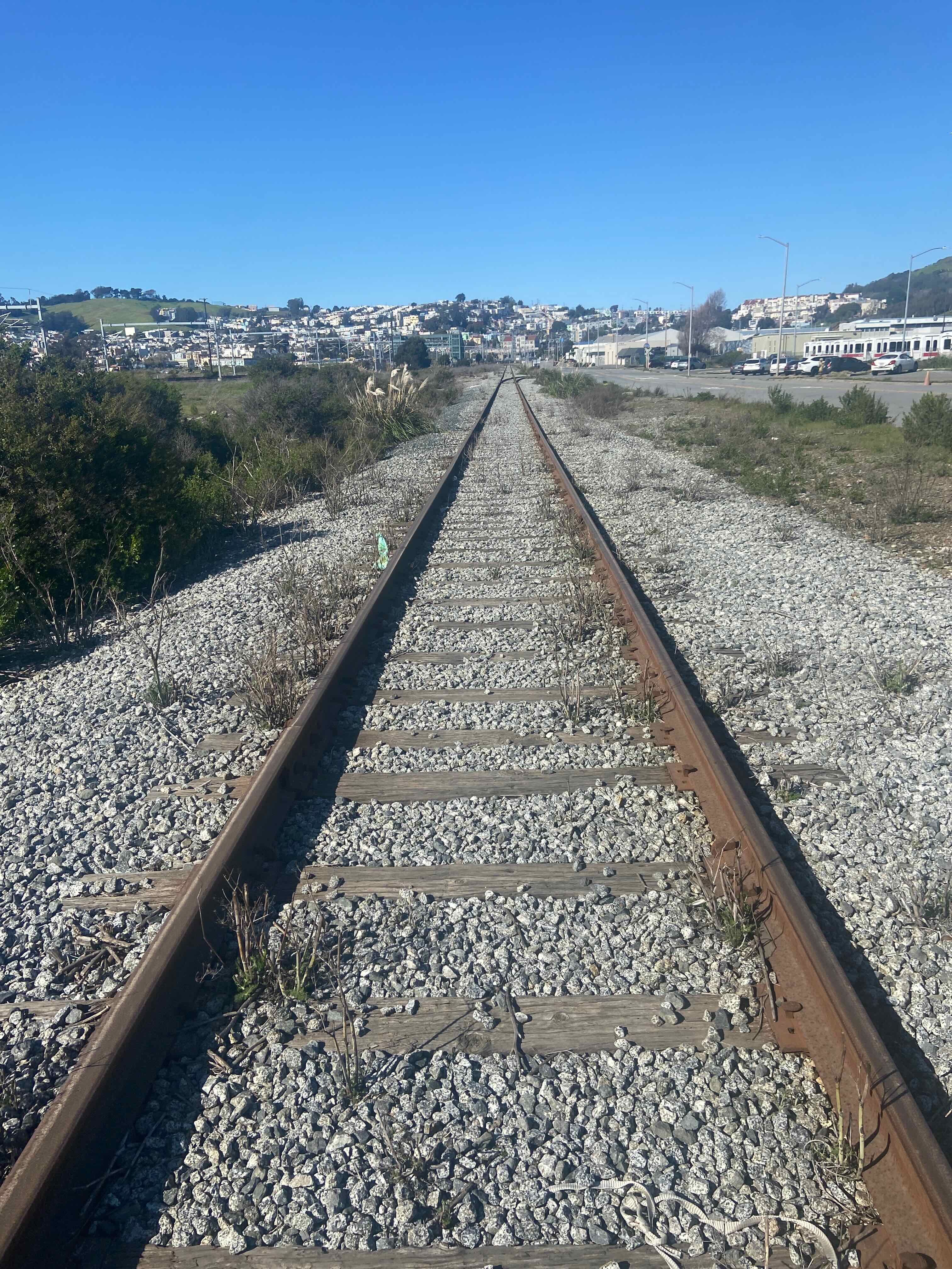
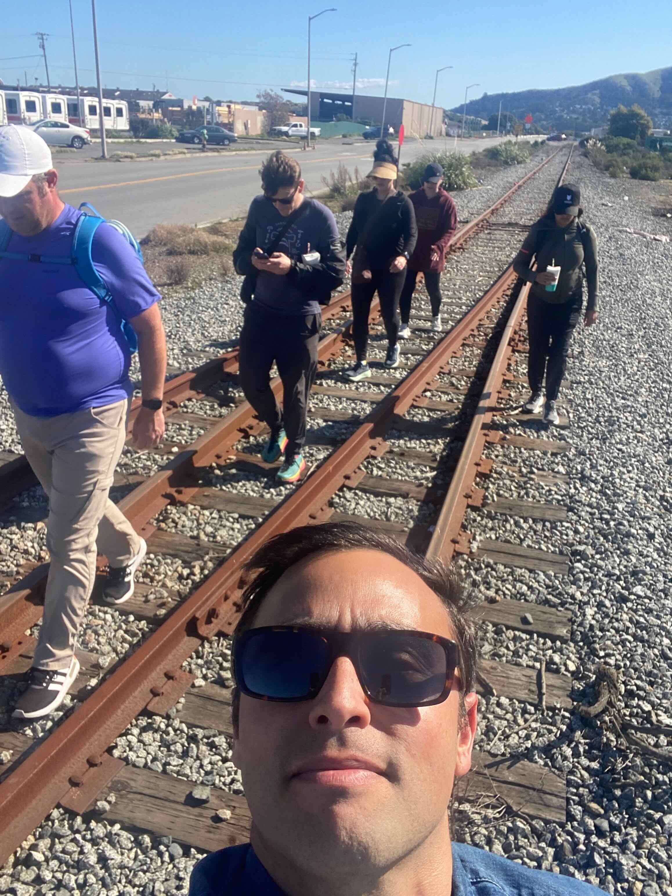
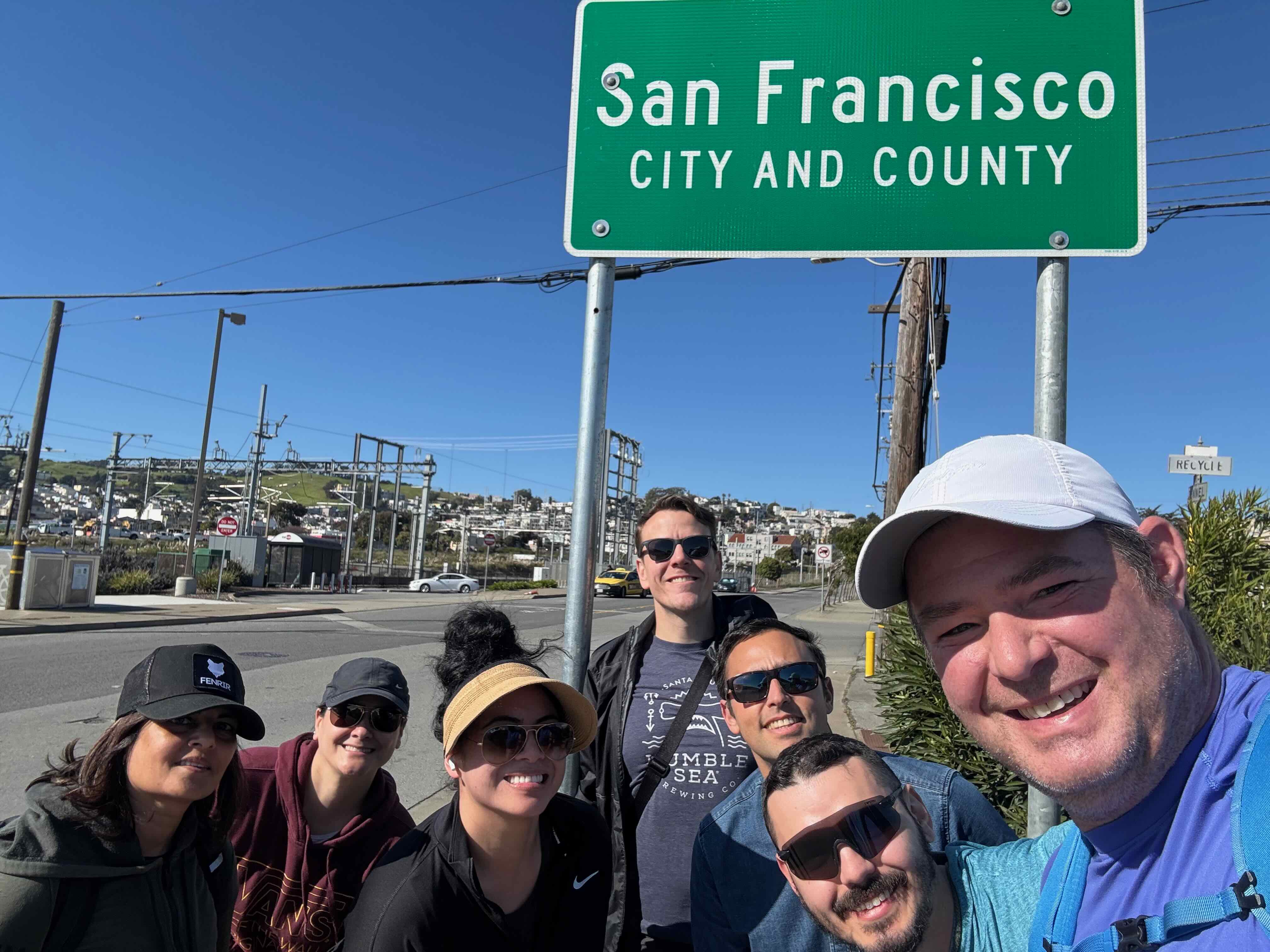
We reached the southern border of San Francisco, close to the Bayshore Caltrain station:
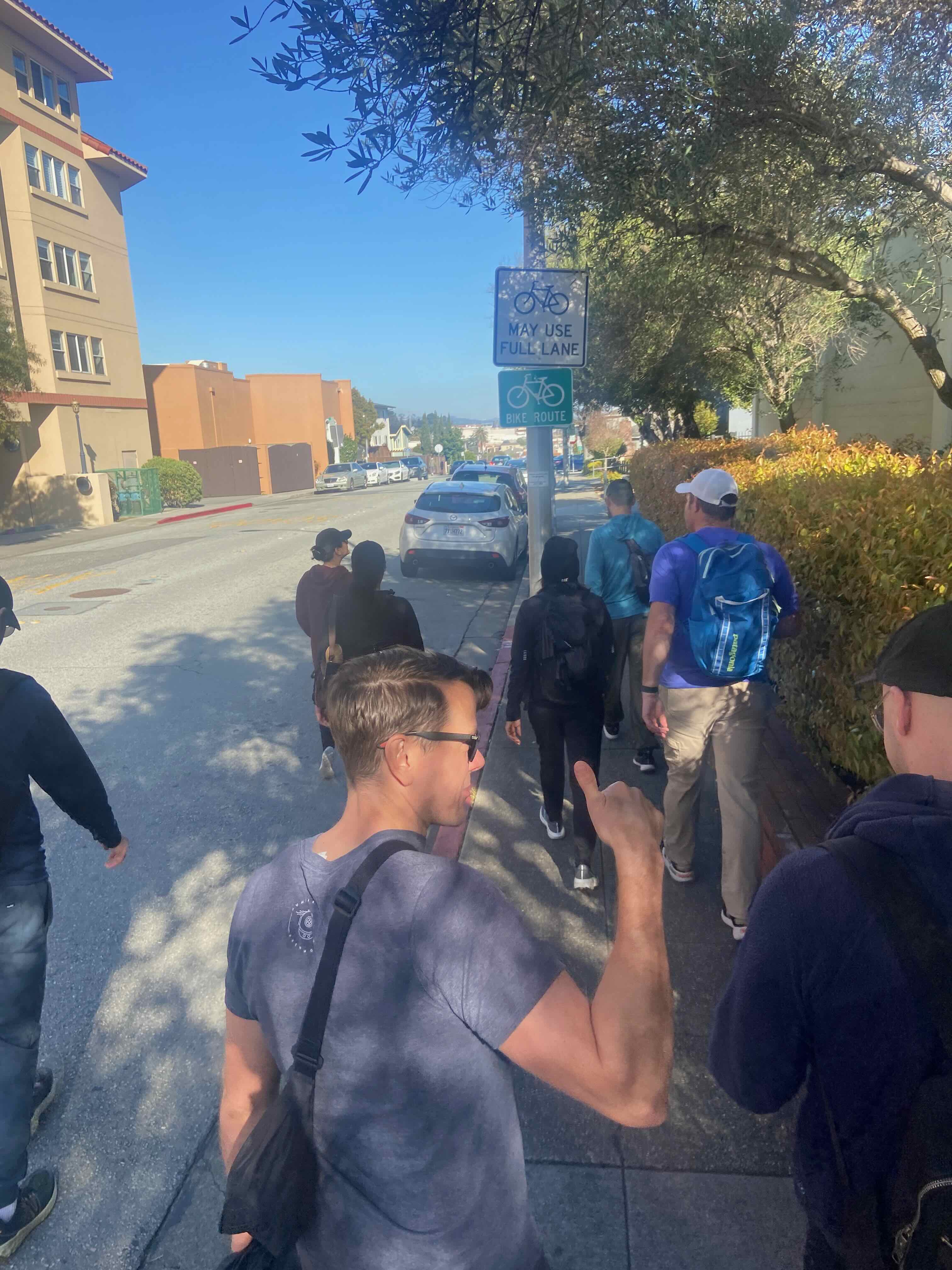
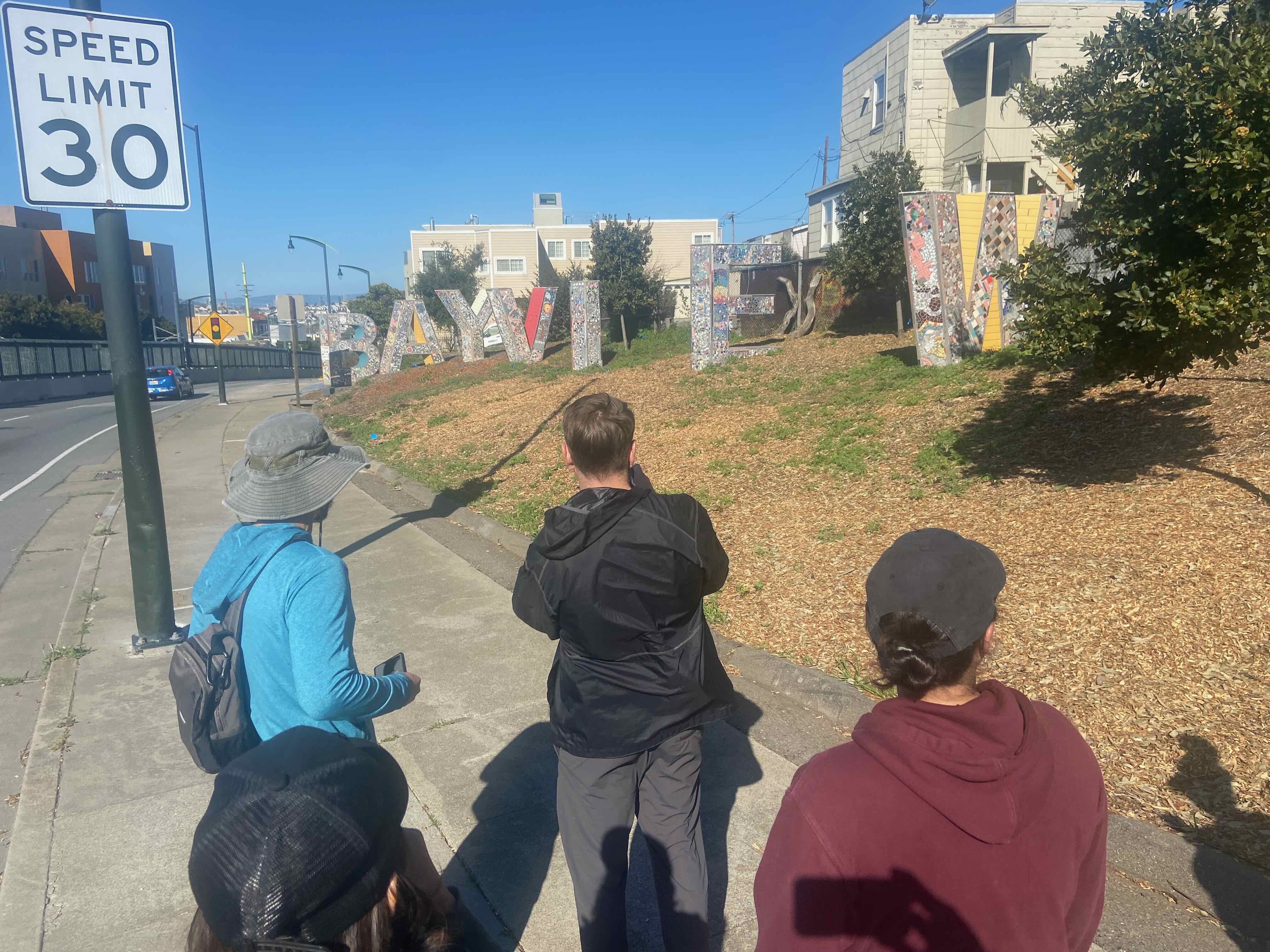
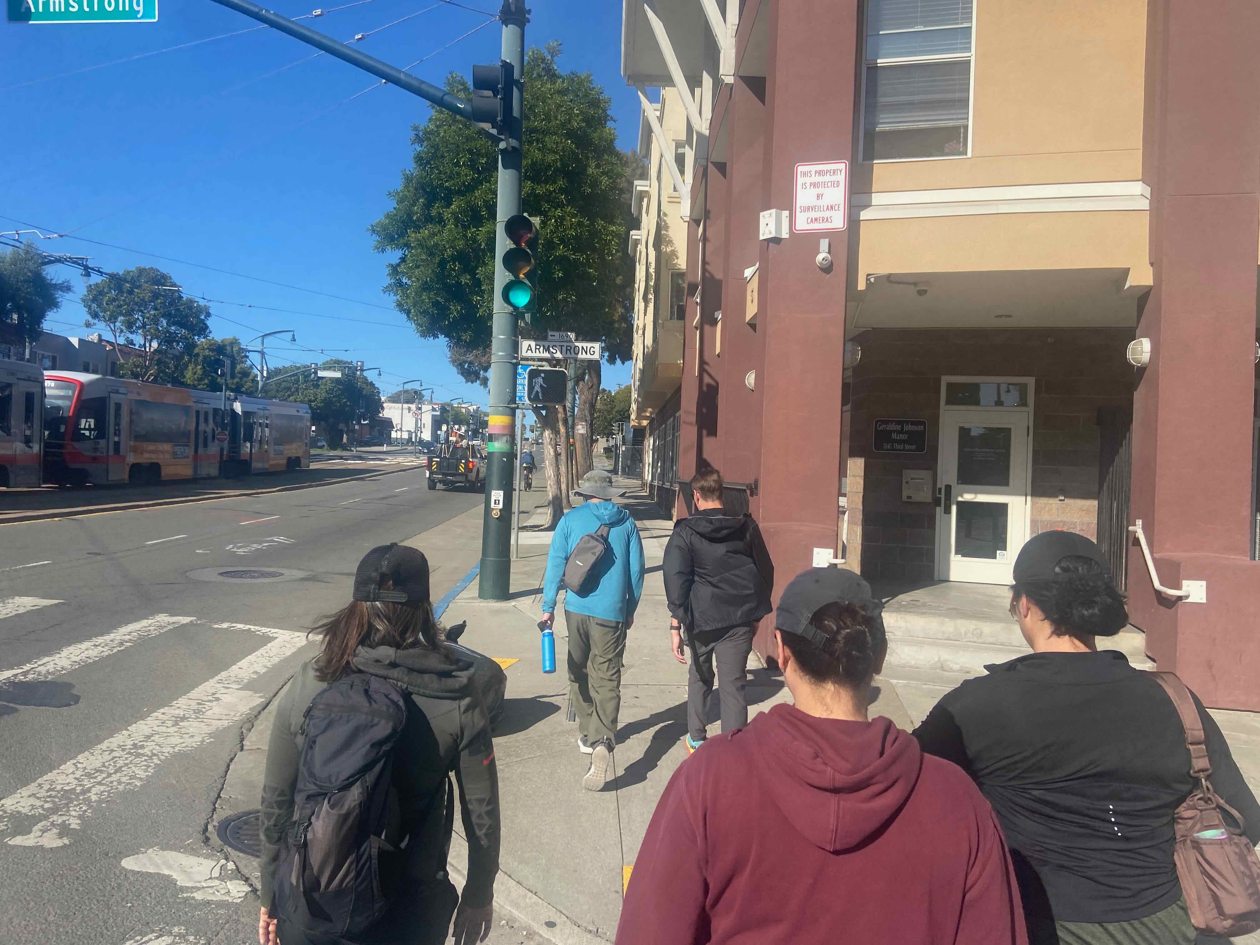
At this point we lost a few more of our party–soldiering onward the remainder took us through neighborhoods our party was less familiar with.
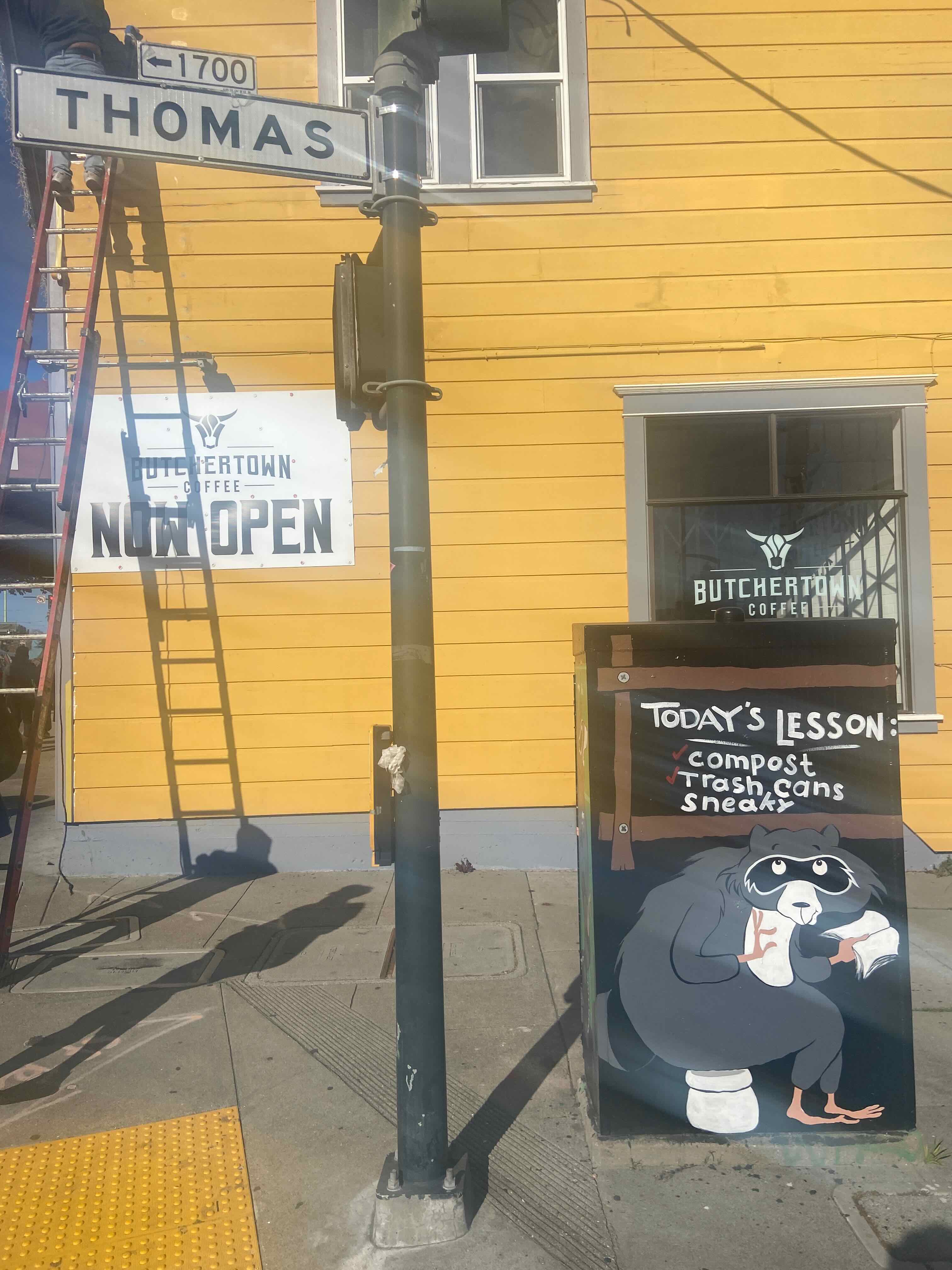
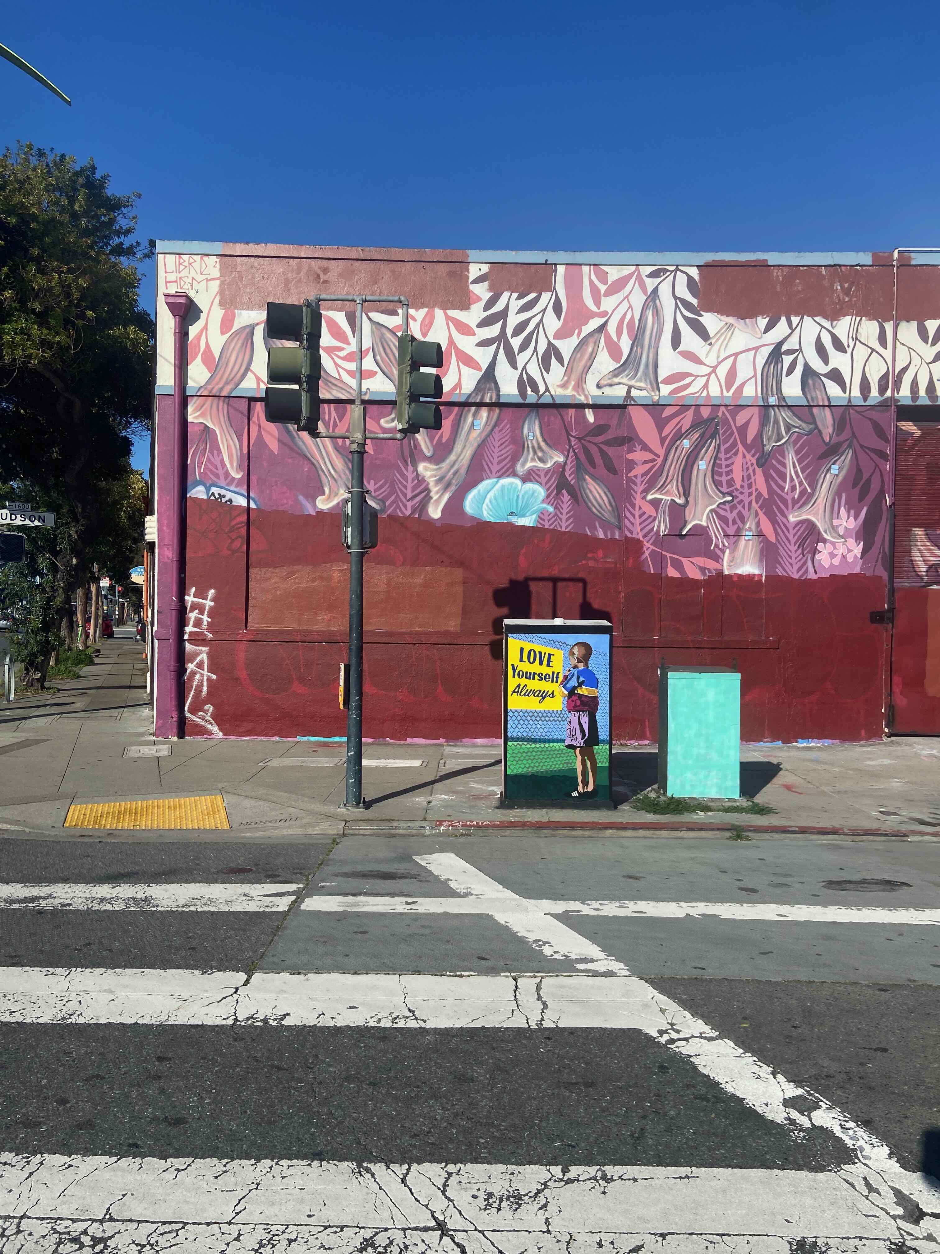
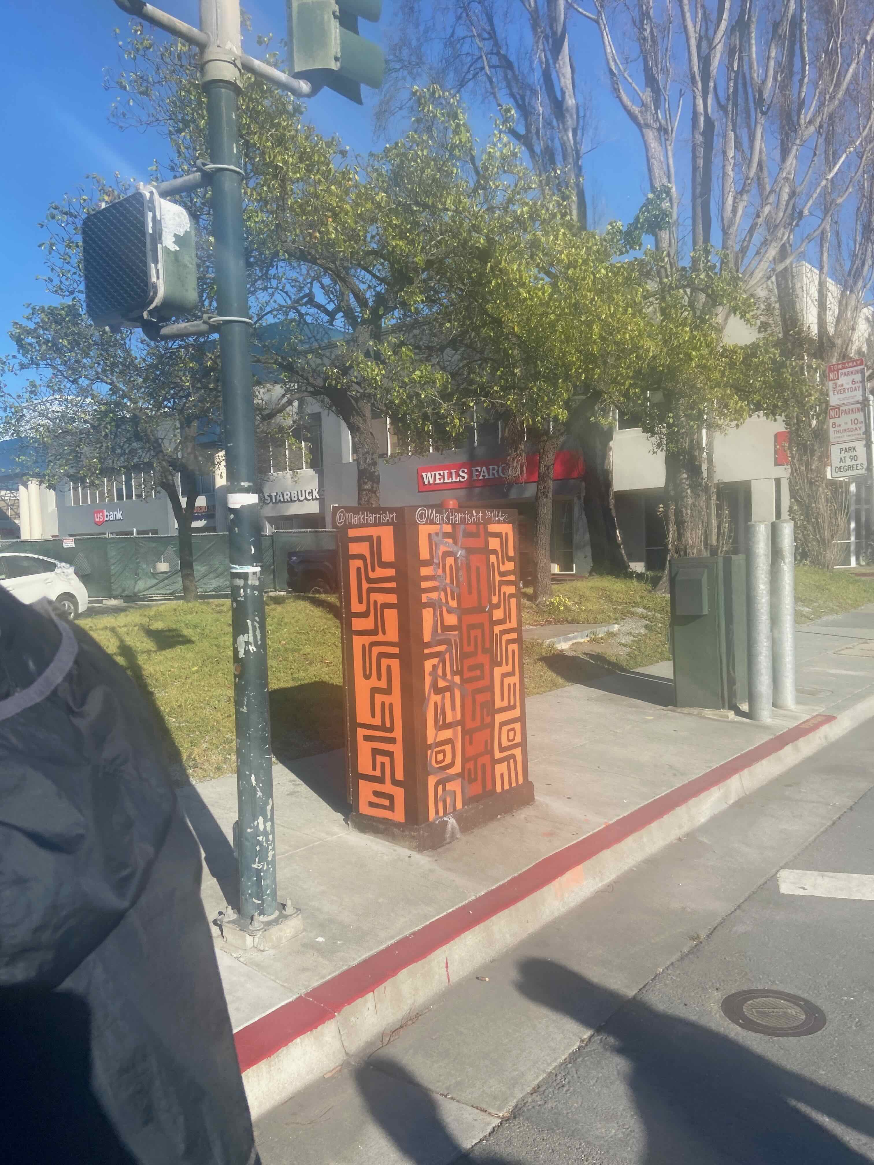
Utility box art:
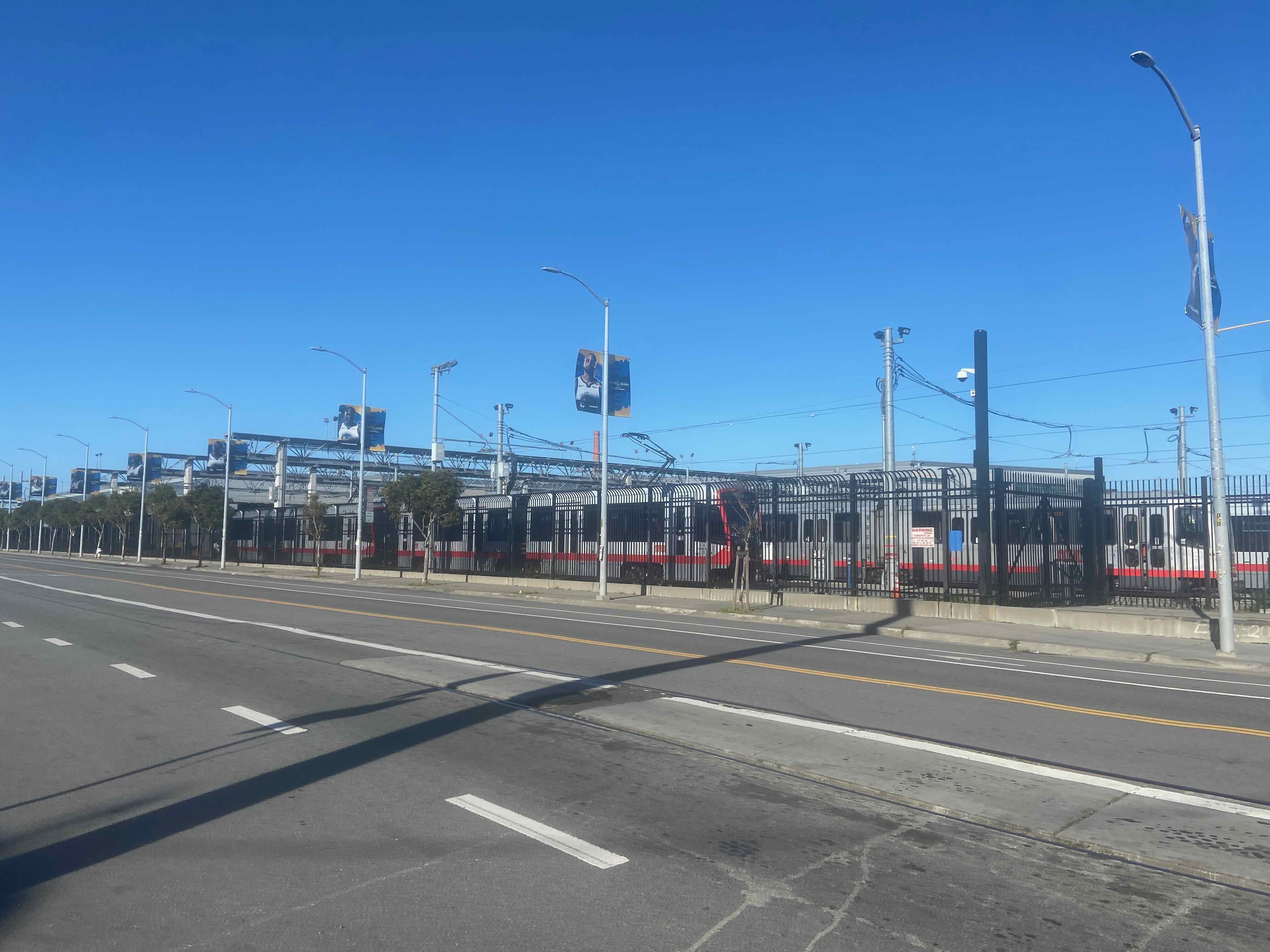
Muni streetcar parking lot:
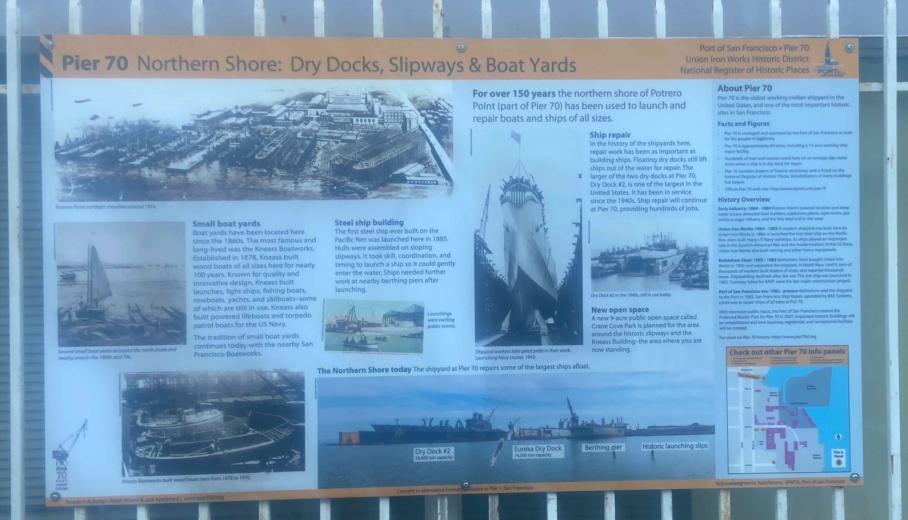
More signage indicating the history of war-time ship building in the area:
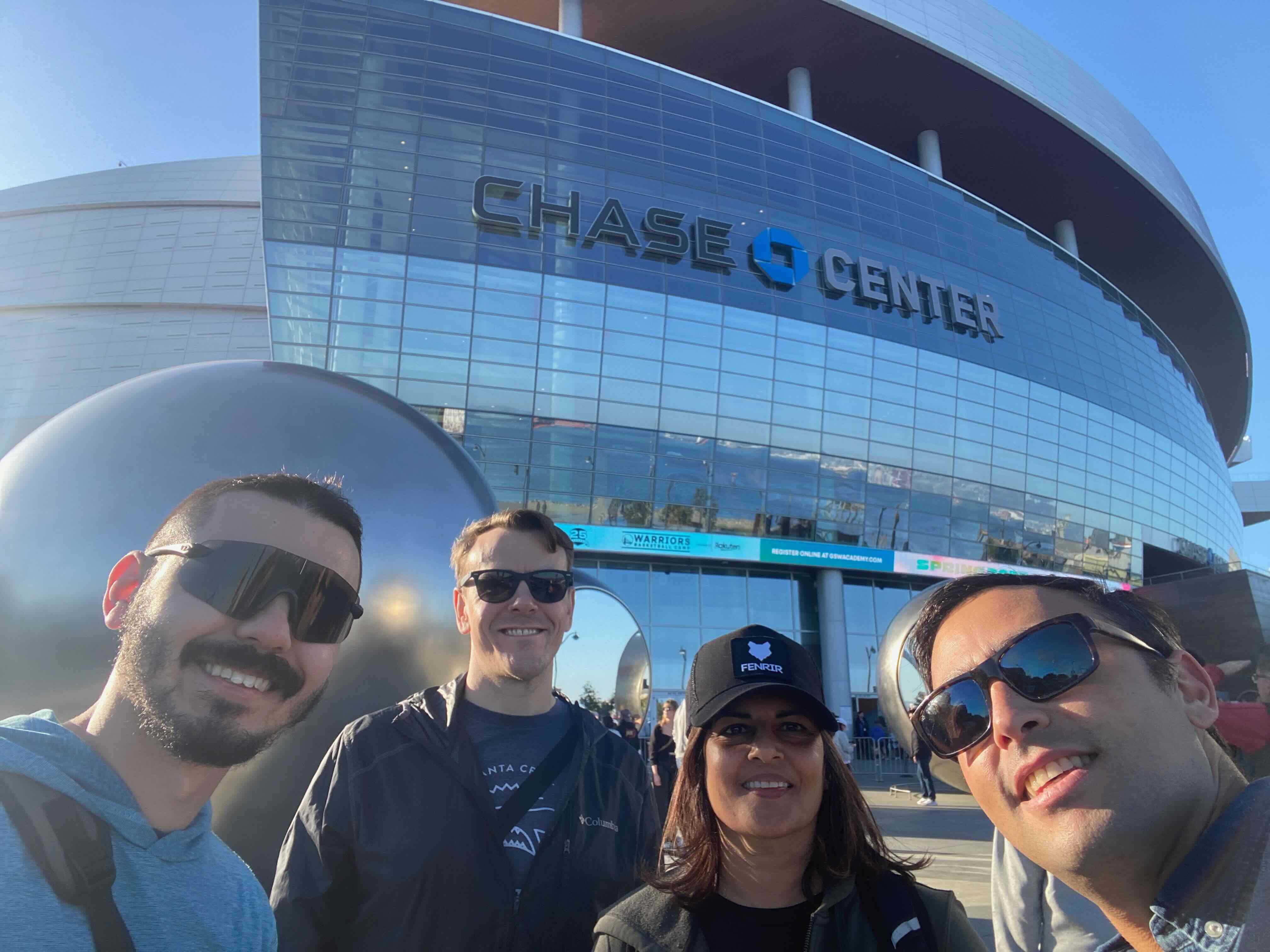
Nearing our destination, we took a selfie in front of the basketball arena:
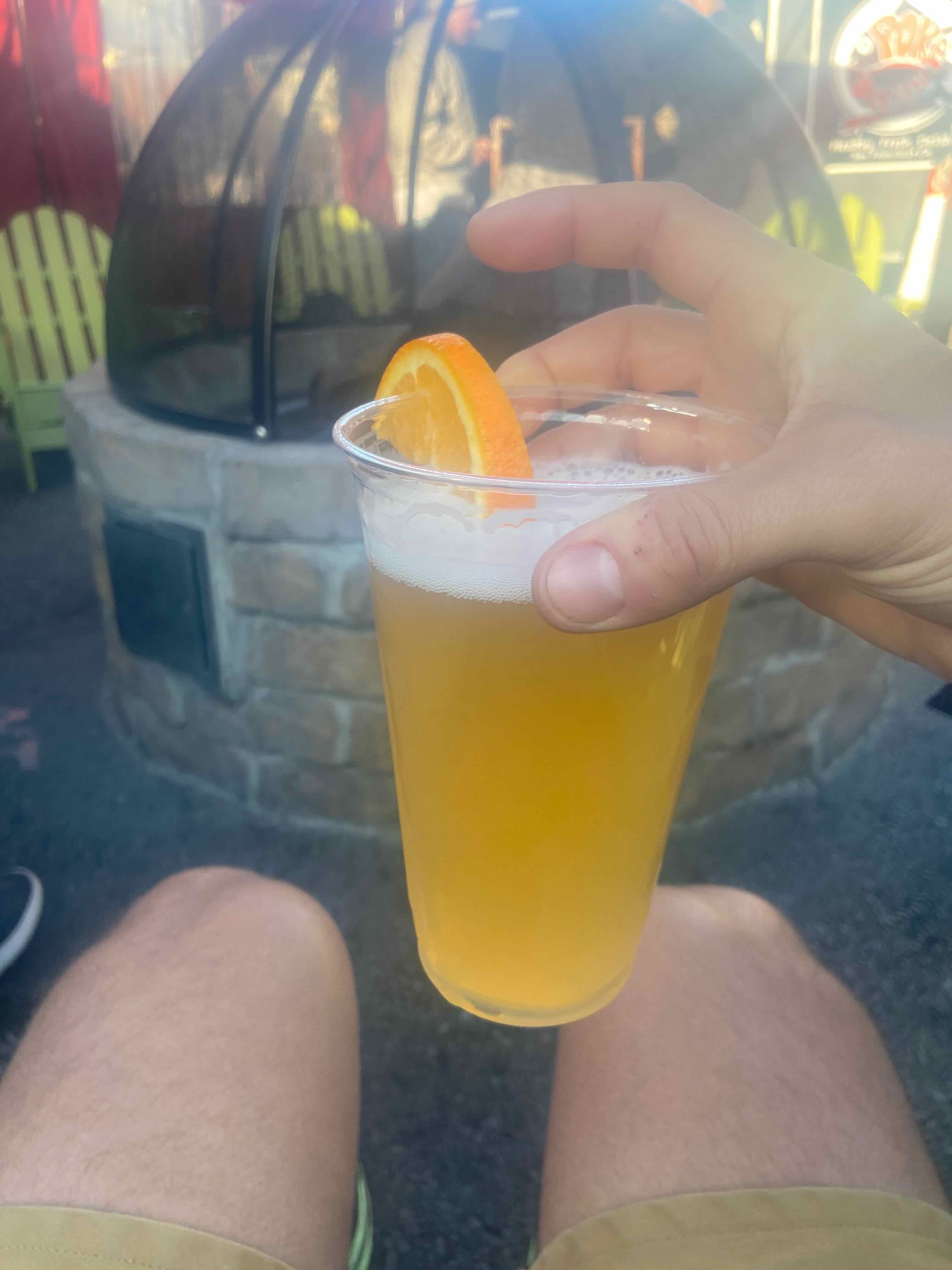
Celebrating with a beverage, at Spark Social:
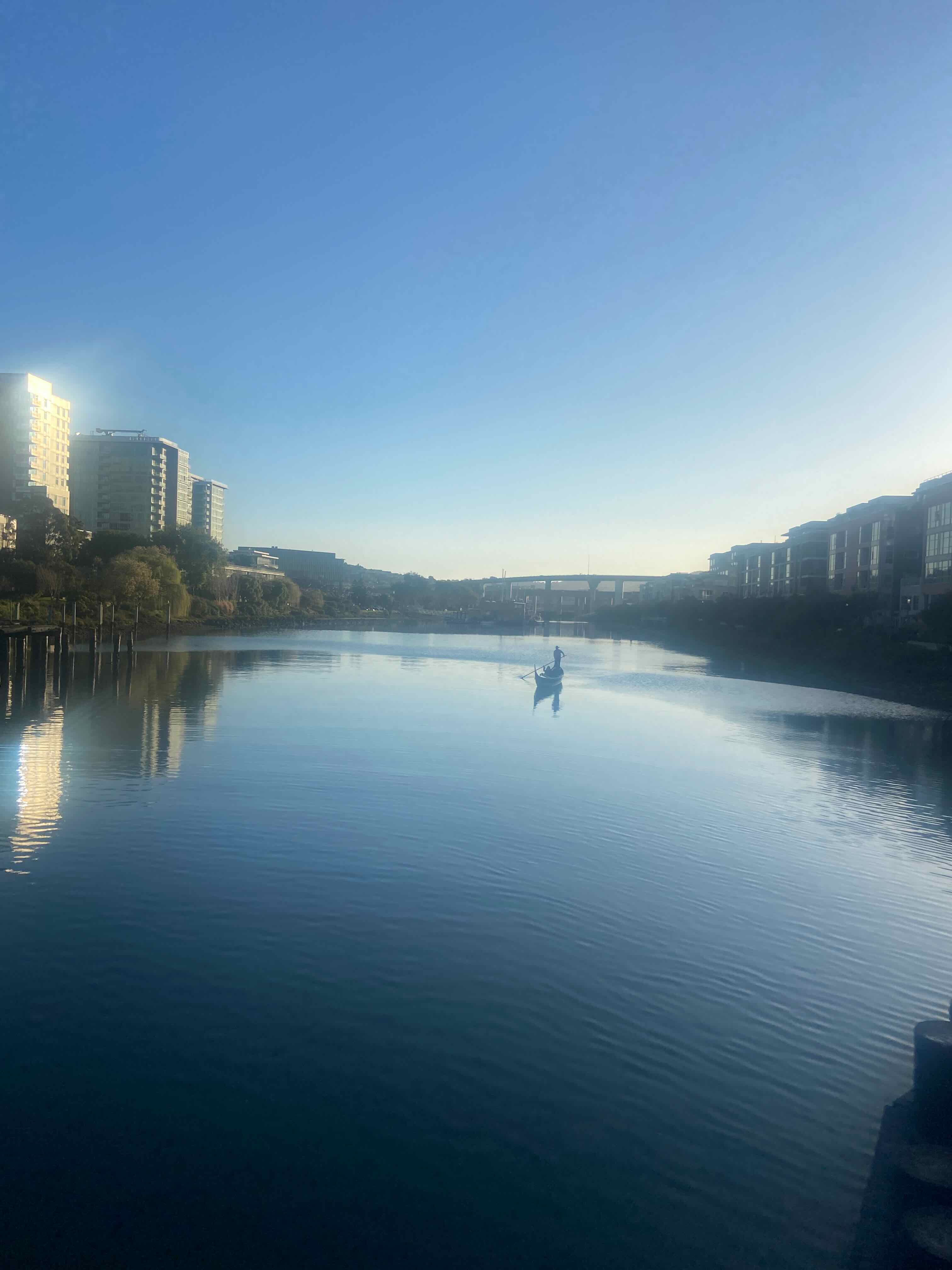
A short walk to 4th & King Caltrain, with a view–and we road Caltrain home, in about 25 minutes :)
Enjoyed this post? Get new posts via email