Essay · CALIFORNIA
SFO Descent

I flew by airplane (not bird) from southern California into San Francisco airport, and I had the good fortune to have a left-sided window seat.
Here are some photos from the descent, captured in black & white on my Ricoh GR iii:
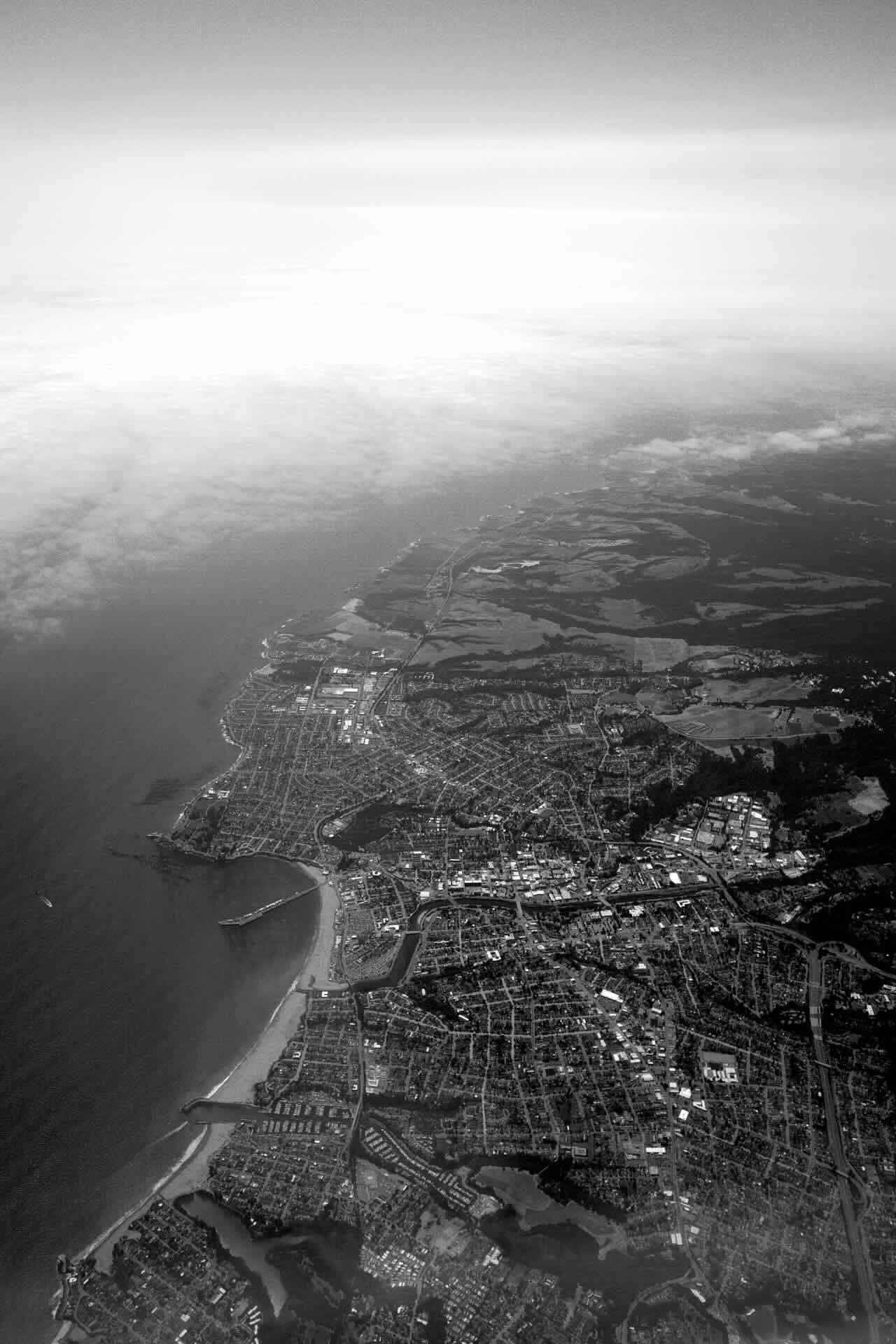
You can see the cloud front hitting Santa Cruz, coming from the northwest.
It is somewhat comical how flat-as-a-pancake this city is–a common reaction I had as we approached San Francisco airport (SFO).
We approached the inner San Francisco Bay Area, crossing the Santa Cruz mountain range:
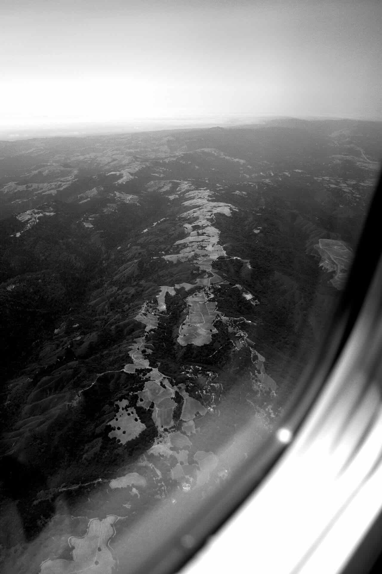
The approximate location of this photo is near Black Mountain, Los Altos.
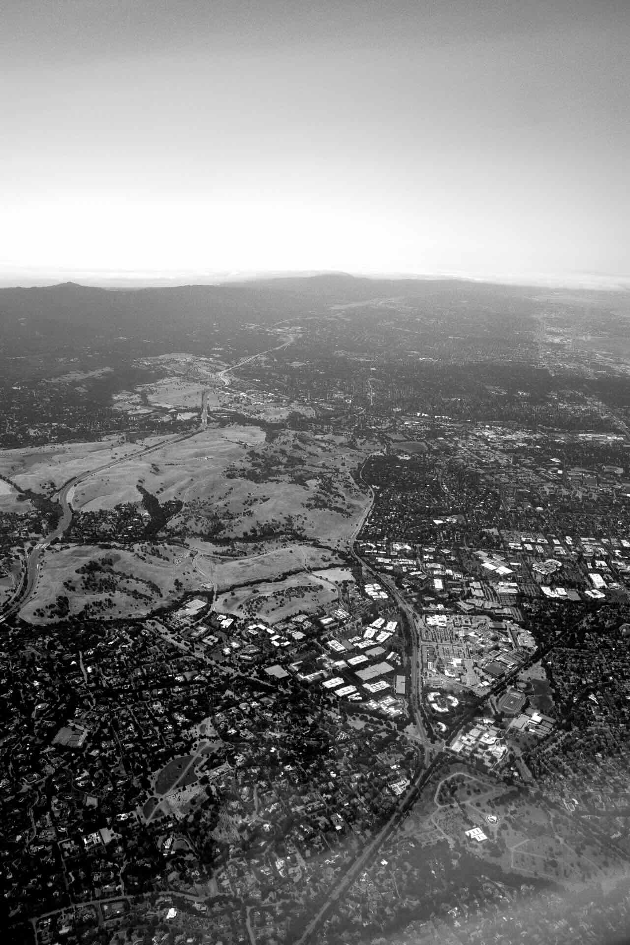
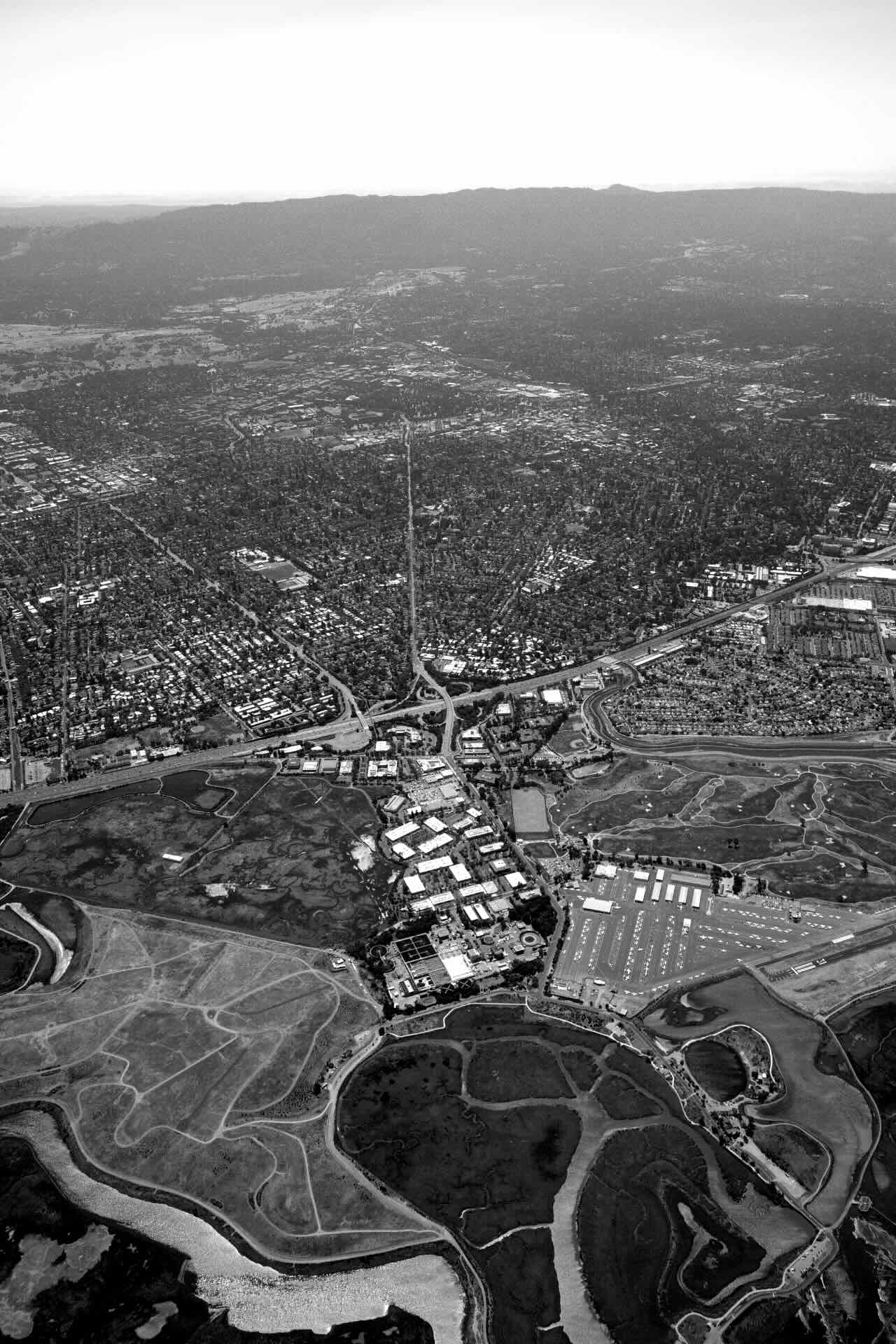
This view overlooks Stanford University’s campus, the Stanford Industrial/Research Park, the Stanford Dish, and highway 280 stretching northward:
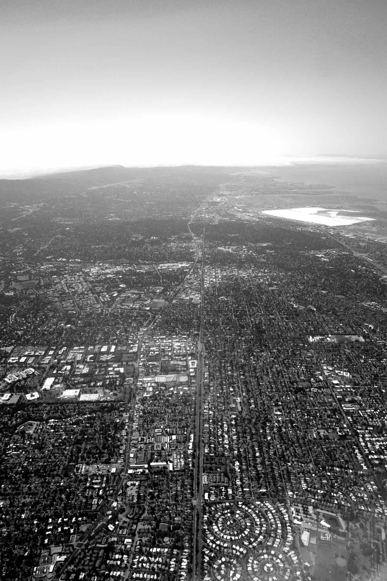
We passed over silicon valley, looking northward up long El Camino Real, the state highway:
And then state highway 101, the Bayshore Highway:
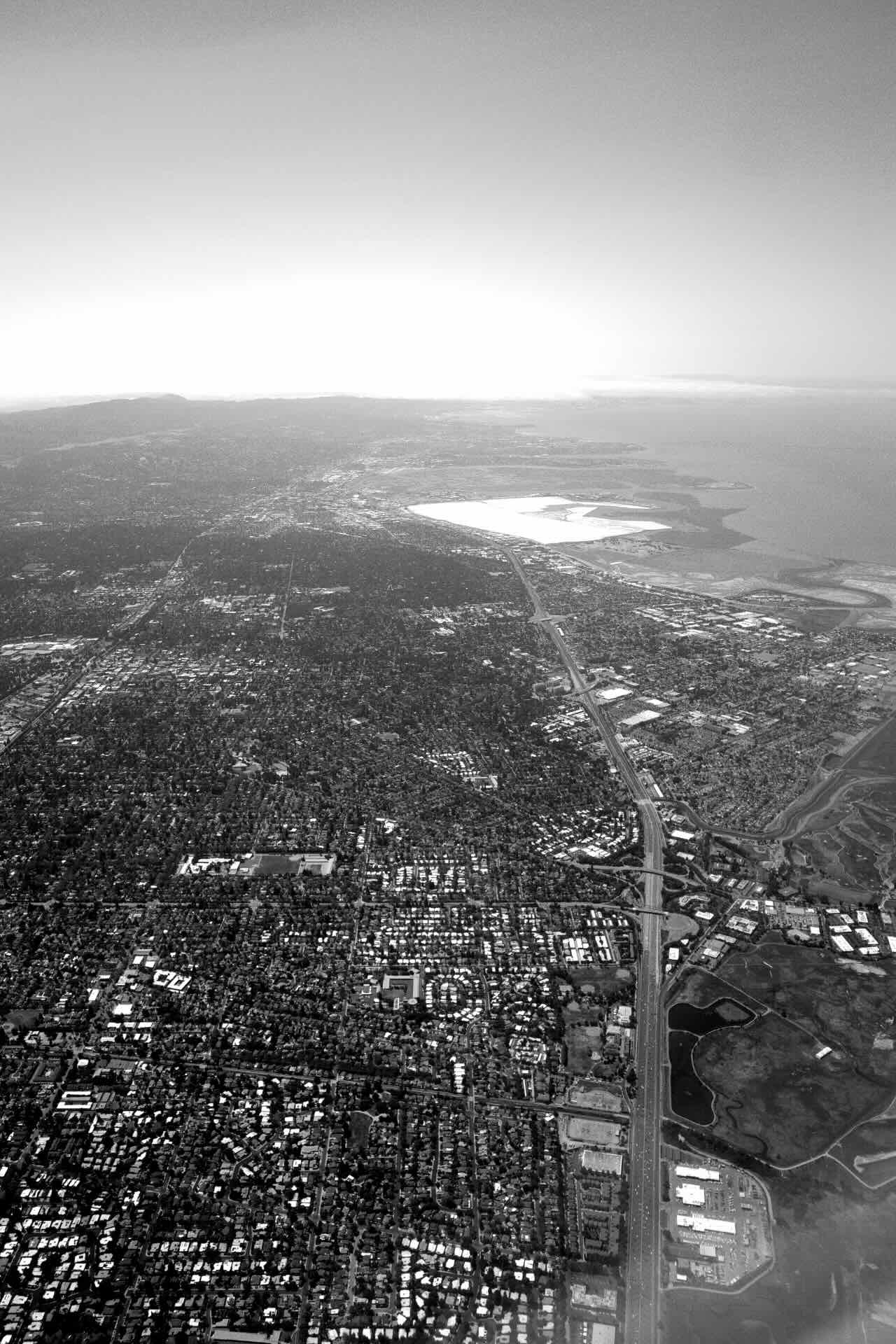
We banked and caught Byxbee Park and Palo Alto Airport, on the bay’s shore:
You can see just how the highway and suburban office park sprawl expanded onto the shallower portion of the bay:
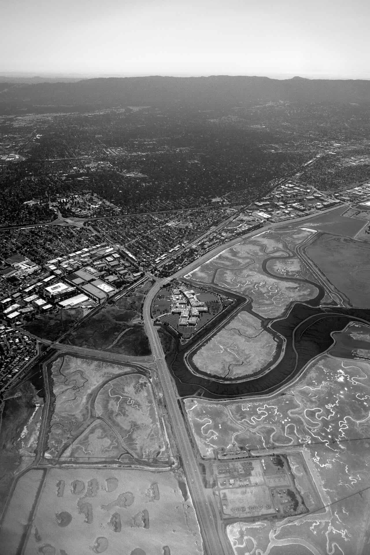
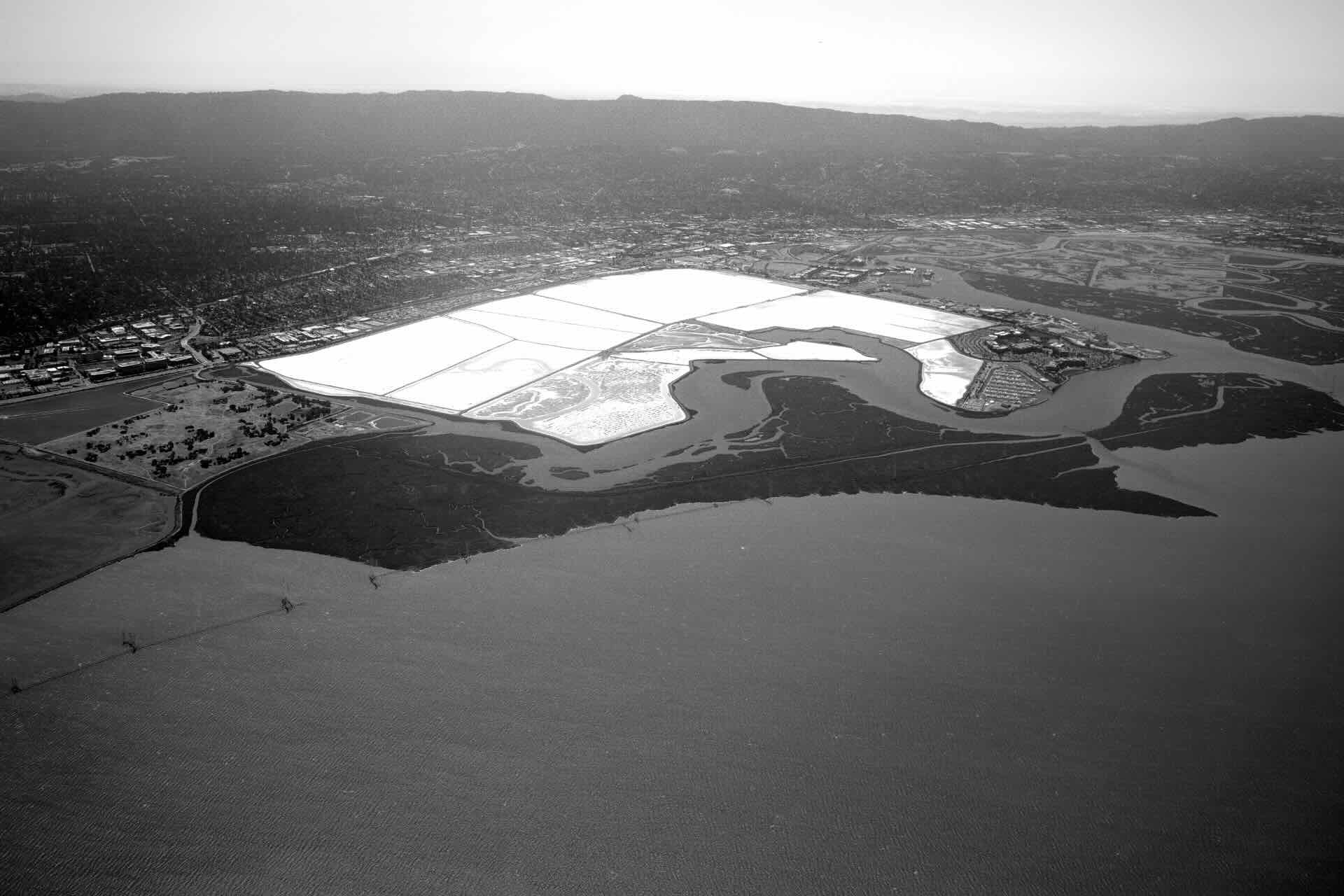
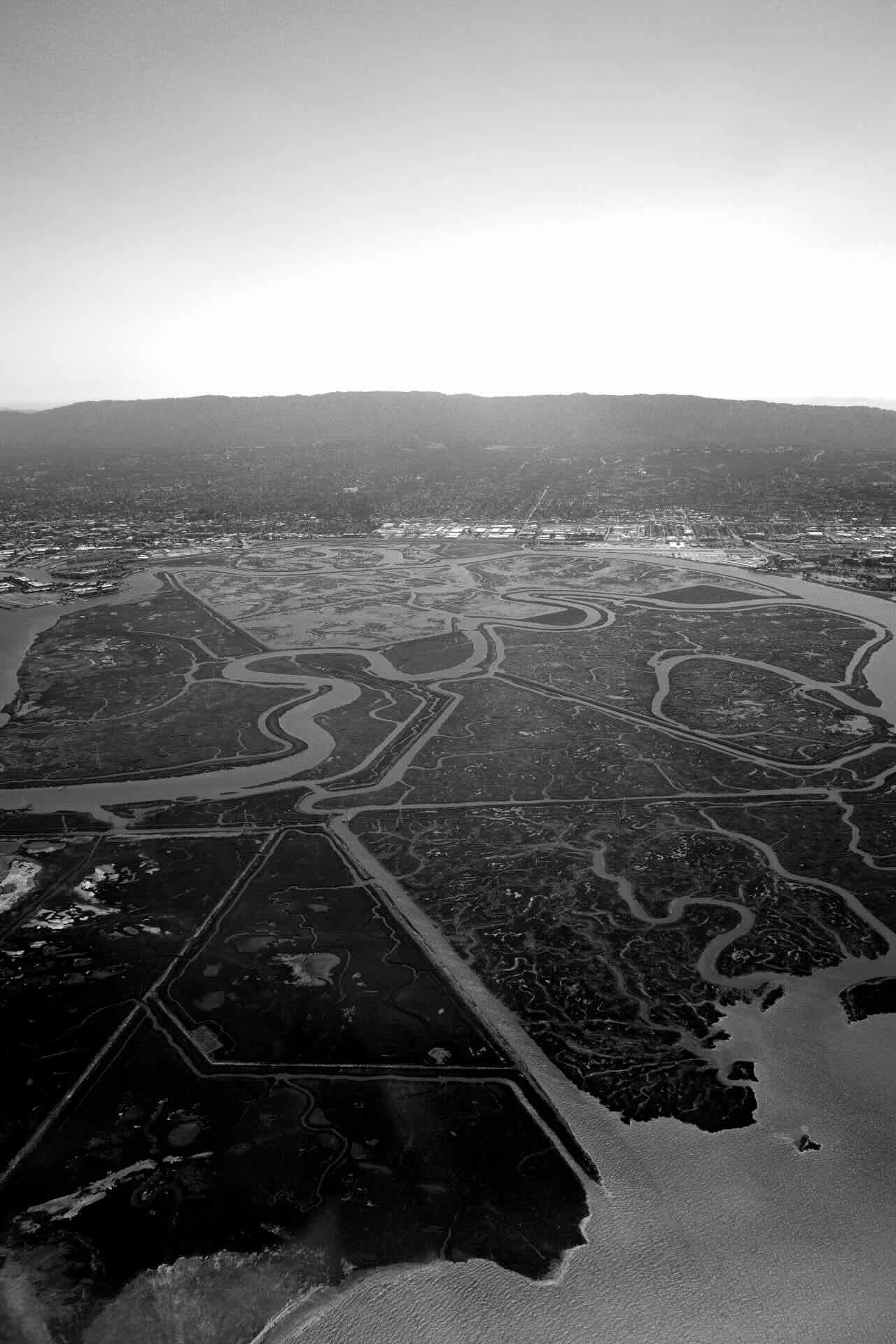
There is a huge salt flat, off to the east from downtown Redwood City:
Bair Island:
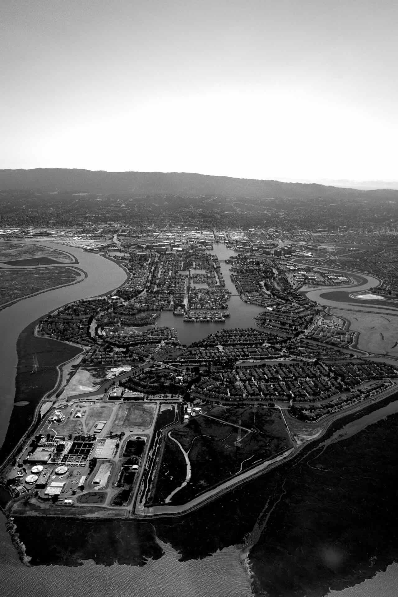
Redwood Shores, and its water treatment plant(?):
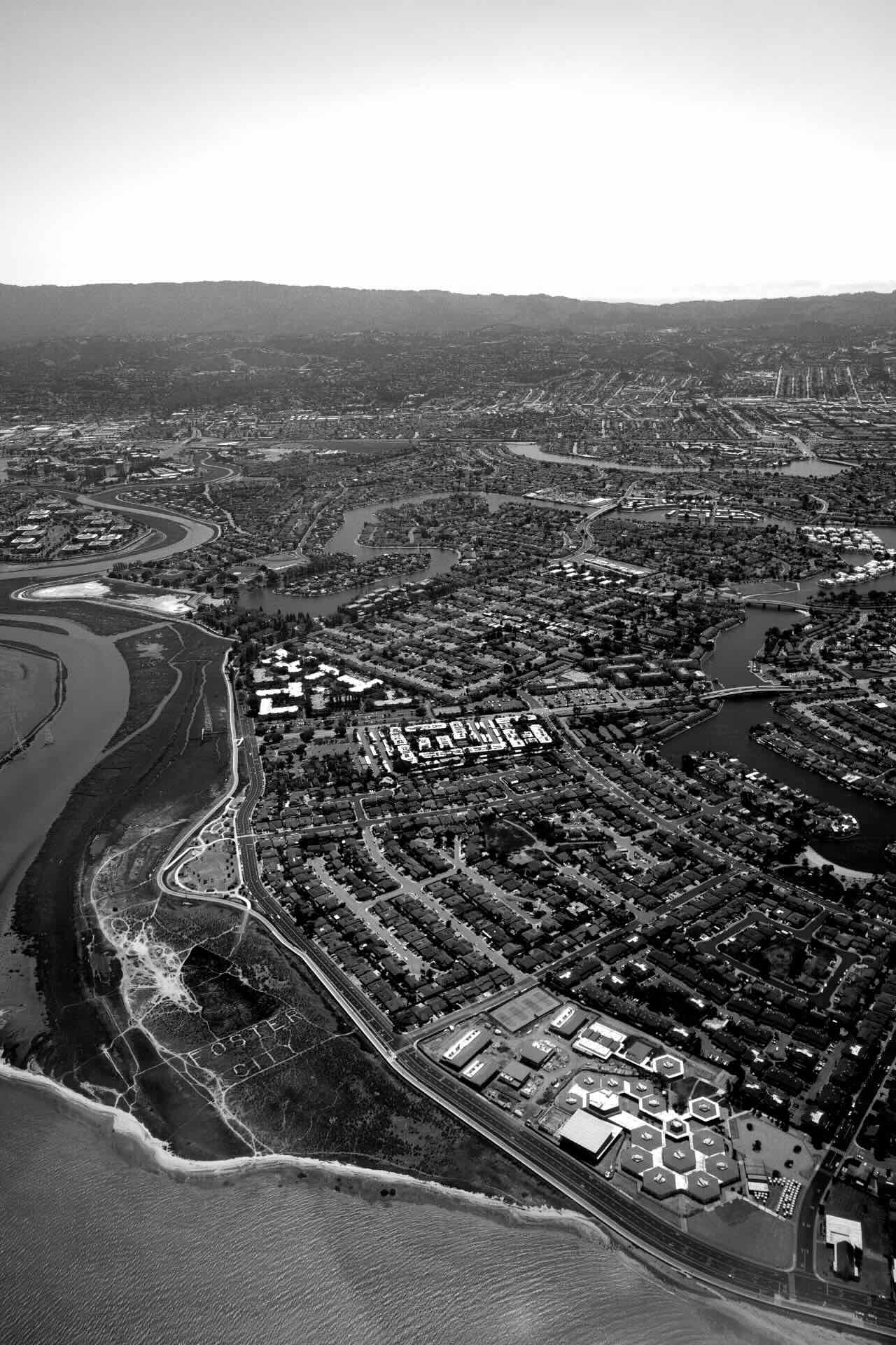
Foster City, with an interesting sign in the bottom left:
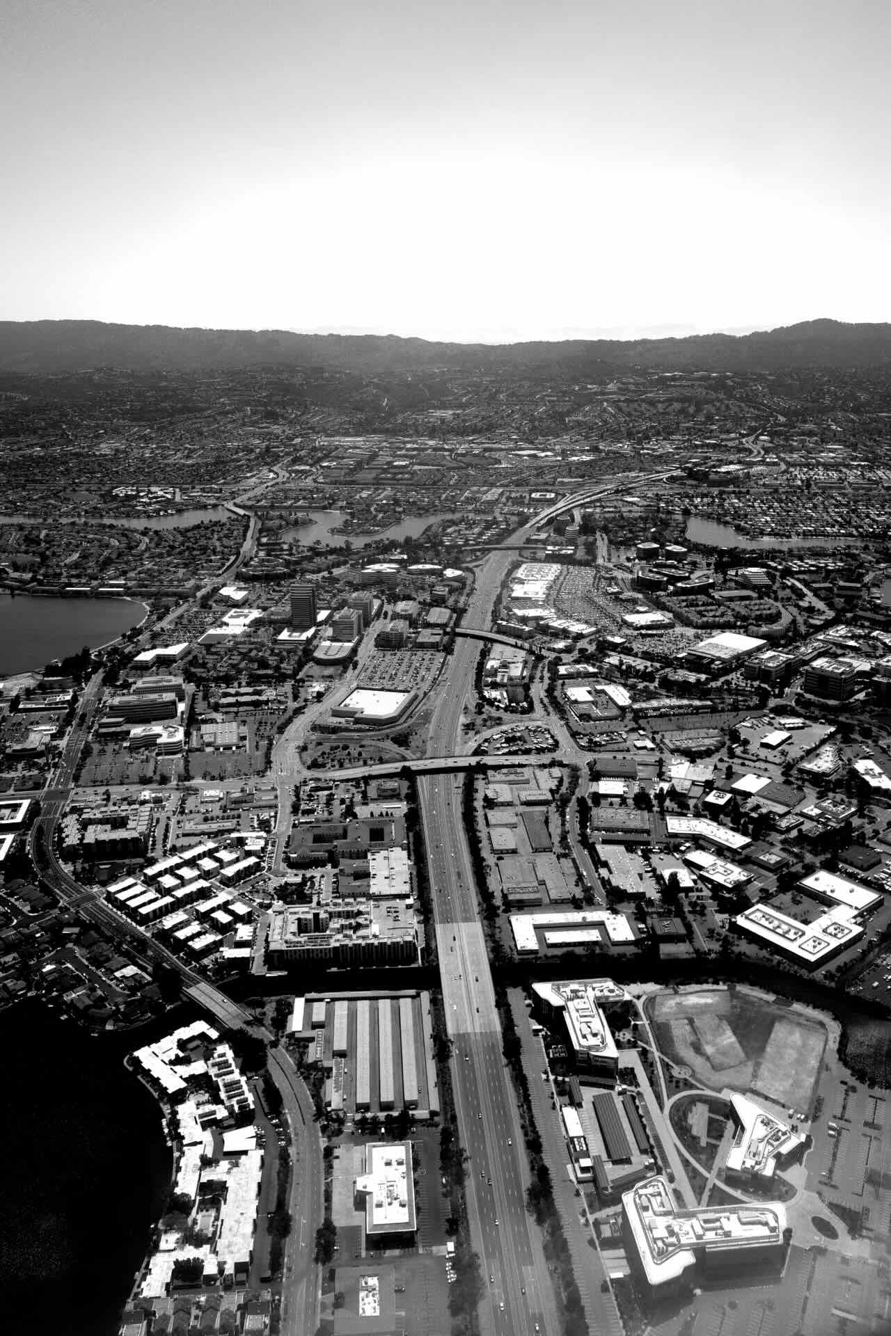
And highway 92, an east/west corridor, cutting through San Mateo and connecting with Half Moon Bay to the west (over the mountain range), and the Hayward Bridge:
I’ll be back with more photos.
Enjoyed this post? Get new posts via email